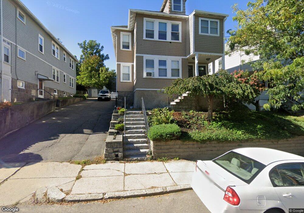
188 Cornell St Roslindale, MA 02131
Roslindale NeighborhoodEstimated Value: $903,000 - $968,998
About This Home
This home is located at 188 Cornell St, Roslindale, MA 02131 and is currently estimated at $935,250, approximately $366 per square foot. 188 Cornell St is a home located in Suffolk County with nearby schools including Brooke Charter School Roslindale and Sacred Heart STEM School.
Ownership History
We collect this data history from publicly available records. To have your information removed, we recommend requesting removal directly through your county’s website.
Purchase Details
Home Financials for this Owner
Home Financials are based on the most recent Mortgage that was taken out on this home.Home Values in the Area
Average Home Value in this Area
Purchase History
We collect this data history from publicly available records. To have your information removed, we recommend requesting removal directly through your county’s website.
| Date | Buyer | Sale Price | Title Company |
|---|---|---|---|
| $32,350 | -- |
Mortgage History
We collect this data history from publicly available records. To have your information removed, we recommend requesting removal directly through your county’s website.
| Date | Status | Borrower | Loan Amount |
|---|---|---|---|
| Closed | $0 |
Tax History
We collect this data history from publicly available records. To have your information removed, we recommend requesting removal directly through your county’s website.
| Year | Tax Paid | Tax Assessment Tax Assessment Total Assessment is a certain percentage of the fair market value that is determined by local assessors to be the total taxable value of land and additions on the property. | Land | Improvement |
|---|---|---|---|---|
| 2025 | $8,485 | $732,700 | $228,700 | $504,000 |
| 2024 | $7,641 | $701,000 | $239,500 | $461,500 |
| 2023 | $7,238 | $673,900 | $230,200 | $443,700 |
| 2022 | $6,666 | $612,700 | $209,300 | $403,400 |
| 2021 | $6,409 | $600,700 | $205,200 | $395,500 |
| 2020 | $5,778 | $547,200 | $184,800 | $362,400 |
| 2019 | $5,434 | $515,600 | $154,500 | $361,100 |
| 2018 | $5,099 | $486,500 | $154,500 | $332,000 |
| 2017 | $5,049 | $476,800 | $154,500 | $322,300 |
| 2016 | $4,855 | $441,400 | $154,500 | $286,900 |
| 2015 | $4,633 | $382,600 | $143,000 | $239,600 |
| 2014 | $4,297 | $341,600 | $143,000 | $198,600 |
Map
- 4471 Washington St Unit 8
- 4471 Washington St Unit 1
- 60-62 Wellsmere Rd Unit 2
- 60-62 Wellsmere Rd Unit 3
- 60-62 Wellsmere Rd Unit 1
- 9 Cedrus Ave
- 29 Denton Terrace
- 338 Beech St
- 55 Metropolitan Ave
- 9 June St Unit 2
- 9 June St Unit 1
- 196 Durnell Ave Unit 196
- 4370 Washington St Unit 2
- 95 Orange St
- 142 Metropolitan Ave
- 498 Beech St
- 43 Cliftondale St Unit 1
- 778 W Roxbury Pkwy
- 15 Hillock St Unit 2
- 60-62 Cornell St Unit 62
- 0 Cornell St
- 4458 Washington St
- 199 Cornell St
- 4446 Washington St Unit 4448
- 4446-4448 Washington St Unit 1
- 4446 Washington St Unit 1
- 4448 Washington St Unit 2
- 4448 Washington St
- 4448 Washington St Unit 1
- 195 Cornell St
- 202 Cornell St Unit 204
- 202 Cornell St Unit 1
- 193 Cornell St
- 191 Cornell St
- 193 Cornell St Unit 2
- 4464 Washington St Unit 1-3
- 4464 Washington St Unit 4468
- 4464 Washington St Unit 1
- 4464 Washington St Unit 3
- 4464 Washington St Unit 2
Ask me questions while you tour the home.