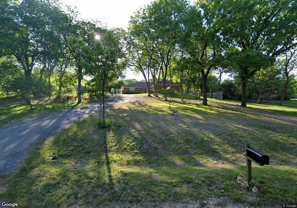
188 Coushatta Dr Denison, TX 75020
Estimated Value: $380,187 - $418,000
--
Bed
--
Bath
1,975
Sq Ft
$202/Sq Ft
Est. Value
About This Home
This home is located at 188 Coushatta Dr, Denison, TX 75020 and is currently estimated at $398,297, approximately $201 per square foot. 188 Coushatta Dr is a home located in Grayson County with nearby schools including Mayes Elementary School, Scott Middle School, and Denison High School.
Ownership History
Date
Name
Owned For
Owner Type
Purchase Details
Closed on
Jan 18, 2008
Sold by
Ebert Donald F and Ebert Mary E
Bought by
Westenhaver Brenda Faye and Westenhaver Ronald Lee
Current Estimated Value
Home Financials for this Owner
Home Financials are based on the most recent Mortgage that was taken out on this home.
Original Mortgage
$160,000
Outstanding Balance
$100,732
Interest Rate
6.11%
Mortgage Type
Purchase Money Mortgage
Estimated Equity
$297,565
Create a Home Valuation Report for This Property
The Home Valuation Report is an in-depth analysis detailing your home's value as well as a comparison with similar homes in the area
Home Values in the Area
Average Home Value in this Area
Purchase History
| Date | Buyer | Sale Price | Title Company |
|---|---|---|---|
| Westenhaver Brenda Faye | -- | Safeland Title Co |
Source: Public Records
Mortgage History
| Date | Status | Borrower | Loan Amount |
|---|---|---|---|
| Open | Westenhaver Brenda Faye | $160,000 |
Source: Public Records
Tax History Compared to Growth
Tax History
| Year | Tax Paid | Tax Assessment Tax Assessment Total Assessment is a certain percentage of the fair market value that is determined by local assessors to be the total taxable value of land and additions on the property. | Land | Improvement |
|---|---|---|---|---|
| 2025 | $3,695 | $348,641 | -- | -- |
| 2024 | $5,107 | $316,946 | $0 | $0 |
| 2023 | $3,249 | $288,133 | $0 | $0 |
| 2022 | $4,516 | $261,939 | $0 | $0 |
| 2021 | $4,453 | $250,188 | $32,000 | $218,188 |
| 2020 | $4,299 | $244,260 | $26,000 | $218,260 |
| 2019 | $4,169 | $238,158 | $24,000 | $214,158 |
| 2018 | $3,830 | $233,616 | $24,000 | $209,616 |
| 2017 | $3,504 | $199,012 | $24,000 | $175,012 |
| 2016 | $3,185 | $147,857 | $19,000 | $128,857 |
| 2015 | $2,594 | $156,768 | $14,000 | $142,768 |
| 2014 | $2,419 | $127,501 | $14,000 | $113,501 |
Source: Public Records
Map
Nearby Homes
- 4135 Helen Dr
- 106 Glenwood Dr
- TBD Highland Dr
- Lot 3, 1055 Waters Edge Dr
- Lot 4, 1069 Waters Edge Dr
- Lot 2, 1037 Waters Edge Dr
- Lot 1, 1015 Waters Edge Dr
- Lot 5, 1087 Waters Edge Dr
- Lot 6, 1088 Waters Edge Dr
- Lot 7, 1070 Waters Edge Dr
- Lot 9, 1036 Waters Edge Dr
- Lot 10, 1014 Waters Edge Dr
- 1240 Carla St
- 2923 W Parnell St
- 3906 Highland Dr
- 20 Golf Walk Cir
- 334 Golf Walk Cir
- 000 TBD Golf Walk Cir
- 2811 W Washington St
- 2912 W Elm St
- 172 Coushatta Dr
- 138 Coushatta Dr
- 169 Coushatta Dr
- 32 Shawnee Cir
- 83 Shawnee Cir
- 236 Coushatta Dr
- 82 Shawnee Cir
- 112 Coushatta Dr
- 239 Coushatta Dr
- 3864 Fm 84
- 274 Coushatta Dr
- 87 Coushatta Dr
- 72 Coushatta Dr
- 367 Coushatta Dr
- 43 Coushatta Dr
- 417 Coushatta Dr
- 300 Coushatta Dr
- 3616 Fm 84
- 400 Coushatta Dr
- 376 Coushatta Dr