188 Cross St Rowley, MA 01969
Estimated Value: $869,324 - $1,072,000
3
Beds
3
Baths
2,485
Sq Ft
$387/Sq Ft
Est. Value
About This Home
This home is located at 188 Cross St, Rowley, MA 01969 and is currently estimated at $962,081, approximately $387 per square foot. 188 Cross St is a home located in Essex County with nearby schools including Triton Regional High School, North Shore Montessori School, and Clark School.
Ownership History
Date
Name
Owned For
Owner Type
Purchase Details
Closed on
Oct 25, 2021
Sold by
Silva Patrick R
Bought by
Patrick & Nancy Silva Lt
Current Estimated Value
Purchase Details
Closed on
Oct 8, 2004
Sold by
Gerrish Marybeth and Gerrish Thomas M
Bought by
Silva Patrick R
Create a Home Valuation Report for This Property
The Home Valuation Report is an in-depth analysis detailing your home's value as well as a comparison with similar homes in the area
Home Values in the Area
Average Home Value in this Area
Purchase History
| Date | Buyer | Sale Price | Title Company |
|---|---|---|---|
| Patrick & Nancy Silva Lt | -- | None Available | |
| Silva Patrick R | $515,000 | -- |
Source: Public Records
Mortgage History
| Date | Status | Borrower | Loan Amount |
|---|---|---|---|
| Previous Owner | Silva Patrick R | $135,000 | |
| Previous Owner | Silva Patrick R | $103,000 | |
| Previous Owner | Silva Patrick R | $136,000 |
Source: Public Records
Tax History
| Year | Tax Paid | Tax Assessment Tax Assessment Total Assessment is a certain percentage of the fair market value that is determined by local assessors to be the total taxable value of land and additions on the property. | Land | Improvement |
|---|---|---|---|---|
| 2025 | $9,789 | $831,700 | $305,400 | $526,300 |
| 2024 | $8,964 | $740,800 | $290,900 | $449,900 |
| 2023 | $8,871 | $681,300 | $252,500 | $428,800 |
| 2022 | $8,956 | $612,600 | $210,200 | $402,400 |
| 2021 | $9,225 | $592,100 | $183,200 | $408,900 |
| 2020 | $9,050 | $580,900 | $174,800 | $406,100 |
| 2019 | $8,235 | $561,000 | $174,800 | $386,200 |
| 2018 | $7,258 | $497,800 | $174,800 | $323,000 |
| 2017 | $6,848 | $484,300 | $174,800 | $309,500 |
| 2016 | $7,272 | $506,400 | $151,800 | $354,600 |
| 2015 | $6,906 | $485,000 | $151,800 | $333,200 |
Source: Public Records
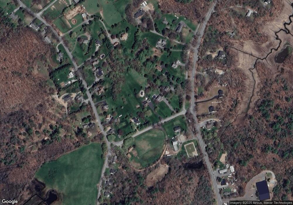
Map
Nearby Homes
- 117 Kittery Ave
- 34 Central St Unit 2
- 34 Central St Unit 1
- 601 Newburyport Turnpike
- 1 Osprey Ct
- Lot 6 Osprey Ct
- 304 & 480 Wethersfield St & Nbpt Tnpk
- 10 Old Rowley Rd
- 460 - 472 Newburyport Turnpike
- 480 Newburyport Turnpike
- 304-312 Wethersfield St
- 308 & 312 Wethersfield St
- 36 Caldwell Farm Rd
- 54 Cottage Rd
- 10 Choate Ln
- 196 Country Club Way
- 75 Country Club Way
- 4 Sheppards Way
- 18 Northridge Rd
- 123 Jeffreys Neck Rd
- 194 Cross St
- 182 Cross St
- 434 Main St
- 444 Main St
- 15 Kittery Ave
- 7 Kittery Ave
- 11 Kittery Ave
- 450 Main St
- 424 Main St
- 21 Kittery Ave
- 169 Cross St
- 123 Roast Beef and Pizza Place
- 45 Turnpike
- Lot 43 Falcon Ridge
- 43 Falcon Ridge
- 25 Falcon Ridge
- 3 Falcon Ridge
- 32 Falcon Ridge
- 37 Falcon Ridge
- 5 Falcon Ridge
Your Personal Tour Guide
Ask me questions while you tour the home.