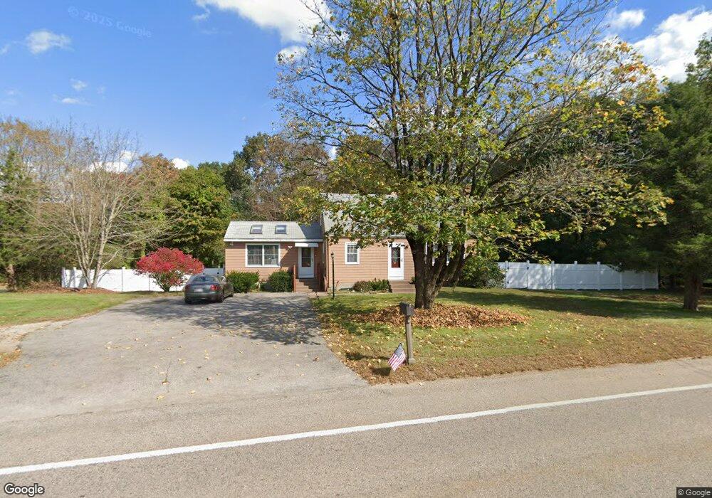
188 East St Foxboro, MA 02035
Estimated Value: $569,000 - $633,000
3
Beds
2
Baths
1,488
Sq Ft
$407/Sq Ft
Est. Value
About This Home
This home is located at 188 East St, Foxboro, MA 02035 and is currently estimated at $605,446, approximately $406 per square foot. 188 East St is a home located in Norfolk County with nearby schools including Foxborough High School, St Mary's Catholic School, and Hands-On-Montessori School.
Ownership History
Date
Name
Owned For
Owner Type
Purchase Details
Closed on
Oct 6, 2010
Sold by
Owb Reo Llc
Bought by
Kilani Zouheir A and Chalak Afaf
Current Estimated Value
Home Financials for this Owner
Home Financials are based on the most recent Mortgage that was taken out on this home.
Original Mortgage
$245,400
Outstanding Balance
$162,103
Interest Rate
4.37%
Mortgage Type
Purchase Money Mortgage
Estimated Equity
$443,343
Purchase Details
Closed on
Aug 9, 2010
Sold by
Maling Paula S
Bought by
Owb Reo Llc
Home Financials for this Owner
Home Financials are based on the most recent Mortgage that was taken out on this home.
Original Mortgage
$245,400
Outstanding Balance
$162,103
Interest Rate
4.37%
Mortgage Type
Purchase Money Mortgage
Estimated Equity
$443,343
Purchase Details
Closed on
Jun 1, 2004
Sold by
Mccarthy Mary T and Mccarthy Paul J
Bought by
Maling Paula S
Create a Home Valuation Report for This Property
The Home Valuation Report is an in-depth analysis detailing your home's value as well as a comparison with similar homes in the area
Home Values in the Area
Average Home Value in this Area
Purchase History
| Date | Buyer | Sale Price | Title Company |
|---|---|---|---|
| Kilani Zouheir A | $254,000 | -- | |
| Owb Reo Llc | $223,717 | -- | |
| Maling Paula S | $380,000 | -- |
Source: Public Records
Mortgage History
| Date | Status | Borrower | Loan Amount |
|---|---|---|---|
| Open | Kilani Zouheir A | $245,400 |
Source: Public Records
Tax History Compared to Growth
Tax History
| Year | Tax Paid | Tax Assessment Tax Assessment Total Assessment is a certain percentage of the fair market value that is determined by local assessors to be the total taxable value of land and additions on the property. | Land | Improvement |
|---|---|---|---|---|
| 2025 | $6,465 | $489,000 | $194,200 | $294,800 |
| 2024 | $6,148 | $455,100 | $209,300 | $245,800 |
| 2023 | $6,021 | $423,700 | $199,300 | $224,400 |
| 2022 | $5,815 | $400,500 | $178,700 | $221,800 |
| 2021 | $5,387 | $365,500 | $169,800 | $195,700 |
| 2020 | $5,213 | $357,800 | $169,800 | $188,000 |
| 2019 | $5,085 | $345,900 | $170,200 | $175,700 |
| 2018 | $4,871 | $334,300 | $161,700 | $172,600 |
| 2017 | $4,712 | $313,300 | $159,100 | $154,200 |
| 2016 | $4,705 | $317,500 | $153,000 | $164,500 |
| 2015 | $4,230 | $278,500 | $114,000 | $164,500 |
| 2014 | $4,175 | $278,500 | $114,000 | $164,500 |
Source: Public Records
Map
Nearby Homes
- 7 Revere Dr
- 261 East St
- 12 Community Way
- 5 Lauren Ln
- 67 Morse St
- 35 Independence Dr Unit 35
- 9 Independence Dr Unit 9
- 132 Cannon Forge Dr
- 2 Red Fox Run
- 170 Cannon Forge Dr
- 25 Winter St
- 55-57 Pine Needle Ln
- 260 Massapoag Ave
- 3 Cushing Ln
- 619 N Main St
- 218 Massapoag Ave
- 3 Nicole Rd
- 409 Pratt St
- 42 Angell St
- 44 Angell St Unit 44