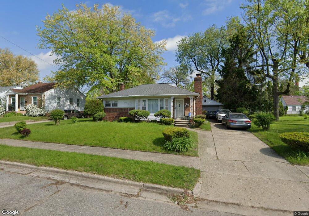
188 Fulton St Pontiac, MI 48341
Estimated Value: $113,452 - $155,000
3
Beds
2
Baths
1,170
Sq Ft
$116/Sq Ft
Est. Value
About This Home
This home is located at 188 Fulton St, Pontiac, MI 48341 and is currently estimated at $135,363, approximately $115 per square foot. 188 Fulton St is a home located in Oakland County with nearby schools including Walt Whitman Elementary School, Pontiac Middle School, and Pontiac High School.
Ownership History
Date
Name
Owned For
Owner Type
Purchase Details
Closed on
Jul 2, 2009
Sold by
St Pierre Jr Cecil D and Estate Of Nathaniel Carter
Bought by
Brinson Edwina
Current Estimated Value
Home Financials for this Owner
Home Financials are based on the most recent Mortgage that was taken out on this home.
Original Mortgage
$31,969
Outstanding Balance
$20,469
Interest Rate
4.94%
Mortgage Type
FHA
Estimated Equity
$114,894
Create a Home Valuation Report for This Property
The Home Valuation Report is an in-depth analysis detailing your home's value as well as a comparison with similar homes in the area
Home Values in the Area
Average Home Value in this Area
Purchase History
| Date | Buyer | Sale Price | Title Company |
|---|---|---|---|
| Brinson Edwina | $36,000 | Manzo Title Company |
Source: Public Records
Mortgage History
| Date | Status | Borrower | Loan Amount |
|---|---|---|---|
| Open | Brinson Edwina | $31,969 |
Source: Public Records
Tax History Compared to Growth
Tax History
| Year | Tax Paid | Tax Assessment Tax Assessment Total Assessment is a certain percentage of the fair market value that is determined by local assessors to be the total taxable value of land and additions on the property. | Land | Improvement |
|---|---|---|---|---|
| 2024 | $693 | $35,130 | $0 | $0 |
| 2023 | $661 | $31,900 | $0 | $0 |
| 2022 | $704 | $27,530 | $0 | $0 |
| 2021 | $685 | $24,930 | $0 | $0 |
| 2020 | $600 | $22,380 | $0 | $0 |
| 2019 | $659 | $19,240 | $0 | $0 |
| 2018 | $629 | $18,330 | $0 | $0 |
| 2017 | $598 | $18,040 | $0 | $0 |
| 2016 | $626 | $17,190 | $0 | $0 |
| 2015 | -- | $17,230 | $0 | $0 |
| 2014 | -- | $14,960 | $0 | $0 |
| 2011 | -- | $26,910 | $0 | $0 |
Source: Public Records
Map
Nearby Homes
- 200 Astorwood St
- 200 Cedardale Ave
- 567 Highland Ave
- 371 Nebraska Ave
- 587 California Ave
- 0000 Franklin Rd
- 470 Fildew Ave
- 466 Colorado Ave
- 483 Pearsall Ave
- 485 Colorado Ave
- 472 Wyoming Ave
- 151 South Blvd W
- 533 California Ave
- 425 Kendry
- 455 Irwin Ave
- 323 Ferry Ave
- 583 Going St
- 559 Arthur Ave
- 209 Ferry Ave
- 305 South Blvd W