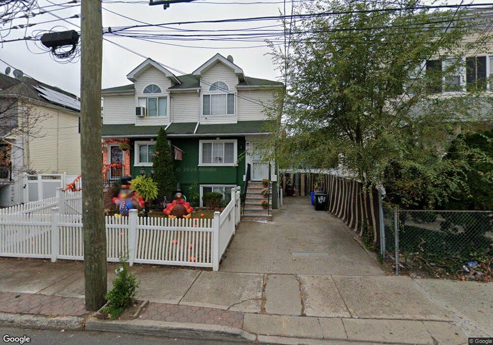
188 Harbor Rd Staten Island, NY 10303
Mariners Harbor NeighborhoodEstimated Value: $598,220
--
Bed
--
Bath
2,175
Sq Ft
$275/Sq Ft
Est. Value
About This Home
This home is located at 188 Harbor Rd, Staten Island, NY 10303 and is currently estimated at $598,220, approximately $275 per square foot. 188 Harbor Rd is a home located in Richmond County with nearby schools including P.S. 44 Thomas C Brown, I.S. 51 Edwin Markham, and Port Richmond High School.
Ownership History
Date
Name
Owned For
Owner Type
Purchase Details
Closed on
Nov 5, 2002
Sold by
Psaab Llc
Bought by
George Albert and George Jennifer
Current Estimated Value
Home Financials for this Owner
Home Financials are based on the most recent Mortgage that was taken out on this home.
Original Mortgage
$228,900
Outstanding Balance
$96,229
Interest Rate
6.07%
Mortgage Type
Commercial
Estimated Equity
$501,991
Purchase Details
Closed on
Mar 21, 2001
Sold by
Rodriguez Nestor and Garcia Victor M
Bought by
Psaab Llc
Create a Home Valuation Report for This Property
The Home Valuation Report is an in-depth analysis detailing your home's value as well as a comparison with similar homes in the area
Home Values in the Area
Average Home Value in this Area
Purchase History
| Date | Buyer | Sale Price | Title Company |
|---|---|---|---|
| George Albert | $239,304 | Stewart Title | |
| Psaab Llc | $140,000 | -- |
Source: Public Records
Mortgage History
| Date | Status | Borrower | Loan Amount |
|---|---|---|---|
| Open | George Albert | $228,900 |
Source: Public Records
Tax History Compared to Growth
Tax History
| Year | Tax Paid | Tax Assessment Tax Assessment Total Assessment is a certain percentage of the fair market value that is determined by local assessors to be the total taxable value of land and additions on the property. | Land | Improvement |
|---|---|---|---|---|
| 2025 | $3,901 | $39,540 | $5,191 | $34,349 |
| 2024 | $2,814 | $32,880 | $5,889 | $26,991 |
| 2023 | $2,576 | $20,822 | $6,328 | $14,494 |
| 2022 | $2,470 | $27,240 | $9,300 | $17,940 |
| 2021 | $3,800 | $23,340 | $9,300 | $14,040 |
| 2020 | $3,597 | $20,280 | $9,300 | $10,980 |
| 2019 | $3,337 | $17,640 | $9,300 | $8,340 |
| 2018 | $3,240 | $17,352 | $7,773 | $9,579 |
| 2017 | $3,211 | $17,220 | $8,187 | $9,033 |
| 2016 | $2,938 | $16,246 | $9,258 | $6,988 |
| 2015 | $2,470 | $15,327 | $8,220 | $7,107 |
| 2014 | $2,470 | $14,460 | $9,300 | $5,160 |
Source: Public Records
Map
Nearby Homes
- 167 Harbor Rd
- 186 Union Ave
- 140 Union Ave
- 138 Union Ave
- 70 Gridley Ave
- 300 Andros Ave Unit A
- 136 Union Ave
- 300A Andros Ave
- 16 Union Ct
- 101 Lockman Ave
- 56 Confederation Place
- 99 Union Ave
- 402 Grandview Ave
- 312 Grandview Ave
- 331 Union Ave
- 42 Union Ave
- 221 South Ave
- 13 Coonley Ct
- 36 Lockman Ave
- 133 Van Pelt Ave
- 190 Harbor Rd Unit 194
- 190-194 Harbor Rd
- 184 Harbor Rd Unit 1
- 184 Harbor Rd Unit 186
- 184-186 Harbor Rd
- 192 Harbor Rd Unit 194
- 192-194 Harbor Rd
- 194 Harbor Rd
- 75 Brabant St
- 75 Brabant St Unit Building
- 196 Harbor Rd
- 79 Brabant St
- 176 Harbor Rd
- 48 Harbor Loop
- 191 Harbor Rd
- 189 Harbor Rd
- 183 Harbor Rd
- 195 Harbor Rd
- 306 Harbor Rd
- 0 Harbor Rd