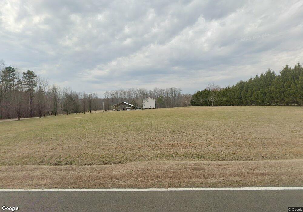
188 Harold Gill Rd Roxboro, NC 27574
Estimated Value: $218,000 - $264,000
2
Beds
1
Bath
1,000
Sq Ft
$241/Sq Ft
Est. Value
About This Home
This home is located at 188 Harold Gill Rd, Roxboro, NC 27574 and is currently estimated at $241,269, approximately $241 per square foot. 188 Harold Gill Rd is a home located in Person County with nearby schools including Person High School.
Ownership History
Date
Name
Owned For
Owner Type
Purchase Details
Closed on
Jan 15, 2021
Sold by
Long Joseph Matthew Clayton and Long Candice Danielle
Bought by
Snead Zachary K
Current Estimated Value
Home Financials for this Owner
Home Financials are based on the most recent Mortgage that was taken out on this home.
Original Mortgage
$142,500
Outstanding Balance
$127,182
Interest Rate
2.71%
Mortgage Type
New Conventional
Estimated Equity
$114,087
Purchase Details
Closed on
Mar 8, 2018
Sold by
Hicks David T and Hicks Elizabeth M
Bought by
Long Joseph Matthew Clayton
Home Financials for this Owner
Home Financials are based on the most recent Mortgage that was taken out on this home.
Original Mortgage
$115,900
Interest Rate
4.32%
Mortgage Type
New Conventional
Purchase Details
Closed on
Mar 20, 2007
Sold by
Carr Edna P and Poole Danny
Bought by
Snead Brenda P
Create a Home Valuation Report for This Property
The Home Valuation Report is an in-depth analysis detailing your home's value as well as a comparison with similar homes in the area
Home Values in the Area
Average Home Value in this Area
Purchase History
| Date | Buyer | Sale Price | Title Company |
|---|---|---|---|
| Snead Zachary K | $150,000 | None Available | |
| Long Joseph Matthew Clayton | $122,000 | None Available | |
| Snead Brenda P | -- | -- |
Source: Public Records
Mortgage History
| Date | Status | Borrower | Loan Amount |
|---|---|---|---|
| Open | Snead Zachary K | $142,500 | |
| Previous Owner | Long Joseph Matthew Clayton | $115,900 |
Source: Public Records
Tax History Compared to Growth
Tax History
| Year | Tax Paid | Tax Assessment Tax Assessment Total Assessment is a certain percentage of the fair market value that is determined by local assessors to be the total taxable value of land and additions on the property. | Land | Improvement |
|---|---|---|---|---|
| 2025 | $1,580 | $234,617 | $0 | $0 |
| 2024 | $1,091 | $140,226 | $0 | $0 |
| 2023 | $1,089 | $139,994 | $0 | $0 |
| 2022 | $1,086 | $139,994 | $0 | $0 |
| 2021 | $1,054 | $139,994 | $0 | $0 |
| 2020 | $819 | $108,507 | $0 | $0 |
| 2019 | $830 | $108,507 | $0 | $0 |
| 2018 | $778 | $108,507 | $0 | $0 |
| 2017 | $753 | $106,359 | $0 | $0 |
| 2016 | $753 | $106,359 | $0 | $0 |
| 2015 | $753 | $106,359 | $0 | $0 |
| 2014 | $753 | $106,359 | $0 | $0 |
Source: Public Records
Map
Nearby Homes
- 1002 Dennys Store Rd
- 670 Tingen Mine Rd
- 204 Deep Woods Trail
- 00 Pulliam-Tingen Mine Rd
- 1 McCoy Jeffers Dr
- 652 Hazel Lawson Rd
- 6708 Old Roxboro Rd
- 1387 Saint Paul Church Rd
- 2201 Mollie Mooney Rd
- 6688 Goshen Rd
- 1806 Polk Huff Rd
- 1060 Saint Paul Church Rd
- 1469 Mollie Mooney Rd
- 153 Ninovan Place
- 0 Old Roxboro Rd Unit 10027603
- 122 Old Surl Rd
- 1923 Lawson Chapel Church Rd
- 771 Cedar Grove Church Rd
- 0 Cedar Grove Church Rd Unit 10077427
- 0 Cedar Grove Church Rd Unit 10075146
- 112 Harold Gill Rd
- 110 Harold Gill Rd
- 95 Harold Gill Rd
- 284 Harold Gill Rd
- 45 Harold Gill Rd
- 217 Harold Gill Rd
- 20 Harold Gill Rd
- 2710 Dennys Store Rd
- 3010 Dennys Store Rd
- 3074 Dennys Store Rd
- 3025 Dennys Store Rd
- 581 Harold Gill Rd
- 686 Harold Gill Rd
- 757 Harold Gill Rd
- 812 Harold Gill Rd
- 1445 Lonnie Gentry Rd
- 002 Dennys Store Rd
- 0 Dennys Store Rd
- 3625 Dennys Store Rd
- 1790 Dennys Store Rd