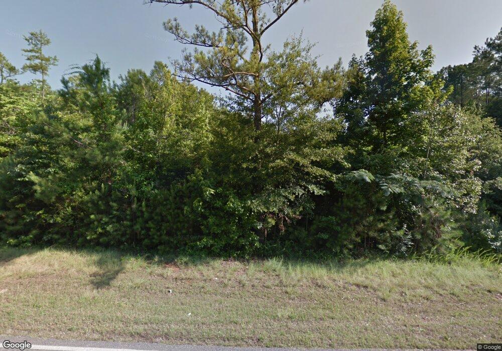
188 Highway 63 Calera, AL 35040
Estimated Value: $245,000 - $287,000
--
Bed
--
Bath
1,551
Sq Ft
$172/Sq Ft
Est. Value
About This Home
This home is located at 188 Highway 63, Calera, AL 35040 and is currently estimated at $266,619, approximately $171 per square foot. 188 Highway 63 is a home with nearby schools including Calera Intermediate School, Calera Elementary School, and Calera Middle School.
Ownership History
Date
Name
Owned For
Owner Type
Purchase Details
Closed on
Dec 2, 2020
Sold by
Moon Hilda
Bought by
Moon Hilda and Sisco Shanon
Current Estimated Value
Purchase Details
Closed on
May 23, 2013
Sold by
Moon Hilda and Moon Cody
Bought by
Ward Wade and Ward Robin
Purchase Details
Closed on
Apr 23, 2008
Sold by
Moon Thomas Howard
Bought by
Moon Tommy and Moon Hilda
Home Financials for this Owner
Home Financials are based on the most recent Mortgage that was taken out on this home.
Original Mortgage
$100,000
Interest Rate
5.86%
Mortgage Type
Unknown
Create a Home Valuation Report for This Property
The Home Valuation Report is an in-depth analysis detailing your home's value as well as a comparison with similar homes in the area
Home Values in the Area
Average Home Value in this Area
Purchase History
| Date | Buyer | Sale Price | Title Company |
|---|---|---|---|
| Moon Hilda | -- | None Available | |
| Ward Wade | $75,000 | None Available | |
| Moon Tommy | $5,000 | None Available |
Source: Public Records
Mortgage History
| Date | Status | Borrower | Loan Amount |
|---|---|---|---|
| Previous Owner | Moon Tommy | $100,000 |
Source: Public Records
Tax History Compared to Growth
Tax History
| Year | Tax Paid | Tax Assessment Tax Assessment Total Assessment is a certain percentage of the fair market value that is determined by local assessors to be the total taxable value of land and additions on the property. | Land | Improvement |
|---|---|---|---|---|
| 2024 | $1,426 | $26,400 | $0 | $0 |
| 2023 | $1,262 | $26,880 | $0 | $0 |
| 2022 | $1,107 | $23,620 | $0 | $0 |
| 2021 | $957 | $20,460 | $0 | $0 |
| 2020 | $1,037 | $19,960 | $0 | $0 |
| 2019 | $1,010 | $19,460 | $0 | $0 |
| 2017 | $801 | $15,600 | $0 | $0 |
| 2015 | $703 | $13,780 | $0 | $0 |
| 2014 | $697 | $13,660 | $0 | $0 |
Source: Public Records
Map
Nearby Homes
- 983 Meriweather Dr
- 1003 Meriweather Dr
- 401 Meriweather Ln
- 1873 19th St
- 1893 Deborah Dr
- 0 19th St Unit 5 21431344
- 518 19th St Unit 7
- 11 and 12 19th St Unit 11 & 12
- 2080 Carson St
- 971 18th St
- 0 16th St Unit 13 21431330
- 0 16th St Unit 12 21431329
- 0 16th St Unit 11 21431327
- 11 Oneal Dr
- 0 17th St Unit 3 21431348
- 616 Klynes Dr
- 604 Klynes Dr
- 608 Klynes Dr
- 612 Klynes Dr
- 620 Klynes Dr
- 184 Highway 63
- 138 Highway 63
- 106 Highway 63
- 106 Highway 63
- 354 Pilgreen Dr
- 314 Highway 63
- 2345 Dry Creek Rd
- 334 Highway 63
- 188 Dry Creek Rd
- 470 Pilgreen Dr
- 490 Pilgreen Dr
- 81 Powerline Rd
- 2440 Dry Creek Rd
- 2404 Dry Creek Rd
- 0 Dry Creek Rd Unit 800757
- 991 Meriweather Dr
- 987 Meriweather Dr
- 2233 Victory Way
- 538 Pilgreen Dr
- 975 Meriweather Dr
