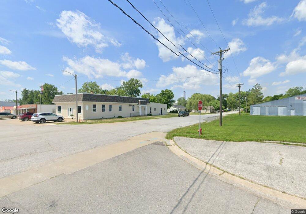
188 Highway A Hawk Point, MO 63349
Estimated Value: $295,121 - $379,000
3
Beds
1
Bath
1,848
Sq Ft
$191/Sq Ft
Est. Value
About This Home
This home is located at 188 Highway A, Hawk Point, MO 63349 and is currently estimated at $353,030, approximately $191 per square foot. 188 Highway A is a home located in Lincoln County with nearby schools including Hawk Point Elementary School, Troy Middle School, and Troy Buchanan High School.
Create a Home Valuation Report for This Property
The Home Valuation Report is an in-depth analysis detailing your home's value as well as a comparison with similar homes in the area
Tax History
| Year | Tax Paid | Tax Assessment Tax Assessment Total Assessment is a certain percentage of the fair market value that is determined by local assessors to be the total taxable value of land and additions on the property. | Land | Improvement |
|---|---|---|---|---|
| 2025 | $1,916 | $32,988 | $2,812 | $30,176 |
| 2024 | $1,885 | $30,555 | $2,660 | $27,895 |
| 2023 | $1,876 | $30,890 | $2,660 | $28,230 |
| 2022 | $1,781 | $29,221 | $2,660 | $26,561 |
| 2021 | $1,790 | $151,482 | $0 | $0 |
| 2020 | $1,551 | $133,355 | $0 | $0 |
| 2019 | $1,553 | $133,355 | $0 | $0 |
| 2018 | $1,439 | $23,562 | $0 | $0 |
| 2017 | $1,444 | $23,562 | $0 | $0 |
| 2016 | $1,292 | $20,653 | $0 | $0 |
| 2015 | $1,296 | $20,653 | $0 | $0 |
| 2014 | $1,312 | $20,887 | $0 | $0 |
| 2013 | -- | $20,887 | $0 | $0 |
Source: Public Records
Map
Nearby Homes
- 4 Ashley Ln
- 415 Walnut St
- 140 Turkey Creek Crossing Dr
- 339 White Rd
- 346 Bethel Rd
- 8 Summers Breeze Ct
- 2 Country Ridge Trail
- 804 Timber Creek Ct
- 401 Deep Forest Dr
- 20 Chinkapin Ct
- 113 Bridlespur Ct
- 64 Mocking Bird Ln
- 300 Shumard Oak Dr
- 0 Cedar Circle Ln Unit MIS25071955
- 45 Blue Line Ln
- 39024 Winter St
- 6.09 State Highway A
- 762 Cave Farm Rd
- 38569 Canelos Farm Rd
- 456 Westridge Dr
Your Personal Tour Guide
Ask me questions while you tour the home.