188 Lake Sherburne Rd Waterboro, ME 04087
Waterboro NeighborhoodEstimated Value: $519,000 - $720,151
3
Beds
4
Baths
1,365
Sq Ft
$429/Sq Ft
Est. Value
About This Home
This home is located at 188 Lake Sherburne Rd, Waterboro, ME 04087 and is currently estimated at $586,038, approximately $429 per square foot. 188 Lake Sherburne Rd is a home with nearby schools including Massabesic High School.
Ownership History
Date
Name
Owned For
Owner Type
Purchase Details
Closed on
Dec 16, 2014
Sold by
Stackpole Robert E and Stackpole Ernestine A
Bought by
Laffin Timothy and Laffin Jasmine
Current Estimated Value
Home Financials for this Owner
Home Financials are based on the most recent Mortgage that was taken out on this home.
Original Mortgage
$10,000
Outstanding Balance
$7,677
Interest Rate
3.98%
Mortgage Type
New Conventional
Estimated Equity
$578,361
Create a Home Valuation Report for This Property
The Home Valuation Report is an in-depth analysis detailing your home's value as well as a comparison with similar homes in the area
Home Values in the Area
Average Home Value in this Area
Purchase History
| Date | Buyer | Sale Price | Title Company |
|---|---|---|---|
| Laffin Timothy | -- | -- | |
| Laffin Timothy | -- | -- |
Source: Public Records
Mortgage History
| Date | Status | Borrower | Loan Amount |
|---|---|---|---|
| Open | Laffin Timothy | $10,000 | |
| Closed | Laffin Timothy | $10,000 |
Source: Public Records
Tax History Compared to Growth
Tax History
| Year | Tax Paid | Tax Assessment Tax Assessment Total Assessment is a certain percentage of the fair market value that is determined by local assessors to be the total taxable value of land and additions on the property. | Land | Improvement |
|---|---|---|---|---|
| 2024 | $4,721 | $610,900 | $247,500 | $363,400 |
| 2023 | $5,792 | $438,800 | $164,200 | $274,600 |
| 2022 | $5,474 | $391,000 | $146,500 | $244,500 |
| 2021 | $5,323 | $353,700 | $133,200 | $220,500 |
| 2020 | $4,963 | $322,500 | $122,100 | $200,400 |
| 2019 | $4,792 | $311,400 | $111,000 | $200,400 |
| 2018 | $540 | $33,300 | $33,300 | $0 |
| 2017 | $514 | $33,300 | $33,300 | $0 |
| 2016 | $507 | $33,300 | $33,300 | $0 |
| 2015 | $859 | $61,600 | $61,600 | $0 |
| 2014 | $862 | $61,600 | $61,600 | $0 |
| 2013 | $840 | $61,600 | $61,600 | $0 |
Source: Public Records
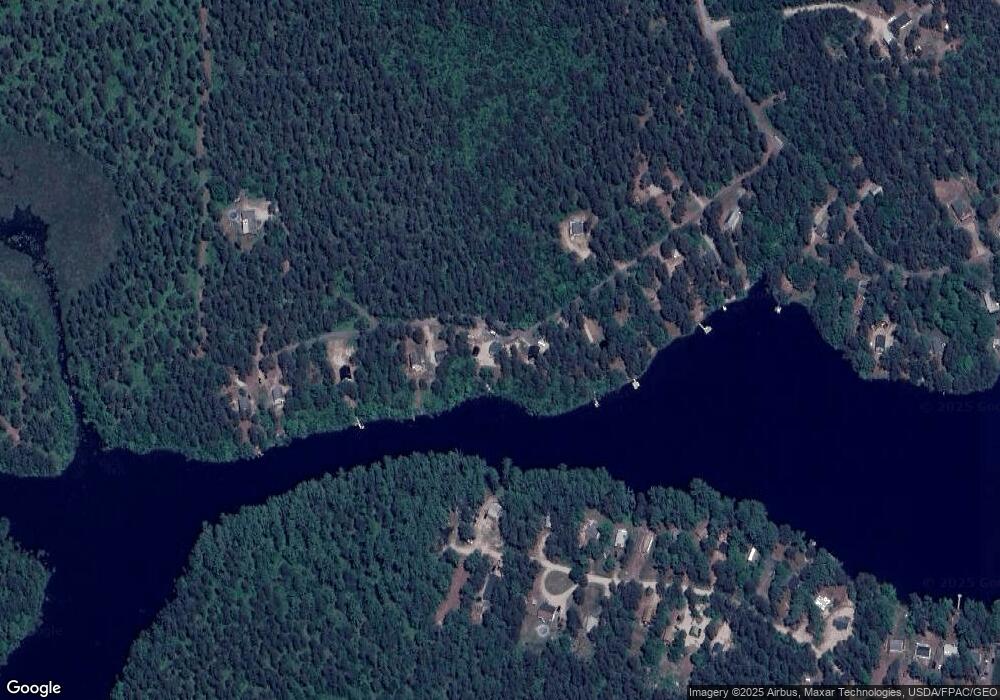
Map
Nearby Homes
- 52 Long Causeway
- 32 Northeast Rd
- 1310 West Rd
- 69 Bernier Ln
- 350 Pine Springs Rd
- 205 Blueberry Rd
- 255 Ross Corner Rd
- Lot 14 Milk Rd
- 585 Newfield Rd
- 30 Swan Cir
- 48A Blueberry Rd
- 1304 Middle Rd
- 9 Restful Way
- 471 Owls Nest Rd
- M13L30 Clarks Bridge Rd
- 282 Granny Kent Pond Rd
- Lot 35A Norton Ridge Rd
- 152 Hanson Rd
- 92 Perch
- 5 Clarks Bridge Rd
- 206 Lake Sherburne Rd
- 194 Lake Sherburne Rd
- TBD Lake Shurburn
- 186 Lake Sherburne Rd
- TBD Lake Sherburne
- 174 Lake Sherburne Rd
- 166 Lake Sherburne Rd
- 169 Lake Sherburne Rd
- 172 Lake Sherburne Rd
- 170 Lake Sherburne Rd
- 208 Lake Sherburne
- 91 Long Cause Way
- 214 Lake Sherburne Rd
- 83 Long Causeway
- 164 Lake Sherburne Rd
- 82 Long Causeway
- 218 Lake Sherburne Rd
- 0 Lot 213 Long Causeway
- 215 Lake Sherburne Rd
- 62 Long Causeway