188 Locke Hill Rd Starks, ME 04911
Estimated Value: $176,000 - $390,000
--
Bed
--
Bath
--
Sq Ft
25
Acres
About This Home
This home is located at 188 Locke Hill Rd, Starks, ME 04911 and is currently estimated at $254,468. 188 Locke Hill Rd is a home with nearby schools including Madison Area Memorial High School.
Ownership History
Date
Name
Owned For
Owner Type
Purchase Details
Closed on
Apr 3, 2020
Sold by
Lemay Trapper C and Lemay Carlene A
Bought by
Lemay Trapper C and Lemay Heather M
Current Estimated Value
Home Financials for this Owner
Home Financials are based on the most recent Mortgage that was taken out on this home.
Original Mortgage
$176,800
Outstanding Balance
$156,025
Interest Rate
3.2%
Mortgage Type
Stand Alone Refi Refinance Of Original Loan
Estimated Equity
$98,443
Purchase Details
Closed on
Dec 14, 2006
Sold by
Keaney Patrick G
Bought by
Lemay Trapper C and Lemay Carlene A
Create a Home Valuation Report for This Property
The Home Valuation Report is an in-depth analysis detailing your home's value as well as a comparison with similar homes in the area
Home Values in the Area
Average Home Value in this Area
Purchase History
| Date | Buyer | Sale Price | Title Company |
|---|---|---|---|
| Lemay Trapper C | -- | None Available | |
| Lemay Trapper C | -- | None Available | |
| Lemay Trapper C | -- | -- | |
| Lemay Trapper C | -- | -- |
Source: Public Records
Mortgage History
| Date | Status | Borrower | Loan Amount |
|---|---|---|---|
| Open | Lemay Trapper C | $176,800 | |
| Closed | Lemay Trapper C | $176,800 |
Source: Public Records
Tax History Compared to Growth
Tax History
| Year | Tax Paid | Tax Assessment Tax Assessment Total Assessment is a certain percentage of the fair market value that is determined by local assessors to be the total taxable value of land and additions on the property. | Land | Improvement |
|---|---|---|---|---|
| 2024 | $2,773 | $192,560 | $29,640 | $162,920 |
| 2023 | $2,686 | $192,560 | $29,640 | $162,920 |
| 2022 | $2,446 | $192,560 | $29,640 | $162,920 |
| 2021 | $2,659 | $192,560 | $29,640 | $162,920 |
| 2020 | $3,033 | $192,560 | $29,640 | $162,920 |
| 2019 | $2,993 | $160,470 | $24,700 | $135,770 |
| 2018 | $2,824 | $160,470 | $24,700 | $135,770 |
| 2017 | $2,688 | $160,470 | $24,700 | $135,770 |
| 2016 | $2,508 | $128,614 | $20,000 | $108,614 |
Source: Public Records
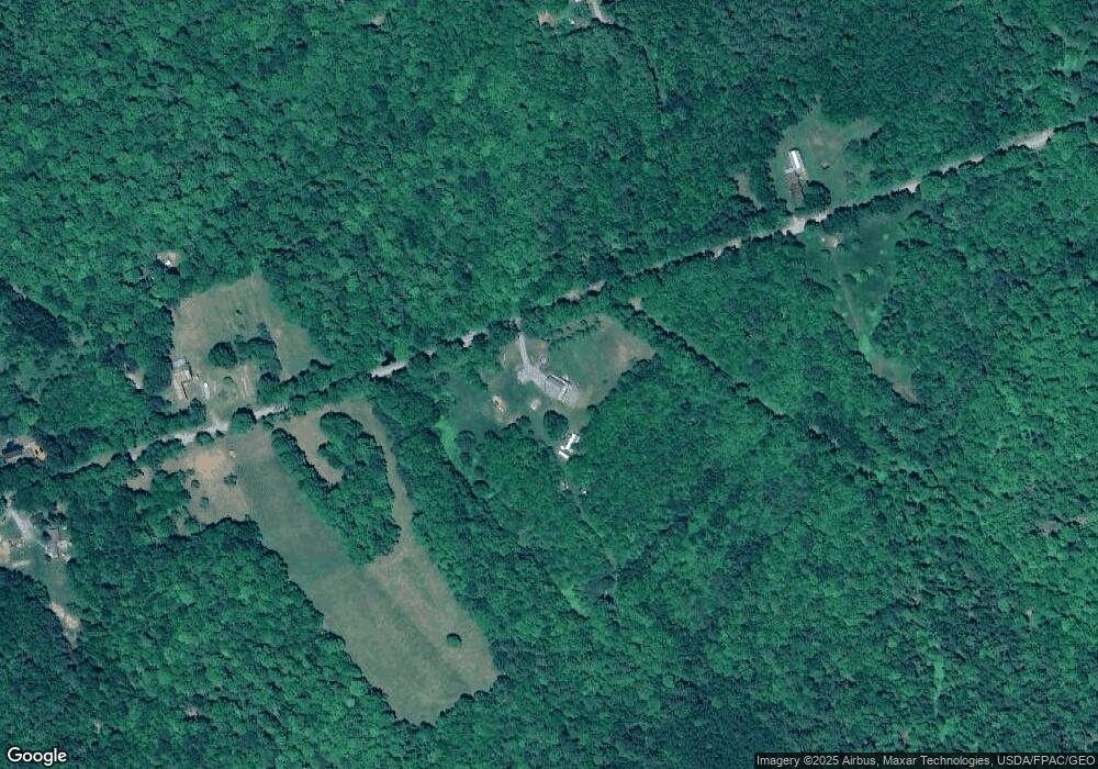
Map
Nearby Homes
- 2679 Industry Rd
- 0 Poor Farm Rd Unit 1637355
- 17 Anson Rd
- 257 Sawyers Mills Rd
- 137 Butterfield Rd
- 510 Branns Mill Rd
- 8 Magnolia Ln
- 1.3 Mayhew Rd
- map6 lot1 Mayhew Rd
- Map6 lot2 Mayhew Rd
- 331 Beans Corner Rd
- Lot 005 Greenwood Brook Rd
- 0000 Kimball Schoolhouse Rd
- R1 37B O'Dell Rd
- 735 Sandy River Rd
- Lot 59&60 Starks Rd
- 23 Heald Rd
- 257 Sandy River Rd
- 120 Savage Rd
- 965 Industry Rd
- 171 Locke Hill Rd
- 185 Locke Hill Rd
- 258 Locke Hill Rd
- 255 Locke Hill Rd
- 36 Jacob Ln
- 132 Locke Hill Rd
- 131 Locke Hill Rd
- 115 Locke Hill Rd
- 277 Locke Hill Rd
- 53 Jacob Ln
- 300 Locke Hill Rd
- 2566 Industry Rd
- 45 Abijah Hill Rd
- 24 Abijah Hill Rd
- 29 Abijah Hill Rd
- 56 Jacob Ln
- 35 Locke Hill Rd
- 29 Locke Hill Rd
- 0 Route 43 Unit 861290
- 0 Route 43 Unit 861285