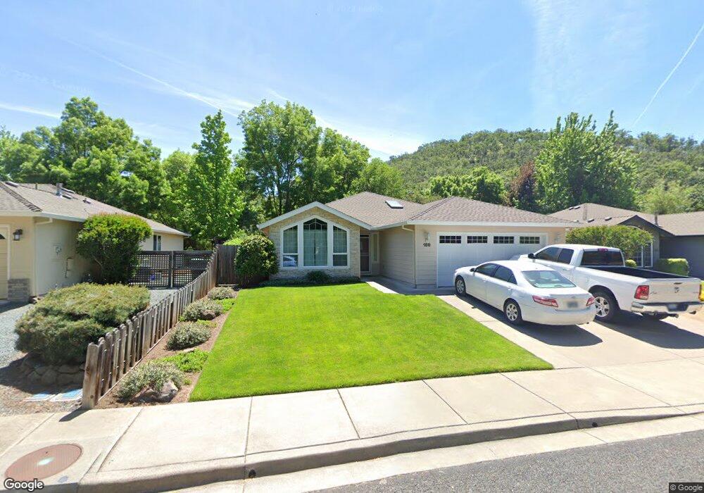
188 Meadow View Dr Phoenix, OR 97535
Estimated Value: $405,000 - $427,000
3
Beds
2
Baths
1,520
Sq Ft
$273/Sq Ft
Est. Value
About This Home
This home is located at 188 Meadow View Dr, Phoenix, OR 97535 and is currently estimated at $414,822, approximately $272 per square foot. 188 Meadow View Dr is a home located in Jackson County with nearby schools including Orchard Hill Elementary School, Talent Middle School, and Phoenix High School.
Ownership History
Date
Name
Owned For
Owner Type
Purchase Details
Closed on
Jan 21, 1998
Sold by
Pactrend Inc
Bought by
Nelson Thomas A and Nelson Tawney L
Current Estimated Value
Home Financials for this Owner
Home Financials are based on the most recent Mortgage that was taken out on this home.
Original Mortgage
$122,550
Outstanding Balance
$19,138
Interest Rate
7.13%
Estimated Equity
$395,684
Create a Home Valuation Report for This Property
The Home Valuation Report is an in-depth analysis detailing your home's value as well as a comparison with similar homes in the area
Home Values in the Area
Average Home Value in this Area
Purchase History
| Date | Buyer | Sale Price | Title Company |
|---|---|---|---|
| Nelson Thomas A | $129,000 | Jackson County Title | |
| Pactrend Inc | $42,900 | Jackson County Title |
Source: Public Records
Mortgage History
| Date | Status | Borrower | Loan Amount |
|---|---|---|---|
| Open | Nelson Thomas A | $122,550 |
Source: Public Records
Tax History
| Year | Tax Paid | Tax Assessment Tax Assessment Total Assessment is a certain percentage of the fair market value that is determined by local assessors to be the total taxable value of land and additions on the property. | Land | Improvement |
|---|---|---|---|---|
| 2026 | $4,356 | $273,130 | -- | -- |
| 2025 | $4,252 | $265,180 | $88,160 | $177,020 |
| 2024 | $4,252 | $257,460 | $85,590 | $171,870 |
| 2023 | $4,119 | $249,970 | $83,100 | $166,870 |
| 2022 | $4,010 | $249,970 | $83,100 | $166,870 |
| 2021 | $3,914 | $242,690 | $80,680 | $162,010 |
| 2020 | $3,791 | $235,630 | $78,330 | $157,300 |
| 2019 | $3,690 | $222,110 | $73,830 | $148,280 |
| 2018 | $3,582 | $215,650 | $71,680 | $143,970 |
| 2017 | $3,384 | $215,650 | $71,680 | $143,970 |
| 2016 | $3,293 | $203,280 | $67,570 | $135,710 |
| 2015 | $3,164 | $203,280 | $78,960 | $124,320 |
| 2014 | $3,045 | $191,620 | $74,430 | $117,190 |
Source: Public Records
Map
Nearby Homes
- 160 Meadow View Dr
- 88 Mountain View Dr
- 108 Meadow View Dr
- 4127 Fern Valley Rd
- 300 Luman Rd Unit 200
- 3459 S Pacific Hwy
- 111 E 1st St
- 4601 S Pacific Hwy Unit 8
- 510 N Main St
- 600 N Main St
- 4729 S Pacific Hwy Unit 4
- 4729 S Pacific Hwy Unit 16
- 4729 S Pacific Hwy Unit 24
- 301 N Church St
- 610 N Main St Unit 5A
- 401 Elm St
- 612 N Main St
- 130 Sharon Dr
- 4624 S Pacific Hwy Unit 61
- 4624 S Pacific Hwy Unit 40
- 184 Meadow View Dr
- 192 Meadow View Dr
- 196 Meadow View Dr
- 180 Meadow View Dr
- 200 Meadow View Dr
- 176 Meadow View Dr
- 108 Vail Ct
- 204 Meadow View Dr
- 172 Meadow View Dr
- 153 Meadow View Dr
- 172 Meadowview Dr
- 112 Vail Ct
- 104 Vail Ct
- 149 Meadow View Dr
- 208 Meadow View Dr
- 168 Meadow View Dr
- 145 Meadow View Dr
- 212 Meadow View Dr
- 120 Freshwater Dr
- 120 Freshwater Dr
Your Personal Tour Guide
Ask me questions while you tour the home.