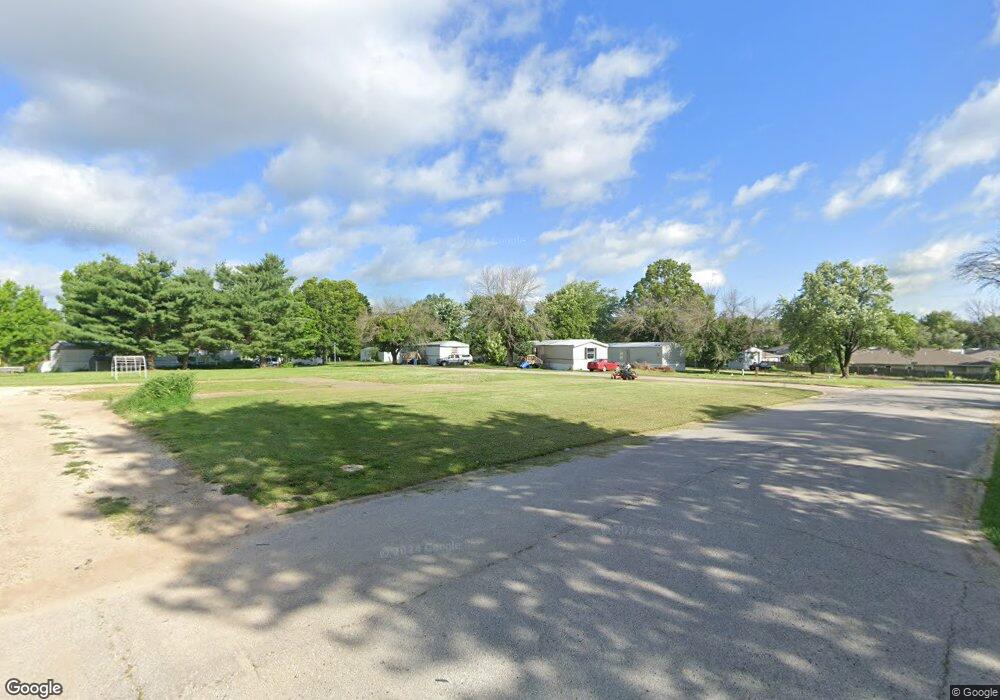
188 N Summit Dr Holts Summit, MO 65043
Estimated Value: $74,000 - $276,000
Studio
--
Bath
--
Sq Ft
23
Acres
About This Home
This home is located at 188 N Summit Dr, Holts Summit, MO 65043 and is currently estimated at $188,000. 188 N Summit Dr is a home located in Callaway County with nearby schools including Callaway Hills Elementary School, Lewis & Clark Middle School, and Jefferson City High School.
Ownership History
Date
Name
Owned For
Owner Type
Purchase Details
Closed on
Aug 10, 2022
Sold by
188 North Summit Llc
Bought by
Seges Mhp Llc
Current Estimated Value
Home Financials for this Owner
Home Financials are based on the most recent Mortgage that was taken out on this home.
Original Mortgage
$1,700,000
Outstanding Balance
$1,616,424
Interest Rate
5.51%
Mortgage Type
New Conventional
Estimated Equity
-$1,428,424
Purchase Details
Closed on
Jul 21, 2017
Sold by
Seges Partners Mobile Home Park Llc
Bought by
188 North Summit Llc
Create a Home Valuation Report for This Property
The Home Valuation Report is an in-depth analysis detailing your home's value as well as a comparison with similar homes in the area
Home Values in the Area
Average Home Value in this Area
Purchase History
| Date | Buyer | Sale Price | Title Company |
|---|---|---|---|
| Seges Mhp Llc | -- | None Listed On Document | |
| 188 North Summit Llc | -- | None Available |
Source: Public Records
Mortgage History
| Date | Status | Borrower | Loan Amount |
|---|---|---|---|
| Open | Seges Mhp Llc | $1,700,000 |
Source: Public Records
Tax History
| Year | Tax Paid | Tax Assessment Tax Assessment Total Assessment is a certain percentage of the fair market value that is determined by local assessors to be the total taxable value of land and additions on the property. | Land | Improvement |
|---|---|---|---|---|
| 2025 | $1,280 | $21,058 | $0 | $0 |
| 2024 | $1,280 | $21,058 | $0 | $0 |
| 2023 | $1,313 | $20,583 | $0 | $0 |
| 2022 | $1,283 | $20,583 | $18,597 | $1,986 |
| 2021 | $1,274 | $20,583 | $18,597 | $1,986 |
| 2020 | $1,291 | $20,583 | $18,597 | $1,986 |
| 2019 | $1,238 | $20,583 | $18,597 | $1,986 |
| 2018 | $1,359 | $11,285 | $9,299 | $1,986 |
| 2017 | $1,342 | $22,552 | $9,299 | $13,253 |
| 2016 | $1,151 | $22,560 | $0 | $0 |
| 2015 | $1,152 | $22,560 | $0 | $0 |
| 2014 | $1,178 | $22,560 | $0 | $0 |
Source: Public Records
Map
Nearby Homes
- 188 N Summit Dr
- 185 Rylee Cir
- 195 Rylee Cir
- 175 Rylee Cir
- 175 Brookstone Dr
- 185 Brookstone Dr
- 195 Brookstone Dr
- 165 Rylee Cir
- 138 N Summit Dr
- 205 Brookstone Dr
- 165 Brookstone Dr
- 175 Rief Ct
- 215 Brookstone Dr
- 160 Rief Ct
- 225 Brookstone Dr
- 155 Rylee Cir
- 235 Brookstone Dr
- 172 & 174 W Simon Blvd
- 162 W Simon Blvd
- 165 Rief Ct
Your Personal Tour Guide
Ask me questions while you tour the home.