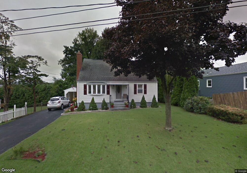
188 Pershing Ave New Britain, CT 06053
Estimated Value: $267,278 - $335,000
2
Beds
1
Bath
884
Sq Ft
$326/Sq Ft
Est. Value
About This Home
This home is located at 188 Pershing Ave, New Britain, CT 06053 and is currently estimated at $287,820, approximately $325 per square foot. 188 Pershing Ave is a home located in Hartford County with nearby schools including Gaffney School and Slade Middle School.
Ownership History
Date
Name
Owned For
Owner Type
Purchase Details
Closed on
Jun 20, 1991
Sold by
Lisowsi Margaret Est
Bought by
Sachs Raynmond
Current Estimated Value
Home Financials for this Owner
Home Financials are based on the most recent Mortgage that was taken out on this home.
Original Mortgage
$80,800
Interest Rate
9.25%
Mortgage Type
Unknown
Create a Home Valuation Report for This Property
The Home Valuation Report is an in-depth analysis detailing your home's value as well as a comparison with similar homes in the area
Home Values in the Area
Average Home Value in this Area
Purchase History
| Date | Buyer | Sale Price | Title Company |
|---|---|---|---|
| Sachs Raynmond | $101,000 | -- |
Source: Public Records
Mortgage History
| Date | Status | Borrower | Loan Amount |
|---|---|---|---|
| Open | Sachs Raynmond | $20,000 | |
| Closed | Sachs Raynmond | $60,000 | |
| Closed | Sachs Raynmond | $83,000 | |
| Closed | Sachs Raynmond | $80,800 |
Source: Public Records
Tax History
| Year | Tax Paid | Tax Assessment Tax Assessment Total Assessment is a certain percentage of the fair market value that is determined by local assessors to be the total taxable value of land and additions on the property. | Land | Improvement |
|---|---|---|---|---|
| 2025 | $5,151 | $131,460 | $50,050 | $81,410 |
| 2024 | $5,205 | $131,460 | $50,050 | $81,410 |
| 2023 | $5,032 | $131,460 | $50,050 | $81,410 |
| 2022 | $4,338 | $87,640 | $23,030 | $64,610 |
| 2021 | $4,338 | $87,640 | $23,030 | $64,610 |
| 2020 | $4,426 | $87,640 | $23,030 | $64,610 |
| 2019 | $4,426 | $87,640 | $23,030 | $64,610 |
| 2018 | $4,426 | $87,640 | $23,030 | $64,610 |
| 2017 | $4,270 | $84,560 | $19,250 | $65,310 |
| 2016 | $4,270 | $84,560 | $19,250 | $65,310 |
| 2015 | $4,143 | $84,560 | $19,250 | $65,310 |
| 2014 | $4,143 | $84,560 | $19,250 | $65,310 |
Source: Public Records
Map
Nearby Homes
- 130 Hillhurst Ave
- 140 Hillhurst Ave
- 115 Pinehurst Ave
- 144 Hillhurst Ave
- 185 Pershing Ave
- 121 Pinehurst Ave
- 121 Pinehurst Ave Unit Second Floor
- 121 Pinehurst Ave Unit 2nd flr
- 150 Hillhurst Ave
- 116 Hillhurst Ave
- 93 Pinehurst Ave
- 127 Pinehurst Ave
- 206 Pershing Ave
- 154 Hillhurst Ave
- 141 Hillhurst Ave
- 133 Pinehurst Ave
- 160 Hillhurst Ave
- 108 Hillhurst Ave
- 157 Pershing Ave
- 158 Pershing Ave