188 Pierces Point Rd Windsor, ME 04363
Estimated Value: $356,053 - $452,000
4
Beds
2
Baths
--
Sq Ft
3
Acres
About This Home
This home is located at 188 Pierces Point Rd, Windsor, ME 04363 and is currently estimated at $400,513. 188 Pierces Point Rd is a home with nearby schools including Windsor Elementary School.
Ownership History
Date
Name
Owned For
Owner Type
Purchase Details
Closed on
Dec 21, 2016
Sold by
Finne Sherry F
Bought by
Finne Sherry F and Finne Kenneth C
Current Estimated Value
Purchase Details
Closed on
Jul 5, 2006
Sold by
Stamand Debra A and Stamand Mark A
Bought by
Finne Sherry F and Finne Kenneth C
Home Financials for this Owner
Home Financials are based on the most recent Mortgage that was taken out on this home.
Original Mortgage
$228,000
Outstanding Balance
$134,270
Interest Rate
6.6%
Mortgage Type
Commercial
Estimated Equity
$266,243
Create a Home Valuation Report for This Property
The Home Valuation Report is an in-depth analysis detailing your home's value as well as a comparison with similar homes in the area
Home Values in the Area
Average Home Value in this Area
Purchase History
| Date | Buyer | Sale Price | Title Company |
|---|---|---|---|
| Finne Sherry F | -- | -- | |
| Finne Sherry F | -- | -- | |
| Finne Sherry F | -- | -- | |
| Finne Sherry F | -- | -- | |
| Finne Sherry F | -- | -- |
Source: Public Records
Mortgage History
| Date | Status | Borrower | Loan Amount |
|---|---|---|---|
| Open | Finne Sherry F | $228,000 | |
| Closed | Finne Sherry F | $228,000 |
Source: Public Records
Tax History Compared to Growth
Tax History
| Year | Tax Paid | Tax Assessment Tax Assessment Total Assessment is a certain percentage of the fair market value that is determined by local assessors to be the total taxable value of land and additions on the property. | Land | Improvement |
|---|---|---|---|---|
| 2024 | $3,254 | $353,700 | $38,200 | $315,500 |
| 2023 | $2,925 | $201,700 | $20,000 | $181,700 |
| 2022 | $2,763 | $201,700 | $20,000 | $181,700 |
| 2021 | $2,622 | $201,700 | $20,000 | $181,700 |
| 2020 | $2,582 | $201,700 | $20,000 | $181,700 |
| 2019 | $2,562 | $201,700 | $20,000 | $181,700 |
| 2018 | $2,602 | $201,700 | $20,000 | $181,700 |
| 2017 | $2,582 | $201,700 | $20,000 | $181,700 |
| 2016 | $2,562 | $201,700 | $20,000 | $181,700 |
| 2015 | $2,400 | $201,700 | $20,000 | $181,700 |
| 2014 | $2,622 | $201,700 | $20,000 | $181,700 |
| 2013 | $2,662 | $201,700 | $20,000 | $181,700 |
Source: Public Records
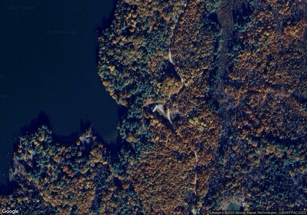
Map
Nearby Homes
- 282 Pierces Point Rd
- 158 Park Ln
- 102 Park Ln
- 14 King Rd
- 19 King Rd
- 16 Lamson Rd
- 140 Ingraham Rd
- 263 Rockwood Dr
- 169 Park Ln
- 170 Rockwood Dr
- 368 Windsor Rd
- 125 Park Ln
- 57 Arnold Rd
- 0 Park Ln Unit 1630167
- 29 Mudget Hill Rd
- M9 L59 N Belfast Ave
- 1650 N Belfast Ave
- 332 Stone Rd
- 146 Lone Indian Trail
- Lot 38-D Choate Rd
- 44 Allen Rd
- 6 Jackson Rd
- 33 Pierces Point Rd
- 14 Pierces Point Rd
- 21 Cyr Rd
- 17 Cyr Rd
- 11 Jackson Rd
- 0 Lot A&b Pierce's Point Rd Unit 1479692
- 0 Lot B Pierce's Point Rd Unit 1479683
- 0 Lot A Pierce's Point Rd Unit 1479690
- 439 Pierce's Point Rd
- 439 Pierces Point Rd
- 455 Pierces Point Rd
- 439 Pierces Point Rd
- 302 Pierces Point Rd
- 283 Pierces Point Rd
- 516 Pierces Point Rd
- 22 E Point Dr
- 10 E Point Dr
- 45 Allen Rd