188 R C Jones Rd Franklin, GA 30217
Estimated Value: $285,000 - $375,000
3
Beds
2
Baths
1,296
Sq Ft
$255/Sq Ft
Est. Value
About This Home
This home is located at 188 R C Jones Rd, Franklin, GA 30217 and is currently estimated at $330,585, approximately $255 per square foot. 188 R C Jones Rd is a home located in Heard County with nearby schools including Heard County High School.
Ownership History
Date
Name
Owned For
Owner Type
Purchase Details
Closed on
Dec 2, 2019
Sold by
Cameron Robert E
Bought by
Cameron Robert E and Cameron Sandra J
Current Estimated Value
Purchase Details
Closed on
Nov 29, 2005
Sold by
Mason Candace Michelle Ros
Bought by
Cameron Robert E
Home Financials for this Owner
Home Financials are based on the most recent Mortgage that was taken out on this home.
Original Mortgage
$116,700
Interest Rate
6.23%
Mortgage Type
FHA
Purchase Details
Closed on
Jan 29, 1993
Sold by
Jones Jones L and Jones Martha
Bought by
Jones L C
Purchase Details
Closed on
Jul 27, 1974
Bought by
Jones Jones L and Jones Martha
Create a Home Valuation Report for This Property
The Home Valuation Report is an in-depth analysis detailing your home's value as well as a comparison with similar homes in the area
Home Values in the Area
Average Home Value in this Area
Purchase History
| Date | Buyer | Sale Price | Title Company |
|---|---|---|---|
| Cameron Robert E | -- | -- | |
| Cameron Robert E | $145,000 | -- | |
| Jones L C | -- | -- | |
| Jones Jones L | -- | -- |
Source: Public Records
Mortgage History
| Date | Status | Borrower | Loan Amount |
|---|---|---|---|
| Previous Owner | Cameron Robert E | $116,700 |
Source: Public Records
Tax History Compared to Growth
Tax History
| Year | Tax Paid | Tax Assessment Tax Assessment Total Assessment is a certain percentage of the fair market value that is determined by local assessors to be the total taxable value of land and additions on the property. | Land | Improvement |
|---|---|---|---|---|
| 2024 | $1,344 | $83,608 | $18,365 | $65,243 |
| 2023 | $1,201 | $74,460 | $15,304 | $59,156 |
| 2022 | $984 | $64,086 | $8,229 | $55,857 |
| 2021 | $1,146 | $54,166 | $8,229 | $45,937 |
| 2020 | $1,133 | $53,052 | $8,229 | $44,823 |
| 2019 | $1,133 | $53,052 | $8,229 | $44,823 |
| 2018 | $1,201 | $53,052 | $8,229 | $44,823 |
| 2017 | $1,114 | $51,315 | $8,286 | $43,029 |
| 2016 | $1,160 | $51,383 | $8,286 | $43,097 |
| 2015 | -- | $44,637 | $12,778 | $31,860 |
| 2014 | -- | $44,640 | $12,778 | $31,862 |
| 2013 | -- | $50,352 | $12,777 | $37,574 |
Source: Public Records
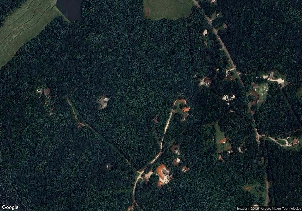
Map
Nearby Homes
- 244 Brush Creek Park Rd
- 39 Brush Creek Park Rd
- 92 Holliday Rd
- TR 4 15.976 AC Pike Rd
- TR 5 19.018 AC Pike Rd
- 3939 Bevis Rd
- Tr 4 Unit 15.976 ac Pike Roa
- Tr 5 Unit 19.018 ac Pike Roa
- 307 Willis Dick Rd
- 0 Dr Fisher Rd Unit 10583815
- 1221 US Highway 27
- 45+/- Ac Noles Rd
- 51+/- Ac Noles Rd
- 0 Bevis Rd Parcel 7 Unit 10559612
- 51+/- AC Noles Rd
- 45+/- AC Noles Rd
- 00 Tuscan Hills Rd
- 0 Tuscan Hills Rd Unit 10641286
- 915 Pea Ridge Rd
- 4 Grayson Point
- R R C Jones Rd
- 249 R C Jones Rd
- 129 R C Jones Rd
- 4072 S River Rd
- 4016 S River Rd
- 324 R C Jones Rd
- 3944 S River Rd
- 3940 S River Rd
- 3839 S River Rd
- 4242 S River Rd
- 500 R C Jones Rd
- 328 R C Jones Rd
- 4079 S River Rd
- 3767 S River Rd
- 4314 S River Rd
- 3667 S River Rd
- 4445 S River Rd
- 3539 S River Rd
- 3554 S River Rd
- 3411 S River Rd