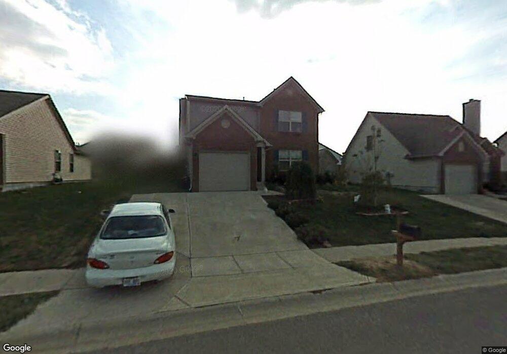
188 Ransom Trace Unit 3A Georgetown, KY 40324
Bradford Place NeighborhoodEstimated Value: $294,000 - $310,000
3
Beds
3
Baths
1,693
Sq Ft
$177/Sq Ft
Est. Value
About This Home
This home is located at 188 Ransom Trace Unit 3A, Georgetown, KY 40324 and is currently estimated at $300,432, approximately $177 per square foot. 188 Ransom Trace Unit 3A is a home located in Scott County with nearby schools including Southern Elementary School, Georgetown Middle School, and Scott County High School.
Ownership History
Date
Name
Owned For
Owner Type
Purchase Details
Closed on
Sep 19, 2017
Sold by
M&T Bank
Bought by
Mcdaniel Connie Michelle
Current Estimated Value
Purchase Details
Closed on
Apr 28, 2011
Sold by
Crupper Keith and Crupper Lisa
Bought by
Allen Danny W
Home Financials for this Owner
Home Financials are based on the most recent Mortgage that was taken out on this home.
Original Mortgage
$120,856
Interest Rate
5.25%
Mortgage Type
FHA
Purchase Details
Closed on
Jun 25, 2010
Sold by
Ferguson Katie A
Bought by
Crupper Keith and Crupper Lisa
Home Financials for this Owner
Home Financials are based on the most recent Mortgage that was taken out on this home.
Original Mortgage
$77,600
Interest Rate
4.79%
Mortgage Type
Purchase Money Mortgage
Create a Home Valuation Report for This Property
The Home Valuation Report is an in-depth analysis detailing your home's value as well as a comparison with similar homes in the area
Home Values in the Area
Average Home Value in this Area
Purchase History
| Date | Buyer | Sale Price | Title Company |
|---|---|---|---|
| Mcdaniel Connie Michelle | $105,000 | Attorney | |
| Allen Danny W | $124,000 | Freibert Title Group Llc | |
| Crupper Keith | $132,585 | None Available |
Source: Public Records
Mortgage History
| Date | Status | Borrower | Loan Amount |
|---|---|---|---|
| Previous Owner | Allen Danny W | $120,856 | |
| Previous Owner | Crupper Keith | $77,600 |
Source: Public Records
Tax History
| Year | Tax Paid | Tax Assessment Tax Assessment Total Assessment is a certain percentage of the fair market value that is determined by local assessors to be the total taxable value of land and additions on the property. | Land | Improvement |
|---|---|---|---|---|
| 2025 | $2,093 | $235,000 | $0 | $0 |
| 2024 | $2,058 | $228,800 | $0 | $0 |
| 2023 | $1,984 | $218,800 | $35,000 | $183,800 |
| 2022 | $1,616 | $190,100 | $30,000 | $160,100 |
| 2021 | $1,647 | $174,800 | $30,000 | $144,800 |
| 2020 | $1,415 | $164,700 | $30,000 | $134,700 |
| 2019 | $1,382 | $158,300 | $0 | $0 |
| 2018 | $1,337 | $154,100 | $0 | $0 |
| 2017 | $1,292 | $148,120 | $0 | $0 |
| 2016 | $1,165 | $144,738 | $0 | $0 |
| 2015 | $1,111 | $138,900 | $0 | $0 |
| 2014 | $1,110 | $133,860 | $0 | $0 |
| 2011 | $83 | $133,860 | $0 | $0 |
Source: Public Records
Map
Nearby Homes
- 115 Victor Place
- 113 Walden Cove Unit 3I
- 106 Ransom Trace
- 232 W Showalter Dr
- 106 Somerset Cove
- 251 W Showalter Dr
- 512 Pocahontas Trail
- 100 Hemingway Ct
- 264 W Showalter Dr
- 118 Chamberlain Dr
- 106 Capella Way
- 108 Pinwheel Ct
- 110 Capella Way
- 164 Stapleton Way
- 140 Magellan Ln
- 144 Magellan Ln
- 152 Magellan Ln
- 1026 Parkside Dr
- 105 Crescent Way
- 111 Crescent Way
- 190 Ransom Trace
- 186 Ransom Trace
- 109 Irving Ln
- 111 Irving Ln
- 107 Irving Ln
- 184 Ransom Trace
- 192 Ransom Trace
- 187 Ransom Trace
- 189 Ransom Trace
- 113 Irving Ln
- 105 Irving Ln
- 182 Ransom Trace Unit 3A
- 191 Ransom Trace
- 115 Irving Ln Unit 3A
- 183 Ransom Trace
- 194 Ransom Trace
- 180 Ransom Trace
- 103 Irving Ln
- 181 Ransom Trace
- 106 Irving Ln
Your Personal Tour Guide
Ask me questions while you tour the home.