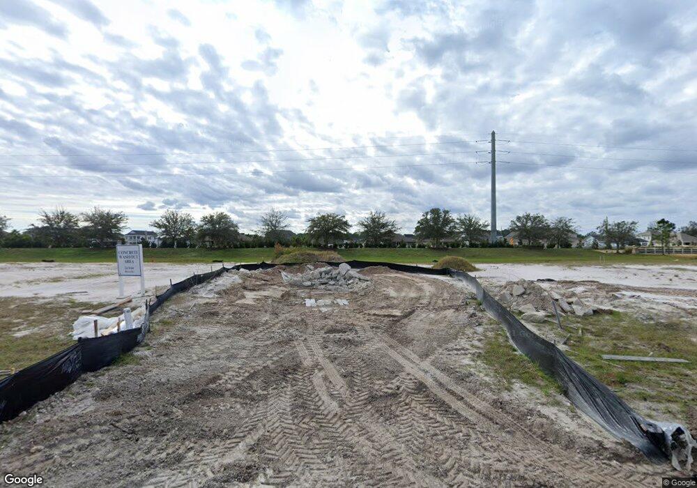
188 Rock Spring Loop St. Augustine, FL 32095
Estimated Value: $356,811 - $383,000
2
Beds
2
Baths
1,547
Sq Ft
$236/Sq Ft
Est. Value
About This Home
This home is located at 188 Rock Spring Loop, St. Augustine, FL 32095 and is currently estimated at $364,953, approximately $235 per square foot. 188 Rock Spring Loop is a home located in St. Johns County with nearby schools including Mill Creek Academy and Palencia Montessori Academy.
Ownership History
Date
Name
Owned For
Owner Type
Purchase Details
Closed on
Feb 2, 2024
Sold by
Elliott Michael R and Elliott Rebecca Fay
Bought by
Dishun Gary J and Dishun Sherlene L
Current Estimated Value
Home Financials for this Owner
Home Financials are based on the most recent Mortgage that was taken out on this home.
Original Mortgage
$2,450,000
Outstanding Balance
$2,406,703
Interest Rate
6.61%
Mortgage Type
New Conventional
Estimated Equity
-$2,041,750
Purchase Details
Closed on
Oct 8, 2021
Sold by
Pulte Home Company Llc
Bought by
Elliott Michael R and Elliott Rebecca Fay
Home Financials for this Owner
Home Financials are based on the most recent Mortgage that was taken out on this home.
Original Mortgage
$215,992
Interest Rate
2.8%
Mortgage Type
VA
Create a Home Valuation Report for This Property
The Home Valuation Report is an in-depth analysis detailing your home's value as well as a comparison with similar homes in the area
Purchase History
| Date | Buyer | Sale Price | Title Company |
|---|---|---|---|
| Dishun Gary J | $350,000 | Landmark Title | |
| Dishun Gary J | $350,000 | Landmark Title | |
| Elliott Michael R | $270,000 | Pgp Title |
Source: Public Records
Mortgage History
| Date | Status | Borrower | Loan Amount |
|---|---|---|---|
| Open | Dishun Gary J | $2,450,000 | |
| Closed | Dishun Gary J | $2,450,000 | |
| Previous Owner | Elliott Michael R | $215,992 |
Source: Public Records
Tax History
| Year | Tax Paid | Tax Assessment Tax Assessment Total Assessment is a certain percentage of the fair market value that is determined by local assessors to be the total taxable value of land and additions on the property. | Land | Improvement |
|---|---|---|---|---|
| 2025 | $6,155 | $307,784 | $70,000 | $237,784 |
| 2024 | $6,155 | $292,004 | -- | -- |
| 2023 | $6,155 | $283,499 | $0 | $0 |
| 2022 | $5,938 | $275,242 | $0 | $0 |
| 2021 | $3,341 | $50,000 | $0 | $0 |
| 2020 | $3,349 | $50,000 | $0 | $0 |
| 2019 | $3,236 | $50,000 | $0 | $0 |
| 2018 | $3,221 | $50,000 | $0 | $0 |
| 2017 | $1,257 | $26,000 | $26,000 | $0 |
Source: Public Records
Map
Nearby Homes
- 212 Rock Spring Loop
- 258 Rock Spring Loop
- 82 Bent Lake Ct
- 45 Bluejack Ln
- 112 Bridge Oak Ln
- 183 Fremont Ave
- 219 Bluejack Ln
- 132 Yellowfin Dr
- 0 Hortons Trace Unit 2098094
- 208 River Mist Dr
- 228 River Mist Dr
- 68 Ash Breeze Cove
- 76 Artist Oaks Ct
- 307 Kirkside Ave
- 203 Westcott Pkwy
- 123 Blind Oak Cir
- 39 Blind Oak Cir
- 375 Kirkside Ave
- 363 Latrobe Ave
- 144 Blind Oak Cir
- 192 Rock Spring Loop
- 182 Rock Spring Loop
- 200 Rock Spring Loop
- 178 Rock Spring Loop
- 174 Rock Spring Loop
- 170 Rock Spring Loop
- 165 Rock Spring Loop
- 220 Rock Spring Loop
- 226 Rock Spring Loop
- 199 Rock Spring Loop
- 166 Rock Spring Loop
- 205 Rock Spring Loop
- 213 Rock Spring Loop
- 232 Rock Spring Loop
- 162 Rock Spring Loop
- 219 Rock Spring Loop
- 238 Rock Spring Loop
- 225 Rock Spring Loop
- 154 Rock Spring Loop
- 233 Rock Spring Loop
