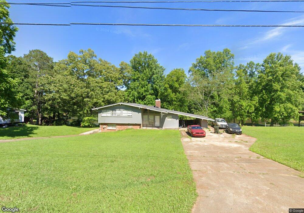
188 Ruby Dr Huntsville, AL 35811
Moores Mill NeighborhoodEstimated Value: $245,000 - $310,000
Studio
--
Bath
1,248
Sq Ft
$215/Sq Ft
Est. Value
About This Home
This home is located at 188 Ruby Dr, Huntsville, AL 35811 and is currently estimated at $268,469, approximately $215 per square foot. 188 Ruby Dr is a home with nearby schools including Mt Carmel Elementary School, Riverton Intermediate School, and Buckhorn Middle School.
Ownership History
Date
Name
Owned For
Owner Type
Purchase Details
Closed on
Jul 24, 2007
Sold by
Deutsch Bank National Trust Co
Bought by
Rogers Paul
Current Estimated Value
Home Financials for this Owner
Home Financials are based on the most recent Mortgage that was taken out on this home.
Original Mortgage
$91,815
Outstanding Balance
$57,745
Interest Rate
6.71%
Mortgage Type
FHA
Estimated Equity
$210,724
Purchase Details
Closed on
Nov 27, 2006
Sold by
Martin Juanita Bilbro and Edwards Tolbert R
Bought by
Deutsche Bank National Trust Co
Create a Home Valuation Report for This Property
The Home Valuation Report is an in-depth analysis detailing your home's value as well as a comparison with similar homes in the area
Home Values in the Area
Average Home Value in this Area
Purchase History
| Date | Buyer | Sale Price | Title Company |
|---|---|---|---|
| Rogers Paul | -- | -- | |
| Deutsche Bank National Trust Co | $132,797 | -- |
Source: Public Records
Mortgage History
| Date | Status | Borrower | Loan Amount |
|---|---|---|---|
| Open | Rogers Paul | $91,815 |
Source: Public Records
Tax History
| Year | Tax Paid | Tax Assessment Tax Assessment Total Assessment is a certain percentage of the fair market value that is determined by local assessors to be the total taxable value of land and additions on the property. | Land | Improvement |
|---|---|---|---|---|
| 2025 | $539 | $16,140 | $640 | $15,500 |
| 2024 | $539 | $15,740 | $640 | $15,100 |
| 2023 | $525 | $15,320 | $640 | $14,680 |
| 2022 | $450 | $13,700 | $640 | $13,060 |
| 2021 | $399 | $12,300 | $640 | $11,660 |
| 2020 | $370 | $11,480 | $630 | $10,850 |
| 2019 | $355 | $11,070 | $630 | $10,440 |
| 2018 | $325 | $10,260 | $0 | $0 |
| 2017 | $325 | $10,260 | $0 | $0 |
| 2016 | $325 | $10,260 | $0 | $0 |
| 2015 | $325 | $10,260 | $0 | $0 |
| 2014 | $321 | $10,160 | $0 | $0 |
Source: Public Records
Map
Nearby Homes
- 185 Little Lones Rd
- 388 Broad Row St
- 212 Lookout Point Rd
- 214 Lookout Point Rd
- 392 Broad Row St
- 390 Broad Row St
- 391 Broad Row St
- 393 Broad Row St
- 200 Crane Hollow Ln
- 202 Crane Hollow Ln
- 204 Crane Hollow Ln
- 203 Crane Hollow Ln
- 205 Crane Hollow Ln
- 207 Crane Hollow Ln
- 220 Crane Hollow Ln
- 222 Crane Hollow Ln
- 398 Little Lones Rd
- 413 Broad Row St
- 415 Broad Row St
- 600 Broad Row St Unit 600
Your Personal Tour Guide
Ask me questions while you tour the home.