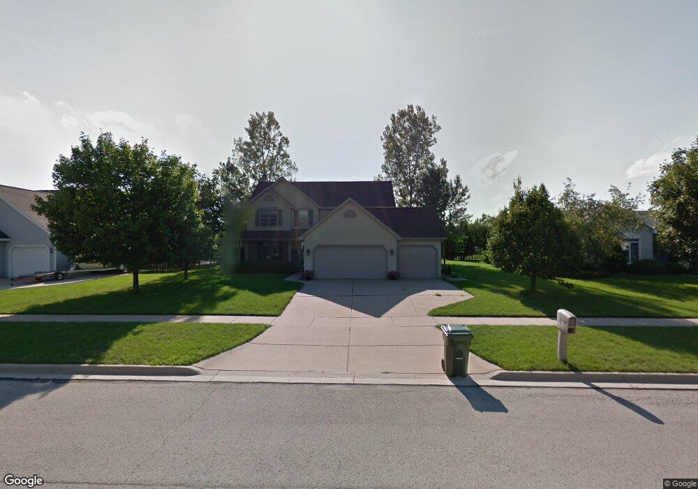
188 Sullivan Ln de Pere, WI 54115
Estimated Value: $412,751 - $467,000
6
Beds
6
Baths
3,076
Sq Ft
$145/Sq Ft
Est. Value
About This Home
This home is located at 188 Sullivan Ln, de Pere, WI 54115 and is currently estimated at $446,688, approximately $145 per square foot. 188 Sullivan Ln is a home located in Brown County with nearby schools including Dickinson Elementary School, De Pere Middle School, and Foxview Intermediate School.
Ownership History
Date
Name
Owned For
Owner Type
Purchase Details
Closed on
Apr 27, 2005
Sold by
Maricque Craig W and Legois Maricque Lisa A
Bought by
Dewsnap Christopher A and Dewsnap Roberta A
Current Estimated Value
Home Financials for this Owner
Home Financials are based on the most recent Mortgage that was taken out on this home.
Original Mortgage
$177,500
Outstanding Balance
$90,636
Interest Rate
6.13%
Mortgage Type
Fannie Mae Freddie Mac
Estimated Equity
$356,052
Create a Home Valuation Report for This Property
The Home Valuation Report is an in-depth analysis detailing your home's value as well as a comparison with similar homes in the area
Home Values in the Area
Average Home Value in this Area
Purchase History
| Date | Buyer | Sale Price | Title Company |
|---|---|---|---|
| Dewsnap Christopher A | $202,500 | Liberty Title |
Source: Public Records
Mortgage History
| Date | Status | Borrower | Loan Amount |
|---|---|---|---|
| Open | Dewsnap Christopher A | $177,500 |
Source: Public Records
Tax History
| Year | Tax Paid | Tax Assessment Tax Assessment Total Assessment is a certain percentage of the fair market value that is determined by local assessors to be the total taxable value of land and additions on the property. | Land | Improvement |
|---|---|---|---|---|
| 2025 | $5,300 | $378,200 | $45,100 | $333,100 |
| 2024 | $5,062 | $357,500 | $43,000 | $314,500 |
| 2023 | $4,301 | $317,000 | $43,000 | $274,000 |
| 2022 | $4,059 | $284,100 | $43,000 | $241,100 |
| 2021 | $3,838 | $254,500 | $35,900 | $218,600 |
| 2020 | $3,932 | $238,000 | $42,000 | $196,000 |
| 2019 | $4,142 | $229,800 | $42,000 | $187,800 |
| 2018 | $4,210 | $212,700 | $42,000 | $170,700 |
| 2017 | $4,337 | $212,700 | $42,000 | $170,700 |
| 2016 | $4,405 | $212,700 | $42,000 | $170,700 |
| 2015 | $4,504 | $208,600 | $42,000 | $166,600 |
| 2014 | $4,467 | $208,600 | $42,000 | $166,600 |
| 2013 | $4,467 | $208,600 | $42,000 | $166,600 |
Source: Public Records
Map
Nearby Homes
- 1960 Charles St
- 124 Shelley Ln
- 253 Desplaine Rd Unit 255
- 1955 W Baraboo Cir
- 118 E River Dr Unit 120
- 654 W Rock River Cir
- 657 Black Earth Dr
- 658 Black Earth Dr
- 804 Longview Ave
- 253 Scout Way
- 553 Gwynn St
- 1871 Ledgeview Rd
- 1941 Horseshoe Ln
- 1861 Chicago St
- 3642 Glenbrooke Ln
- 1421 Ridgeway Dr Unit 1423
- 318 S Webster Ave
- 115 S Washington St
- 1326 S Summer Range Rd
- 414 Custer Ct
Your Personal Tour Guide
Ask me questions while you tour the home.