188 Truckers Ln Burnsville, NC 28714
Estimated Value: $246,889 - $372,000
1
Bed
1
Bath
960
Sq Ft
$313/Sq Ft
Est. Value
About This Home
This home is located at 188 Truckers Ln, Burnsville, NC 28714 and is currently estimated at $300,722, approximately $313 per square foot. 188 Truckers Ln is a home located in Yancey County with nearby schools including Mountain Heritage High School.
Ownership History
Date
Name
Owned For
Owner Type
Purchase Details
Closed on
Feb 19, 2020
Sold by
Banks Charles B
Bought by
Banks Irnene and Banks Charles B
Current Estimated Value
Purchase Details
Closed on
Jun 11, 2019
Sold by
Banks Irene and Banks Charles
Bought by
Banks Charles B
Purchase Details
Closed on
Aug 23, 2013
Sold by
Fox Joyce and Fox Anthony
Bought by
Banks Irene and Banks Charles
Purchase Details
Closed on
Feb 22, 2011
Sold by
Banks Frank and Banks Shelba
Bought by
Banks Charles and Banks Judy
Create a Home Valuation Report for This Property
The Home Valuation Report is an in-depth analysis detailing your home's value as well as a comparison with similar homes in the area
Home Values in the Area
Average Home Value in this Area
Purchase History
| Date | Buyer | Sale Price | Title Company |
|---|---|---|---|
| Banks Irnene | -- | None Available | |
| Banks Charles B | -- | -- | |
| Banks Irene | -- | None Available | |
| Banks Charles | -- | None Available |
Source: Public Records
Tax History Compared to Growth
Tax History
| Year | Tax Paid | Tax Assessment Tax Assessment Total Assessment is a certain percentage of the fair market value that is determined by local assessors to be the total taxable value of land and additions on the property. | Land | Improvement |
|---|---|---|---|---|
| 2025 | $965 | $172,300 | $75,800 | $96,500 |
| 2024 | $965 | $172,300 | $75,800 | $96,500 |
| 2023 | $491 | $76,680 | $25,000 | $51,680 |
| 2022 | $481 | $76,680 | $25,000 | $51,680 |
| 2021 | $491 | $76,680 | $25,000 | $51,680 |
| 2020 | $491 | $76,680 | $25,000 | $51,680 |
| 2019 | $552 | $86,180 | $30,000 | $56,180 |
| 2018 | $552 | $86,180 | $30,000 | $56,180 |
| 2017 | $552 | $86,180 | $30,000 | $56,180 |
| 2016 | $552 | $86,180 | $30,000 | $56,180 |
| 2015 | $503 | $93,070 | $37,500 | $55,570 |
| 2014 | $503 | $93,070 | $37,500 | $55,570 |
Source: Public Records
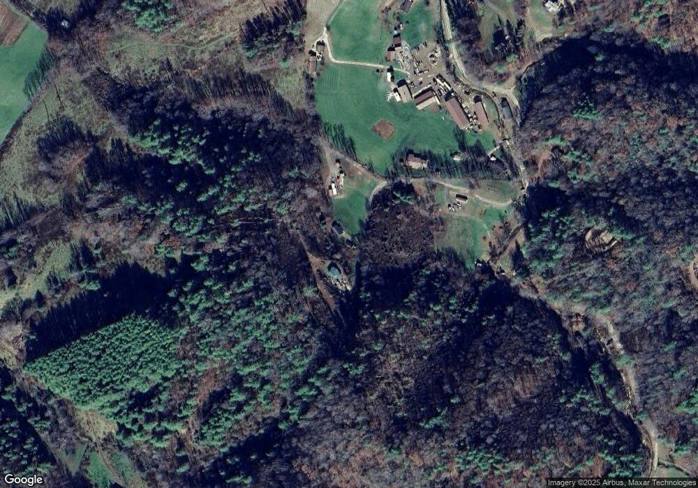
Map
Nearby Homes
- 00 Prices Creek Rd
- 71 Banks Creek Rd
- TBD Banks Creek Rd
- 456 Maney Branch Rd
- 000 Maney Branch Rd
- 456 & 000 Maney Branch Rd
- 300 Dogwood Ln
- 124 W Dogwood Cir
- 124 Shootout Ln
- 000 Mountain Air Dr
- 00 Riverside Hills Rd Unit 9
- 9999 River Edge Dr Unit 2
- 81 River Look Dr
- 117 River Look Dr
- LOT 13 Austin Mountain Dr Unit 13/3
- 456 Spring House Dr
- 222 Creekside Way Unit D-101
- 222 Creekside Way Unit D-102
- 47 Creekside Way Unit H/102
- 47 Creekside Way Unit H/301
- 234 Truckers Ln
- 88 Cottonwood Rd
- 133 Husky Ln
- 11 Truckers Ln
- 27 Cottonwood Rd
- 404 Banks Creek Rd
- 531 Banks Creek Rd
- 28 Silver Maple Ln
- 311 Banks Creek Rd Unit 3
- 728 Banks Creek Rd
- 309 Banks Creek Rd
- 307 Banks Creek Rd
- 96 Silver Maple Ln
- 278 Banks Creek Rd
- 249 Banks Creek Rd
- 241 Banks Creek Rd
- 301 Husky Ln
- 771 Banks Creek Rd
- 379 Banks Creek Rd
- 61 Trout Water Cir