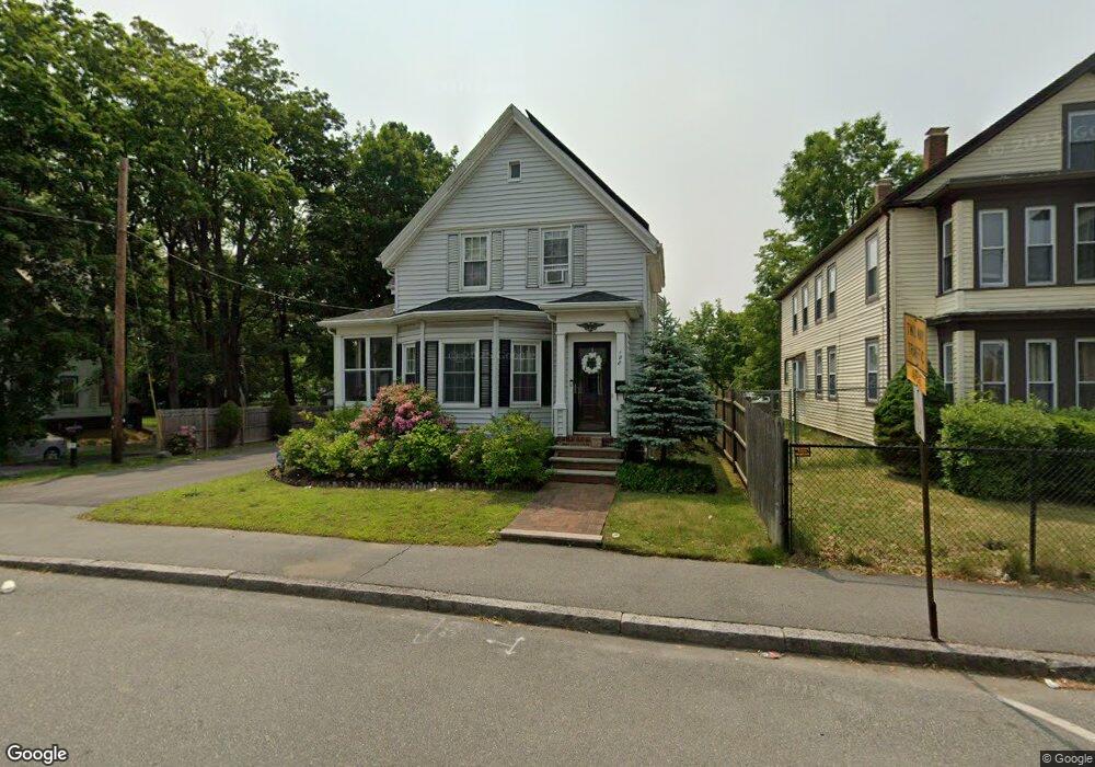
188 W Chestnut St Brockton, MA 02301
Clifton Heights NeighborhoodEstimated Value: $510,496 - $527,000
3
Beds
1
Bath
1,389
Sq Ft
$375/Sq Ft
Est. Value
About This Home
This home is located at 188 W Chestnut St, Brockton, MA 02301 and is currently estimated at $520,374, approximately $374 per square foot. 188 W Chestnut St is a home located in Plymouth County with nearby schools including John F. Kennedy Elementary School, Davis K-8 School, and South Middle School.
Ownership History
Date
Name
Owned For
Owner Type
Purchase Details
Closed on
Jun 28, 2013
Sold by
Lowe Gregory A and Vaughn Sharol F
Bought by
Vaughn Sharol F
Current Estimated Value
Purchase Details
Closed on
Sep 1, 1987
Sold by
Benvie Thomas M
Bought by
Seropian David H
Create a Home Valuation Report for This Property
The Home Valuation Report is an in-depth analysis detailing your home's value as well as a comparison with similar homes in the area
Home Values in the Area
Average Home Value in this Area
Purchase History
| Date | Buyer | Sale Price | Title Company |
|---|---|---|---|
| Vaughn Sharol F | -- | -- | |
| Seropian David H | $145,000 | -- |
Source: Public Records
Mortgage History
| Date | Status | Borrower | Loan Amount |
|---|---|---|---|
| Previous Owner | Seropian David H | $222,750 | |
| Previous Owner | Seropian David H | $74,250 | |
| Previous Owner | Seropian David H | $222,400 |
Source: Public Records
Tax History Compared to Growth
Tax History
| Year | Tax Paid | Tax Assessment Tax Assessment Total Assessment is a certain percentage of the fair market value that is determined by local assessors to be the total taxable value of land and additions on the property. | Land | Improvement |
|---|---|---|---|---|
| 2025 | $5,864 | $484,200 | $138,600 | $345,600 |
| 2024 | $5,509 | $458,300 | $138,600 | $319,700 |
| 2023 | $5,570 | $429,100 | $103,200 | $325,900 |
| 2022 | $5,019 | $359,300 | $93,700 | $265,600 |
| 2021 | $6,019 | $332,700 | $77,700 | $255,000 |
| 2020 | $4,251 | $280,600 | $73,000 | $207,600 |
| 2019 | $5,955 | $267,400 | $71,000 | $196,400 |
| 2018 | $4,110 | $237,500 | $71,000 | $166,500 |
| 2017 | $3,679 | $228,500 | $71,000 | $157,500 |
| 2016 | $3,272 | $188,500 | $68,800 | $119,700 |
| 2015 | $3,260 | $179,600 | $68,800 | $110,800 |
| 2014 | $3,327 | $183,500 | $68,800 | $114,700 |
Source: Public Records
Map
Nearby Homes
- 115 Leach Ave
- 115 Market St
- 137 Channing Ave
- 57 Copeland St
- 65 Tremont St
- 977 Warren Ave
- 58 Calmar St
- 153 Bouve Ave
- 37 Menlo Ave
- 176 Ettrick St
- 936 Warren Ave
- 20 Custer St
- 15 1st St
- 115 Ettrick St
- 184 Myrtle St
- 47 Southworth St
- 61 Myrtle St
- 223 Clinton St Unit 10
- 223 Clinton St Unit 3
- 56 Cottage Grove Ave
- 194 W Chestnut St
- 14 Donald St
- 172 W Chestnut St
- 18 Donald St
- 187 W Chestnut St
- 191 W Chestnut St
- 168 W Chestnut St
- 11 Donald St
- 15 Donald St
- 181 W Chestnut St
- 200 W Chestnut St
- 178 W Chestnut St
- 22 Donald St
- 197 W Chestnut St
- 166 W Chestnut St
- 166 W Chestnut St Unit 1
- 167 W Chestnut St
- 21 Donald St
- 26 Donald St
- 16 Marion Ave