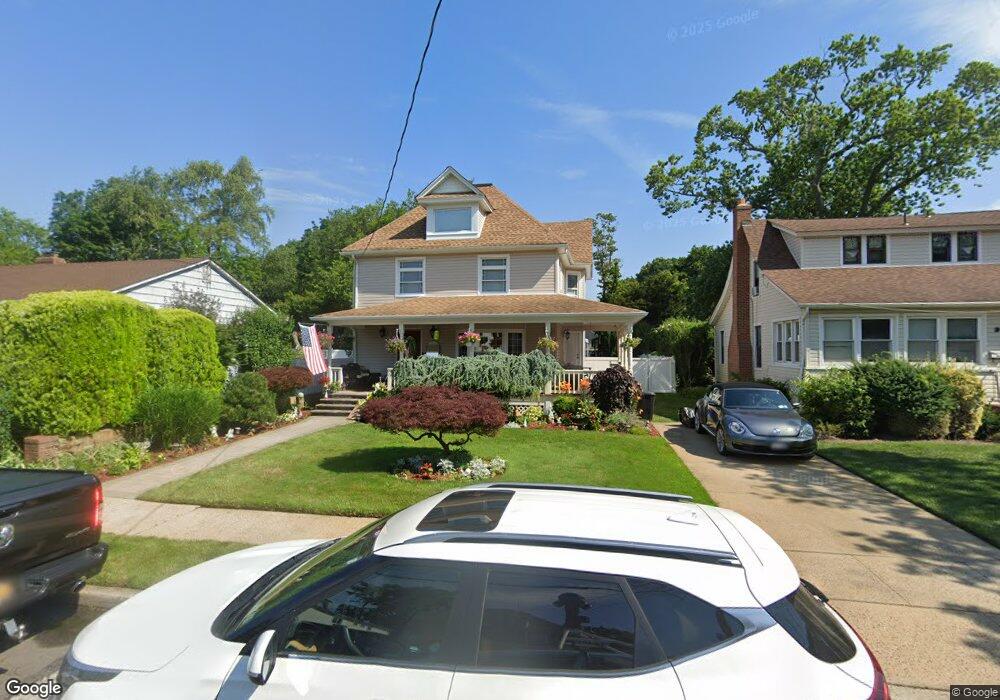
188 Whaley St Freeport, NY 11520
Estimated Value: $681,000 - $741,000
4
Beds
2
Baths
2,066
Sq Ft
$346/Sq Ft
Est. Value
About This Home
This home is located at 188 Whaley St, Freeport, NY 11520 and is currently estimated at $713,955, approximately $345 per square foot. 188 Whaley St is a home located in Nassau County with nearby schools including Columbus Avenue School, Caroline G. Atkinson Intermediate School, and John W Dodd Middle School.
Ownership History
Date
Name
Owned For
Owner Type
Purchase Details
Closed on
Jun 24, 2022
Sold by
Smith Jarrod A
Bought by
Smith Jarrod A and Licari Melody M
Current Estimated Value
Purchase Details
Closed on
Jun 21, 2012
Sold by
Federal National Mortgage Association
Bought by
Smith Jarrod A
Home Financials for this Owner
Home Financials are based on the most recent Mortgage that was taken out on this home.
Original Mortgage
$319,495
Interest Rate
3.7%
Mortgage Type
New Conventional
Purchase Details
Closed on
Mar 28, 2000
Create a Home Valuation Report for This Property
The Home Valuation Report is an in-depth analysis detailing your home's value as well as a comparison with similar homes in the area
Home Values in the Area
Average Home Value in this Area
Purchase History
We collect this data history from publicly available records. To have your information removed, we recommend requesting removal directly through your county’s website.
| Date | Buyer | Sale Price | Title Company |
|---|---|---|---|
| Smith Jarrod A | -- | Advantage Title | |
| Smith Jarrod A | $209,000 | -- | |
| -- | $200,340 | -- |
Source: Public Records
Mortgage History
We collect this data history from publicly available records. To have your information removed, we recommend requesting removal directly through your county’s website.
| Date | Status | Borrower | Loan Amount |
|---|---|---|---|
| Previous Owner | Smith Jarrod A | $319,495 |
Source: Public Records
Tax History
| Year | Tax Paid | Tax Assessment Tax Assessment Total Assessment is a certain percentage of the fair market value that is determined by local assessors to be the total taxable value of land and additions on the property. | Land | Improvement |
|---|---|---|---|---|
| 2025 | $8,893 | $458 | $172 | $286 |
| 2024 | $998 | $470 | $177 | $293 |
| 2023 | $7,931 | $466 | $177 | $289 |
| 2022 | $7,931 | $445 | $177 | $268 |
| 2021 | $10,042 | $420 | $170 | $250 |
| 2020 | $5,898 | $397 | $396 | $1 |
| 2019 | $4,504 | $397 | $396 | $1 |
| 2018 | $4,312 | $397 | $0 | $0 |
| 2017 | $3,378 | $397 | $396 | $1 |
| 2016 | $3,974 | $397 | $200 | $197 |
| 2015 | $574 | $397 | $200 | $197 |
| 2014 | $574 | $397 | $200 | $197 |
| 2013 | $1,141 | $836 | $422 | $414 |
Source: Public Records
Map
Nearby Homes
- 135 Whaley St
- 320 S Bayview Ave
- 311 Locust Ave
- 6 Elliott Place
- 158 Roosevelt Ave
- 222 Smith St Unit 4F
- 222 Smith St Unit 2E
- 222 Smith St Unit 3C
- 250 W Merrick Rd Unit 1 E
- 250 W Merrick Rd Unit 2R
- 250 W Merrick Rd Unit 2 L
- 250 W Merrick Rd Unit 2F
- 311 Park Ave
- 254 Park Ave
- 194 Smith St Unit 3P
- 194 Smith St Unit 3 E
- 403 S Bayview Ave
- 24 Whaley St
- 149 Smith St Unit e-22
- 175 Archer St Unit 3E
Your Personal Tour Guide
Ask me questions while you tour the home.