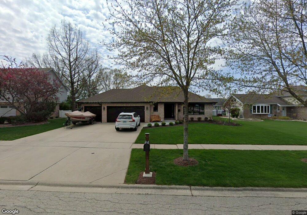
1880 Cambridge Ln New Lenox, IL 60451
Estimated Value: $466,081 - $488,000
3
Beds
3
Baths
2,000
Sq Ft
$238/Sq Ft
Est. Value
About This Home
This home is located at 1880 Cambridge Ln, New Lenox, IL 60451 and is currently estimated at $476,020, approximately $238 per square foot. 1880 Cambridge Ln is a home located in Will County with nearby schools including Spencer Trail, Spencer Crossing Intermediate School, and Spencer Pointe.
Ownership History
Date
Name
Owned For
Owner Type
Purchase Details
Closed on
Jul 17, 2020
Sold by
Marchio Michael E
Bought by
Marchio Michael E and Marchio Michael E
Current Estimated Value
Purchase Details
Closed on
Oct 27, 2017
Sold by
Springer Geraldine R and Raymond H Springer Trust
Bought by
Marchio Michael E
Purchase Details
Closed on
Apr 4, 2005
Sold by
Springer Raymond H and Springer Geraldine R
Bought by
Springer Raymond H and Springer Geraldine R
Purchase Details
Closed on
Dec 14, 1993
Sold by
Nlsb
Bought by
Springer Raymond H and Springer Geraldine R
Home Financials for this Owner
Home Financials are based on the most recent Mortgage that was taken out on this home.
Original Mortgage
$80,000
Interest Rate
7.25%
Create a Home Valuation Report for This Property
The Home Valuation Report is an in-depth analysis detailing your home's value as well as a comparison with similar homes in the area
Home Values in the Area
Average Home Value in this Area
Purchase History
| Date | Buyer | Sale Price | Title Company |
|---|---|---|---|
| Marchio Michael E | -- | Attorney | |
| Marchio Michael E | -- | Attorney | |
| Marchio Michael E | $304,000 | Chicago Title | |
| Springer Raymond H | -- | -- | |
| Springer Raymond H | $182,500 | -- |
Source: Public Records
Mortgage History
| Date | Status | Borrower | Loan Amount |
|---|---|---|---|
| Previous Owner | Springer Raymond H | $80,000 |
Source: Public Records
Tax History
| Year | Tax Paid | Tax Assessment Tax Assessment Total Assessment is a certain percentage of the fair market value that is determined by local assessors to be the total taxable value of land and additions on the property. | Land | Improvement |
|---|---|---|---|---|
| 2024 | $11,655 | $151,615 | $36,393 | $115,222 |
| 2023 | $11,655 | $138,209 | $33,175 | $105,034 |
| 2022 | $10,498 | $127,323 | $30,562 | $96,761 |
| 2021 | $9,969 | $119,744 | $28,743 | $91,001 |
| 2020 | $9,687 | $115,471 | $27,717 | $87,754 |
| 2019 | $8,835 | $111,891 | $26,858 | $85,033 |
| 2018 | $8,616 | $108,034 | $25,932 | $82,102 |
| 2017 | $8,175 | $104,928 | $25,186 | $79,742 |
| 2016 | $7,925 | $102,120 | $24,512 | $77,608 |
| 2015 | $8,054 | $98,905 | $23,740 | $75,165 |
| 2014 | $8,054 | $97,684 | $23,447 | $74,237 |
| 2013 | $8,054 | $99,001 | $23,763 | $75,238 |
Source: Public Records
Map
Nearby Homes
- 1956 Cornell Dr
- 2402 Bluestone Bay Dr
- 836 Regent St
- 1351 E Lincoln Hwy
- 732 Teal Dr Unit 1
- 2019 Royalglen Dr
- 320 Garfield Ave
- 921 Knollside Rd
- 1869 Glenlake Ct
- Bldg. 58 Glenbrooke Ln Unit 1
- Bldg. 58 Glenbrooke Ln Unit 2
- 1212 Georgias Way
- 2102 Knightsbridge Ln
- 1245 Georgias Way
- 318 William St
- 1193 Georgias Way
- 1564 Glenbrooke Ln Unit 2
- 1558 Glenbrooke Ln
- 1738 Orchard Ln
- 1750 Orchard Ln
- 1890 Cambridge Ln
- 1870 Cambridge Ln
- 1877 Harvard Ln
- 1889 Harvard Ln
- 1867 Harvard Ln
- 1910 Cambridge Ln
- 1850 Cambridge Ln
- 782 Dartmouth Ln
- 1909 Harvard Ln
- 781 Columbia Dr
- 1930 Cambridge Ln
- 781 Dartmouth Ln
- 772 Dartmouth Ln
- 1831 Harvard Ln
- 1919 Harvard Ln
- 1811 Harvard Ln
- 771 Columbia Dr
- 771 Dartmouth Ln
- 1950 Cambridge Ln
- 1880 Harvard Ln
Your Personal Tour Guide
Ask me questions while you tour the home.