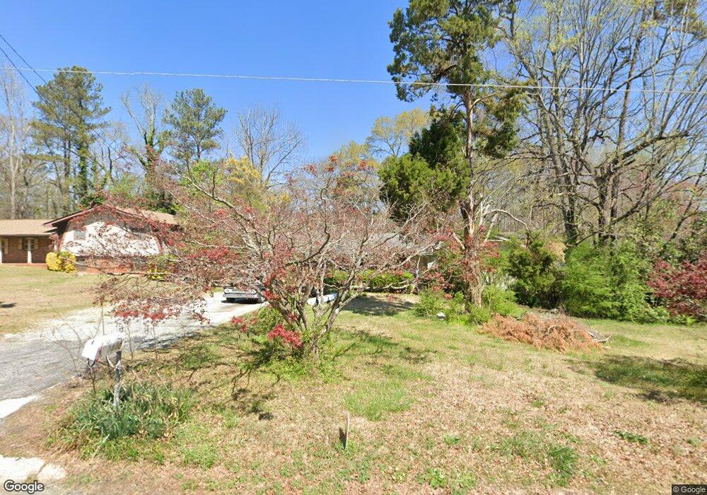
1880 Cox Dr Austell, GA 30168
Estimated Value: $255,000 - $297,000
3
Beds
2
Baths
1,446
Sq Ft
$195/Sq Ft
Est. Value
About This Home
This home is located at 1880 Cox Dr, Austell, GA 30168 and is currently estimated at $281,475, approximately $194 per square foot. 1880 Cox Dr is a home located in Cobb County with nearby schools including Bryant Elementary School, Lindley Middle School, and Pebblebrook High School.
Ownership History
Date
Name
Owned For
Owner Type
Purchase Details
Closed on
Jan 26, 2011
Sold by
Federal Natl Mtg Assn Fnma
Bought by
Tatum Randi B
Current Estimated Value
Purchase Details
Closed on
Jul 6, 2010
Sold by
Citimortgage
Bought by
Federal Natl Mtg Assn Fnma
Purchase Details
Closed on
Apr 29, 2004
Sold by
Burks Richard T and Burks Gayle A
Bought by
Diaz Loida
Home Financials for this Owner
Home Financials are based on the most recent Mortgage that was taken out on this home.
Original Mortgage
$157,000
Interest Rate
5.36%
Mortgage Type
New Conventional
Create a Home Valuation Report for This Property
The Home Valuation Report is an in-depth analysis detailing your home's value as well as a comparison with similar homes in the area
Home Values in the Area
Average Home Value in this Area
Purchase History
| Date | Buyer | Sale Price | Title Company |
|---|---|---|---|
| Tatum Randi B | $47,000 | -- | |
| Federal Natl Mtg Assn Fnma | -- | -- | |
| Diaz Loida | $157,000 | -- |
Source: Public Records
Mortgage History
| Date | Status | Borrower | Loan Amount |
|---|---|---|---|
| Previous Owner | Diaz Loida | $157,000 |
Source: Public Records
Tax History Compared to Growth
Tax History
| Year | Tax Paid | Tax Assessment Tax Assessment Total Assessment is a certain percentage of the fair market value that is determined by local assessors to be the total taxable value of land and additions on the property. | Land | Improvement |
|---|---|---|---|---|
| 2025 | $2,918 | $128,868 | $26,000 | $102,868 |
| 2024 | $2,921 | $128,868 | $26,000 | $102,868 |
| 2023 | $2,497 | $134,332 | $18,000 | $116,332 |
| 2022 | $2,174 | $93,644 | $10,800 | $82,844 |
| 2021 | $1,582 | $66,632 | $10,800 | $55,832 |
| 2020 | $1,582 | $66,632 | $10,800 | $55,832 |
| 2019 | $1,296 | $53,548 | $10,000 | $43,548 |
| 2018 | $1,161 | $47,364 | $9,600 | $37,764 |
| 2017 | $1,103 | $47,364 | $9,600 | $37,764 |
| 2016 | $804 | $36,852 | $9,600 | $27,252 |
| 2015 | $825 | $36,852 | $9,600 | $27,252 |
| 2014 | $296 | $18,800 | $0 | $0 |
Source: Public Records
Map
Nearby Homes
- 1151 S Gordon Rd
- 1972 Cox Dr Unit 5
- 6445 Sherwood Trail
- 2072 Woodbine Cir
- 1784 Brandemere Dr Unit 3
- 6581 Coventry Point Unit 1
- 1576 S Gordon Rd
- 6718 Roscommon Dr
- 6627 Coventry Point
- 2023 Lee Dr
- 6084 S Gordon Rd
- 6651 Malvin Dr
- 6083 Oak Hill Dr
- 1550 Greenbrook Dr
- 0 Maxham Rd Unit 10652291
- 1766 Blossom Ln
- 6243 David Ln SW
- 1310 Dillon Rd
- 1890 Cox Dr Unit 5
- 6410 S Gordon Rd SW
- 6400 S Gordon Rd
- 6410 S Gordon Rd
- 1851 Creveis Rd
- 6388 S Gordon
- 1701 Cox Dr
- 1902 Cox Dr
- 1891 Cox Dr
- 6430 S Gordon Rd
- 1831 Creveis Rd
- 1903 Cox Dr
- 6440 S Gordon Rd
- 1915 Cox Dr
- 1860 Creveis Rd Unit 5
- 1870 Creveis Rd
- 1827 Creveis Rd
- 1850 Creveis Rd
- 6395 S Gordon Rd Unit 2
- 6464 Wanda Ln