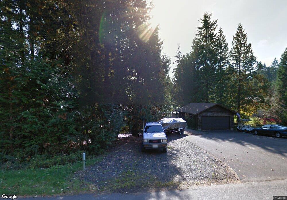
1880 E Saint Andrews Dr N Shelton, WA 98584
Estimated Value: $314,450 - $380,000
2
Beds
1
Bath
1,024
Sq Ft
$343/Sq Ft
Est. Value
About This Home
This home is located at 1880 E Saint Andrews Dr N, Shelton, WA 98584 and is currently estimated at $351,113, approximately $342 per square foot. 1880 E Saint Andrews Dr N is a home located in Mason County with nearby schools including Pioneer Primary School and Pioneer Intermediate/Middle School.
Ownership History
Date
Name
Owned For
Owner Type
Purchase Details
Closed on
Mar 5, 2021
Sold by
Ledeman Aashild Devlin and Ledeman Fred W
Bought by
Turner Randall M and Parkinson Rosemary L
Current Estimated Value
Home Financials for this Owner
Home Financials are based on the most recent Mortgage that was taken out on this home.
Original Mortgage
$239,200
Outstanding Balance
$214,426
Interest Rate
2.7%
Mortgage Type
New Conventional
Estimated Equity
$136,687
Purchase Details
Closed on
Mar 12, 2010
Sold by
Devlin Jame F
Bought by
Devlin James F and Devlin Aashild
Create a Home Valuation Report for This Property
The Home Valuation Report is an in-depth analysis detailing your home's value as well as a comparison with similar homes in the area
Home Values in the Area
Average Home Value in this Area
Purchase History
| Date | Buyer | Sale Price | Title Company |
|---|---|---|---|
| Turner Randall M | $299,000 | Aegis Land Title Group | |
| Turner Randall M | $299,000 | Aegis Land Title Group | |
| Devlin James F | -- | None Available |
Source: Public Records
Mortgage History
| Date | Status | Borrower | Loan Amount |
|---|---|---|---|
| Open | Turner Randall M | $239,200 | |
| Closed | Turner Randall M | $239,200 |
Source: Public Records
Tax History Compared to Growth
Tax History
| Year | Tax Paid | Tax Assessment Tax Assessment Total Assessment is a certain percentage of the fair market value that is determined by local assessors to be the total taxable value of land and additions on the property. | Land | Improvement |
|---|---|---|---|---|
| 2025 | $2,316 | $250,850 | $32,285 | $218,565 |
| 2023 | $2,316 | $284,355 | $23,680 | $260,675 |
| 2022 | $2,259 | $228,170 | $25,465 | $202,705 |
| 2021 | $2,146 | $228,170 | $25,465 | $202,705 |
| 2020 | $1,896 | $199,920 | $21,220 | $178,700 |
| 2018 | $1,714 | $145,420 | $28,800 | $116,620 |
| 2017 | $1,451 | $145,420 | $28,800 | $116,620 |
| 2016 | $1,453 | $126,510 | $25,200 | $101,310 |
| 2015 | $1,254 | $126,510 | $25,200 | $101,310 |
| 2014 | -- | $120,685 | $24,000 | $96,685 |
| 2013 | -- | $108,725 | $24,000 | $84,725 |
Source: Public Records
Map
Nearby Homes
- 550 E Way To Tipperary St
- 30 E Glenmorgan Ct
- 1610 E Saint Andrews Dr N
- 30 E Ballycastle Way
- 310 E Ballantrae Dr
- 321 E Ballycastle Way
- 151 E Galway Rd
- 1341 E Saint Andrews Dr N
- 110 E Shannon Place
- 120 E Shannon Place
- 271 E Ballantrae Dr
- 51 E Glamis Ct
- 1091 E Saint Andrews Dr
- 280 E Clonakilty Dr
- 0 XXX E Balmoral Way
- 90 E Blenheim Place
- 161 E Connemara Way
- 31 E Tintagel Place
- 101 E Paisley Way
- 0 E Olde Lyme Rd
- 1900 E Saint Andrews Dr N
- 580 E Way To Tipperary St
- 1910 E Saint Andrews Dr N
- 4421 E Saint Andrews Dr N
- 570 E Way To Tipperary St
- 1891 E Saint Andrews Dr N
- 1920 E Saint Andrews Dr N
- 1901 E St Andrews Dr N
- 1901 E Saint Andrews Dr N
- 1841 E Saint Andrews Dr N
- 560 E Way To Tipperary St
- 1940 E Saint Andrews Dr N
- 1921 E Saint Andrews Dr N
- 540 E Way To Tipperary St
- 1950 E Saint Andrews Dr N
- 1941 E St Andrews Dr
- 1941 E Saint Andrews Dr N
- 1811 E St Andrews Dr
- 581 E Way To Tipperary St
- 530 E Way To Tipperary St