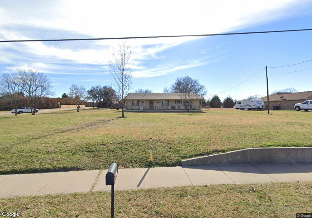
1880 Mount Zion Rd Midlothian, TX 76065
Estimated Value: $506,948 - $535,000
3
Beds
2
Baths
2,408
Sq Ft
$216/Sq Ft
Est. Value
About This Home
This home is located at 1880 Mount Zion Rd, Midlothian, TX 76065 and is currently estimated at $520,974, approximately $216 per square foot. 1880 Mount Zion Rd is a home located in Ellis County with nearby schools including Larue Miller Elementary School and Frank Seale Middle School.
Ownership History
Date
Name
Owned For
Owner Type
Purchase Details
Closed on
Oct 9, 2012
Sold by
Wells Fargo Bank Na
Bought by
Dan & Jeannie Baucum Family Lp
Current Estimated Value
Purchase Details
Closed on
Oct 21, 2005
Sold by
Finke Mary A
Bought by
Koehler Matthew R
Home Financials for this Owner
Home Financials are based on the most recent Mortgage that was taken out on this home.
Original Mortgage
$45,000
Interest Rate
5.75%
Mortgage Type
Unknown
Create a Home Valuation Report for This Property
The Home Valuation Report is an in-depth analysis detailing your home's value as well as a comparison with similar homes in the area
Home Values in the Area
Average Home Value in this Area
Purchase History
| Date | Buyer | Sale Price | Title Company |
|---|---|---|---|
| Dan & Jeannie Baucum Family Lp | -- | None Available | |
| Koehler Matthew R | -- | Ranger Title Co |
Source: Public Records
Mortgage History
| Date | Status | Borrower | Loan Amount |
|---|---|---|---|
| Previous Owner | Koehler Matthew R | $45,000 | |
| Previous Owner | Koehler Matthew R | $95,000 |
Source: Public Records
Tax History Compared to Growth
Tax History
| Year | Tax Paid | Tax Assessment Tax Assessment Total Assessment is a certain percentage of the fair market value that is determined by local assessors to be the total taxable value of land and additions on the property. | Land | Improvement |
|---|---|---|---|---|
| 2025 | $4,642 | $364,195 | -- | -- |
| 2024 | $4,642 | $331,086 | -- | -- |
| 2023 | $4,642 | $300,987 | $0 | $0 |
| 2022 | $6,130 | $273,625 | $0 | $0 |
| 2021 | $5,886 | $248,750 | $52,500 | $196,250 |
| 2020 | $5,850 | $232,560 | $52,500 | $180,060 |
| 2019 | $5,727 | $218,690 | $0 | $0 |
| 2018 | $5,598 | $213,780 | $35,000 | $178,780 |
| 2017 | $5,109 | $191,940 | $35,000 | $156,940 |
| 2016 | $4,629 | $173,920 | $35,000 | $138,920 |
| 2015 | $4,256 | $166,580 | $35,000 | $131,580 |
| 2014 | $4,256 | $159,890 | $0 | $0 |
Source: Public Records
Map
Nearby Homes
- 2230 Woodland Cir
- 1809 Sunlit Ct
- 2454 Savanna Cir
- 1614 Ethan Cir
- 2209 Lyon Ct
- Stonebriar 2FSW (w/Media) Plan at Shady Valley Estates
- Broadcrest FSW (w/Media or Opt 6th BR) Plan at Shady Valley Estates
- Hillwood FSW (w/Media) Plan at Shady Valley Estates
- Woodford 2F Plan at Shady Valley Estates
- Riverchase FSW Plan at Shady Valley Estates
- Brentwood 3FSW (w/Media) Plan at Shady Valley Estates
- Princeton FSW (w/Game) Plan at Shady Valley Estates
- Eagle F Plan at Shady Valley Estates
- Birchwood 2FSW (w/Media) Plan at Shady Valley Estates
- 2002 Kati Jane Ln
- 1810 Briarwood Way
- 1645 Ethan Cir
- 817 Nueces Trail
- 1657 Ethan Cir
- 1421 Ethan Cir
- 1860 Mount Zion Rd
- 2221 Woodland Cir
- 2221 Woodlands Cir
- 1769 Creek Bend Dr
- 2217 Woodland Cir
- 1850 Mount Zion Rd
- 2225 Woodland Cir
- 1851 Mount Zion Rd
- 1765 Creek Bend Dr
- 2011 Mount Zion Rd
- 0 Mt Zion Rd Unit 13267899
- 2231 Sudith Ln
- 2229 Woodlands Cir
- 2213 Woodland Cir
- 1840 Mount Zion Rd
- 1761 Creek Bend Dr
- 2031 Mount Zion Rd
- 2031 Mt Zion
- 2218 Woodland Cir
- 2233 Woodland Cir