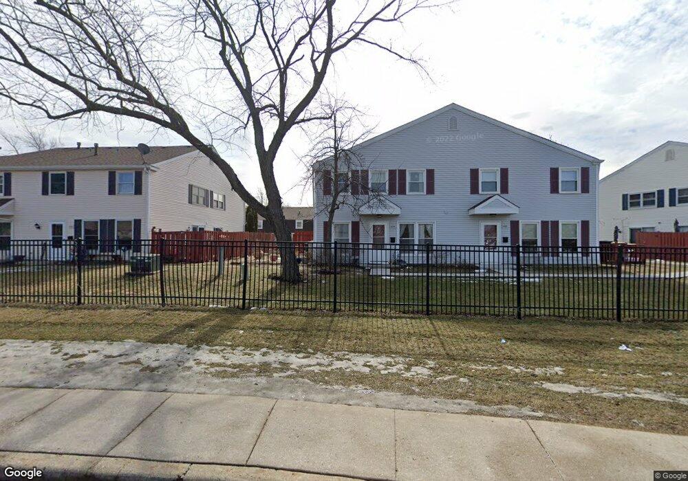
1880 Stockton Dr Unit 3262 Hoffman Estates, IL 60169
South Hoffman Estates NeighborhoodEstimated Value: $217,810 - $252,000
3
Beds
--
Bath
1,000
Sq Ft
$237/Sq Ft
Est. Value
About This Home
This home is located at 1880 Stockton Dr Unit 3262, Hoffman Estates, IL 60169 and is currently estimated at $237,203, approximately $237 per square foot. 1880 Stockton Dr Unit 3262 is a home located in Cook County with nearby schools including John Muir Literacy Academy, Dwight D Eisenhower Junior High School, and Hoffman Estates High School.
Ownership History
Date
Name
Owned For
Owner Type
Purchase Details
Closed on
Jul 3, 1997
Sold by
Lindsey Cheryl A and Kouris Cheryl A
Bought by
Zeledon Paul F
Current Estimated Value
Home Financials for this Owner
Home Financials are based on the most recent Mortgage that was taken out on this home.
Original Mortgage
$64,800
Interest Rate
7.57%
Create a Home Valuation Report for This Property
The Home Valuation Report is an in-depth analysis detailing your home's value as well as a comparison with similar homes in the area
Home Values in the Area
Average Home Value in this Area
Purchase History
| Date | Buyer | Sale Price | Title Company |
|---|---|---|---|
| Zeledon Paul F | $48,000 | -- |
Source: Public Records
Mortgage History
| Date | Status | Borrower | Loan Amount |
|---|---|---|---|
| Previous Owner | Zeledon Paul F | $64,800 |
Source: Public Records
Tax History Compared to Growth
Tax History
| Year | Tax Paid | Tax Assessment Tax Assessment Total Assessment is a certain percentage of the fair market value that is determined by local assessors to be the total taxable value of land and additions on the property. | Land | Improvement |
|---|---|---|---|---|
| 2024 | $4,336 | $14,130 | $3,490 | $10,640 |
| 2023 | $4,196 | $14,130 | $3,490 | $10,640 |
| 2022 | $4,196 | $14,130 | $3,490 | $10,640 |
| 2021 | $3,750 | $11,192 | $5,496 | $5,696 |
| 2020 | $3,662 | $11,192 | $5,496 | $5,696 |
| 2019 | $3,659 | $12,499 | $5,496 | $7,003 |
| 2018 | $2,374 | $7,282 | $4,798 | $2,484 |
| 2017 | $2,332 | $7,282 | $4,798 | $2,484 |
| 2016 | $2,169 | $7,282 | $4,798 | $2,484 |
| 2015 | $1,572 | $4,894 | $4,187 | $707 |
| 2014 | $1,544 | $4,894 | $4,187 | $707 |
| 2013 | $1,505 | $4,894 | $4,187 | $707 |
Source: Public Records
Map
Nearby Homes
- 1886 Stockton Dr Unit 3253
- 1925 Georgetown Ln Unit 4
- 1862 Stockton Dr Unit 3283
- 1956 Georgetown Ln Unit 4
- 1854 Huntington Blvd Unit C
- 1840 Huntington Blvd Unit 415
- 1840 Huntington Blvd Unit 412
- 1738 Ardwick Dr
- 1977 Kenilworth Cir Unit D
- 1800 Huntington Blvd Unit AE615
- 1808 Fayette Walk Unit H
- 1940 Kenilworth Cir Unit D
- 1704 Fayette Walk Unit B
- 2004 E Parkview Cir
- 1763 Bristol Walk Unit 1763
- 1996 Blackberry Ln Unit 14
- 2230 Stratham Place
- 1685 Cornell Dr
- 1672 Cornell Dr
- 2079 E Parkview Cir
- 1878 Stockton Dr Unit 3261
- 1868 Stockton Dr Unit 3272
- 1872 Stockton Dr Unit 3274
- 1866 Stockton Dr Unit 3271
- 1876 Stockton Dr Unit 3264
- 1882 Stockton Dr Unit 3251
- 1888 Stockton Dr Unit 3254
- 1860 Stockton Dr Unit 3282
- 1858 Stockton Dr Unit 3281
- 1884 Stockton Dr Unit 3252
- 1907 Jamestown Cir Unit 3243
- 1913 Jamestown Cir Unit 3242
- 1913 Jamestown Cir Unit 1913
- 1864 Stockton Dr Unit 3284
- 1909 Jamestown Cir Unit 3244
- 1793 Jamestown Cir Unit 3173
- 1850 Stockton Dr Unit 3291
- 1791 Jamestown Cir Unit 1791
- 1791 Jamestown Cir