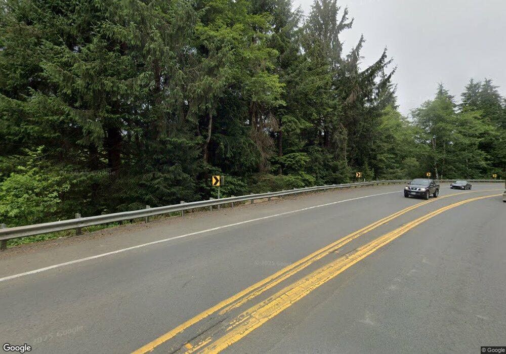
18800 Highway 101 S Cloverdale, OR 97112
Estimated Value: $747,094 - $959,000
5
Beds
1
Bath
3,576
Sq Ft
$239/Sq Ft
Est. Value
About This Home
This home is located at 18800 Highway 101 S, Cloverdale, OR 97112 and is currently estimated at $853,047, approximately $238 per square foot. 18800 Highway 101 S is a home located in Tillamook County with nearby schools including Nestucca K-8 School and Nestucca High School.
Ownership History
Date
Name
Owned For
Owner Type
Purchase Details
Closed on
Mar 18, 2010
Sold by
Vantress Jack B and Vantress Marcia M
Bought by
Vantress Jack B and Vantress Marcia M
Current Estimated Value
Home Financials for this Owner
Home Financials are based on the most recent Mortgage that was taken out on this home.
Original Mortgage
$308,000
Interest Rate
5%
Mortgage Type
New Conventional
Create a Home Valuation Report for This Property
The Home Valuation Report is an in-depth analysis detailing your home's value as well as a comparison with similar homes in the area
Home Values in the Area
Average Home Value in this Area
Purchase History
| Date | Buyer | Sale Price | Title Company |
|---|---|---|---|
| Vantress Jack B | -- | First American |
Source: Public Records
Mortgage History
| Date | Status | Borrower | Loan Amount |
|---|---|---|---|
| Closed | Vantress Jack B | $308,000 |
Source: Public Records
Tax History Compared to Growth
Tax History
| Year | Tax Paid | Tax Assessment Tax Assessment Total Assessment is a certain percentage of the fair market value that is determined by local assessors to be the total taxable value of land and additions on the property. | Land | Improvement |
|---|---|---|---|---|
| 2024 | $3,692 | $350,524 | $26,254 | $324,270 |
| 2023 | $3,666 | $340,445 | $25,615 | $314,830 |
| 2022 | $3,532 | $330,657 | $24,997 | $305,660 |
| 2021 | $3,431 | $321,152 | $24,392 | $296,760 |
| 2020 | $3,352 | $311,929 | $23,809 | $288,120 |
| 2019 | $3,282 | $302,967 | $23,237 | $279,730 |
| 2018 | $3,023 | $294,277 | $22,687 | $271,590 |
| 2017 | $2,706 | $285,828 | $22,148 | $263,680 |
| 2016 | $2,494 | $267,307 | $22,107 | $245,200 |
| 2015 | $2,585 | $269,687 | $21,007 | $248,680 |
| 2014 | $2,443 | $258,056 | $22,016 | $236,040 |
| 2013 | -- | $259,291 | $22,031 | $237,260 |
Source: Public Records
Map
Nearby Homes
- 17805 Highway 101 S
- 24275 Bunn Creek Rd
- 22600 Blaine Rd
- 18485 Salmon Dr
- 25855 Chinook St
- 18600 Nestucca Dr
- 18595 Nestucca Dr
- 18999 Nestucca Dr
- 6205 Munson Creek Rd
- 11605 Highway 101 S
- 11605 U S 101 S
- TL 500 Sandlake Rd
- 500 Sandlake Rd
- 1000,1100 & 1200 Farmer Creek Rd
- 0 Farmer Creek Rd Unit 1000 111923028
- TL 2004 Derrick Rd
- TL 2003 Derrick Rd
- 0 Vl Galloway Rd
- 7715 Galloway Rd
- 2001, 2200 Galloway Rd
- 6080 Sandlake Rd
- 3800 Sandlake Rd
- 3200 Sandlake County Rd
- 14305 Sandlake Rd
- 16275 Sandlake Rd
- 18810 Blanchard Rd
- 18900 Highway 101 S
- 16305 Sandlake Rd
- 18725 Highway 101 S
- 18725 Highway 101 S
- 16325 Sandlake Rd
- 18802 Blanchard Rd
- 18840 Blanchard Rd
- 18800 Blanchard Rd
- 19200 Highway 101 S
- 19200 Highway 101 S
- 18940 Blanchard Rd
- 18950 Blanchard Rd
- 18870 Blanchard Rd
- 18850 Blanchard Rd
