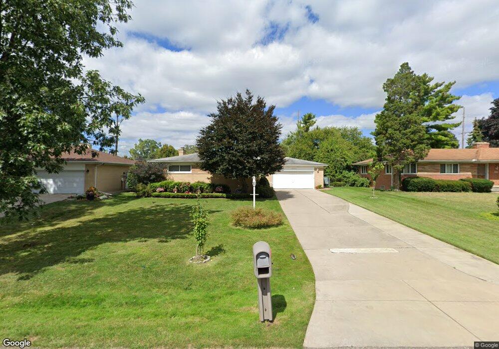
18800 Roseland Blvd Lathrup Village, MI 48076
Estimated Value: $293,000 - $357,000
3
Beds
2
Baths
1,638
Sq Ft
$192/Sq Ft
Est. Value
About This Home
This home is located at 18800 Roseland Blvd, Lathrup Village, MI 48076 and is currently estimated at $314,007, approximately $191 per square foot. 18800 Roseland Blvd is a home located in Oakland County with nearby schools including Alice M. Birney K-8 School, Mcintyre Elementary School, and Crescent Academy Pk-1.
Ownership History
Date
Name
Owned For
Owner Type
Purchase Details
Closed on
Jan 27, 2020
Sold by
Manns Corrinn D and Manns James
Bought by
Manns Corrinn D
Current Estimated Value
Purchase Details
Closed on
Oct 14, 2016
Sold by
Manns Corrinn D
Bought by
Manns Corrinn D and James Manns Jr & Corrinn Manns Living Tr
Purchase Details
Closed on
Apr 2, 2010
Sold by
Manns James and Manns Corrinn
Bought by
The James & Corrinn Manns Jr Living Trus
Create a Home Valuation Report for This Property
The Home Valuation Report is an in-depth analysis detailing your home's value as well as a comparison with similar homes in the area
Home Values in the Area
Average Home Value in this Area
Purchase History
| Date | Buyer | Sale Price | Title Company |
|---|---|---|---|
| Manns Corrinn D | -- | None Available | |
| Manns Corrinn D | -- | None Available | |
| Manns Corrinn D | -- | None Available | |
| Manns Corrinn D | -- | None Available | |
| The James & Corrinn Manns Jr Living Trus | -- | None Available |
Source: Public Records
Tax History Compared to Growth
Tax History
| Year | Tax Paid | Tax Assessment Tax Assessment Total Assessment is a certain percentage of the fair market value that is determined by local assessors to be the total taxable value of land and additions on the property. | Land | Improvement |
|---|---|---|---|---|
| 2024 | $3,076 | $135,030 | $0 | $0 |
| 2023 | $3,007 | $117,320 | $0 | $0 |
| 2022 | $2,788 | $110,680 | $0 | $0 |
| 2021 | $3,255 | $103,590 | $0 | $0 |
| 2020 | $2,613 | $102,390 | $0 | $0 |
| 2019 | $3,198 | $97,840 | $0 | $0 |
| 2018 | $3,269 | $89,880 | $0 | $0 |
| 2017 | $3,227 | $82,830 | $0 | $0 |
| 2016 | $3,226 | $73,450 | $0 | $0 |
| 2015 | -- | $65,400 | $0 | $0 |
| 2014 | -- | $56,180 | $0 | $0 |
| 2011 | -- | $55,720 | $0 | $0 |
Source: Public Records
Map
Nearby Homes
- 29140 Candlewood Ln
- 29214 Candlewood Ln
- 21650 W 11 Mile Rd
- 29239 Somerset Dr
- 18797 Wiltshire Blvd
- 29484 Spring Hill Dr
- 19601 W 12 Mile Rd Unit 102
- 29743 Chelmsford Rd
- 29807 Spring Hill Dr
- 29848 Rambling Rd
- 29662 Westbrook Pkwy
- 27943 Sunset Blvd W
- 18830 San Quentin Dr
- 20141 Lacrosse Ave
- 27619 California Dr SW
- 30130 Woodgate Dr
- 20120 Covington Pkwy
- 28450 Tapert Dr
- 20351 Lacrosse Ave
- 28580 Red Leaf Ln
- 18820 Roseland Blvd
- 18790 Roseland Blvd
- 18840 Roseland Blvd
- 18850 Roseland Blvd
- 28780 Sunset Blvd W
- 18778 Roseland Blvd
- 18860 Roseland Blvd
- 28760 Sunset Blvd W
- 18756 Roseland Blvd
- 18765 Roseland Blvd
- 28748 Sunset Blvd W
- 29108 Candlewood Ln
- 28791 Sunset Blvd W
- 18740 Roseland Blvd
- 29124 Candlewood Ln
- 0 Twelve Mile Rd Unit 4917280
- 28777 Sunset Blvd W
- 18741 Roseland Blvd
- 29025 Rock Creek Dr
- 19030 Roseland Blvd