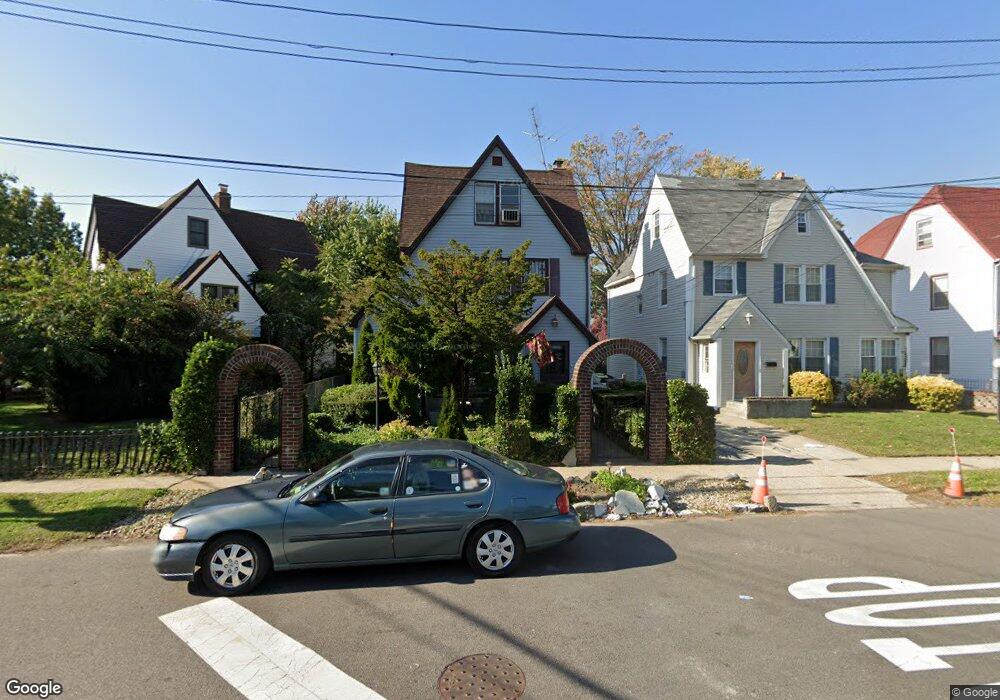
18803 Lewiston Ave Saint Albans, NY 11412
Hollis NeighborhoodEstimated Value: $732,078 - $817,000
--
Bed
--
Bath
1,921
Sq Ft
$402/Sq Ft
Est. Value
About This Home
This home is located at 18803 Lewiston Ave, Saint Albans, NY 11412 and is currently estimated at $772,520, approximately $402 per square foot. 18803 Lewiston Ave is a home located in Queens County with nearby schools including P.S. 118 Lorraine Hansberry, I.S. 192 The Linden, and Riverton Street Charter School.
Create a Home Valuation Report for This Property
The Home Valuation Report is an in-depth analysis detailing your home's value as well as a comparison with similar homes in the area
Home Values in the Area
Average Home Value in this Area
Tax History Compared to Growth
Tax History
| Year | Tax Paid | Tax Assessment Tax Assessment Total Assessment is a certain percentage of the fair market value that is determined by local assessors to be the total taxable value of land and additions on the property. | Land | Improvement |
|---|---|---|---|---|
| 2025 | $6,885 | $34,396 | $9,870 | $24,526 |
| 2024 | $5,639 | $34,277 | $11,783 | $22,494 |
| 2023 | $6,727 | $33,125 | $10,257 | $22,868 |
| 2022 | $4,679 | $39,060 | $13,860 | $25,200 |
| 2021 | $6,394 | $38,280 | $13,860 | $24,420 |
| 2020 | $6,067 | $34,440 | $13,860 | $20,580 |
| 2019 | $5,975 | $30,960 | $13,860 | $17,100 |
| 2018 | $5,627 | $27,604 | $11,246 | $16,358 |
| 2017 | $5,309 | $26,043 | $11,704 | $14,339 |
| 2016 | $5,061 | $26,043 | $11,704 | $14,339 |
| 2015 | $1,043 | $23,886 | $13,287 | $10,599 |
| 2014 | $1,043 | $23,804 | $13,242 | $10,562 |
Source: Public Records
Map
Nearby Homes
- 18833 Keeseville Ave
- 188-07 Mangin Ave
- 18823 Mangin Ave
- 18914 114th Rd
- 188-25 Mangin Ave
- 188-45 Quencer Rd
- 189-18 114th Dr
- 187-44 Jordan Ave
- 189-05 Mangin Ave
- 114-13 203rd st 203rd St
- 191-16 114th Rd
- 186-16 Hilburn Ave
- 19022 111th Rd
- 187-15 Tioga Dr
- 191-40 112th Rd
- 111-06 Farmers Blvd
- 191-34 114th Rd
- 179-07 Murdock Ave
- 18918 Tioga Dr
- 190-59 112th Ave
- 188-07 Lewiston Ave
- 18807 Lewiston Ave
- 18801 Murdock Ave
- 18811 Lewiston Ave
- 18718 Keeseville Ave
- 18722 Keeseville Ave
- 18716 Keeseville Ave
- 18724 Keeseville Ave
- 18712 Keeseville Ave
- 18815 Lewiston Ave
- 18728 Keeseville Ave
- 18710 Keeseville Ave
- 18730 Keeseville Ave
- 187-10 Keeseville Ave
- 187-10 Keeseville Ave Unit 1
- 18835 Murdock Ave
- 18819 Lewiston Ave
- 18810 Murdock Ave
- 18734 Keeseville Ave
- 18734 Keeseville Ave