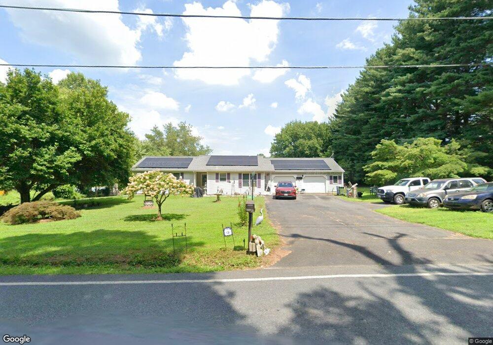
1881 Colora Rd Colora, MD 21917
Estimated Value: $316,000 - $373,000
Studio
1
Bath
1,365
Sq Ft
$243/Sq Ft
Est. Value
About This Home
This home is located at 1881 Colora Rd, Colora, MD 21917 and is currently estimated at $331,112, approximately $242 per square foot. 1881 Colora Rd is a home located in Cecil County with nearby schools including Bainbridge Elementary School, Perryville Middle School, and Perryville High School.
Ownership History
Date
Name
Owned For
Owner Type
Purchase Details
Closed on
Sep 30, 1992
Sold by
Household Finance Corporation, Iii
Bought by
Whitt William H and Whitt Mary B
Current Estimated Value
Home Financials for this Owner
Home Financials are based on the most recent Mortgage that was taken out on this home.
Original Mortgage
$80,850
Interest Rate
8.02%
Purchase Details
Closed on
Jan 2, 1992
Sold by
Foltz Paul L and Foltz Beverly A
Bought by
Household Finance Corporation, Iii
Purchase Details
Closed on
Oct 6, 1981
Sold by
Tiffin Daniel T
Bought by
Foltz Paul L and Foltz Beverly A
Create a Home Valuation Report for This Property
The Home Valuation Report is an in-depth analysis detailing your home's value as well as a comparison with similar homes in the area
Home Values in the Area
Average Home Value in this Area
Purchase History
We collect this data history from publicly available records. To have your information removed, we recommend requesting removal directly through your county’s website.
| Date | Buyer | Sale Price | Title Company |
|---|---|---|---|
| Whitt William H | $79,900 | -- | |
| Household Finance Corporation, Iii | $15,000 | -- | |
| Foltz Paul L | $8,900 | -- |
Source: Public Records
Mortgage History
We collect this data history from publicly available records. To have your information removed, we recommend requesting removal directly through your county’s website.
| Date | Status | Borrower | Loan Amount |
|---|---|---|---|
| Closed | Whitt William H | $80,850 |
Source: Public Records
Tax History
| Year | Tax Paid | Tax Assessment Tax Assessment Total Assessment is a certain percentage of the fair market value that is determined by local assessors to be the total taxable value of land and additions on the property. | Land | Improvement |
|---|---|---|---|---|
| 2025 | $2,710 | $248,600 | $79,200 | $169,400 |
| 2024 | $2,256 | $237,267 | $0 | $0 |
| 2023 | $1,828 | $225,933 | $0 | $0 |
| 2022 | $2,477 | $214,600 | $79,200 | $135,400 |
| 2021 | $2,427 | $207,400 | $0 | $0 |
| 2020 | $2,369 | $200,200 | $0 | $0 |
| 2019 | $2,286 | $193,000 | $79,200 | $113,800 |
| 2018 | $2,248 | $189,667 | $0 | $0 |
| 2017 | $2,209 | $186,333 | $0 | $0 |
| 2016 | $2,078 | $183,000 | $0 | $0 |
| 2015 | $2,078 | $183,000 | $0 | $0 |
| 2014 | $2,014 | $183,000 | $0 | $0 |
Source: Public Records
Map
Nearby Homes
- TBD Rowland Dr
- 148 Windmill Rd
- 0 Liberty Grove Rd Unit MDCC2021416
- lot 2 White Spruce Way
- 1621 Liberty Grove Rd
- 0 Colora Rd
- 1670 Liberty Grove Rd
- 149 Geralds Way
- 5 Denise St
- Lot 8 White Spruce Way
- 245 Theodore Rd
- 18 Highland Hills Dr
- 17 Foxtail Dr
- 8 E Circle Dr
- 22 Sage Ct
- 860 Hopewell Rd
- 2516 Jacob Tome Memorial Hwy
- 14 Race St
- 1089 Nesbitt Rd
- 0 Granite Ave
Your Personal Tour Guide
Ask me questions while you tour the home.