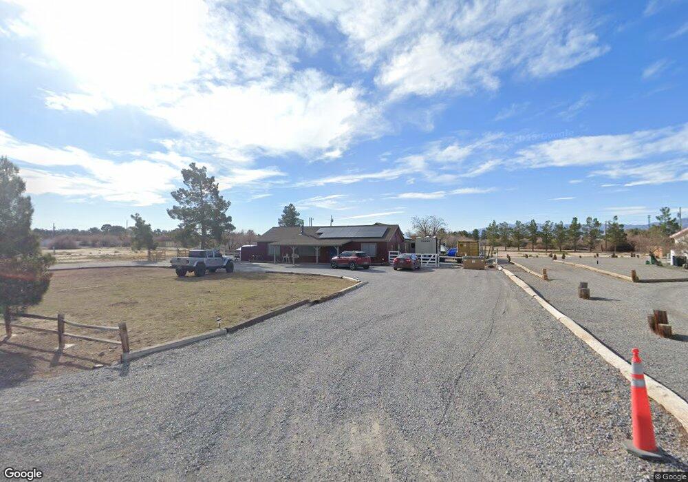
1881 Isaac St Pahrump, NV 89060
Estimated Value: $192,000 - $378,998
4
Beds
3
Baths
1,915
Sq Ft
$167/Sq Ft
Est. Value
About This Home
This home is located at 1881 Isaac St, Pahrump, NV 89060 and is currently estimated at $319,500, approximately $166 per square foot. 1881 Isaac St is a home located in Nye County with nearby schools including Manse Elementary School, Rosemary Clarke Middle School, and Pahrump Valley High School.
Ownership History
Date
Name
Owned For
Owner Type
Purchase Details
Closed on
Nov 23, 2021
Sold by
James Barcley Jr Ted Timothy and Sizemore Kimbirlee
Bought by
Barcley Ted Timothy Jame
Current Estimated Value
Home Financials for this Owner
Home Financials are based on the most recent Mortgage that was taken out on this home.
Original Mortgage
$197,000
Outstanding Balance
$180,766
Interest Rate
3.09%
Mortgage Type
New Conventional
Estimated Equity
$138,734
Create a Home Valuation Report for This Property
The Home Valuation Report is an in-depth analysis detailing your home's value as well as a comparison with similar homes in the area
Home Values in the Area
Average Home Value in this Area
Purchase History
| Date | Buyer | Sale Price | Title Company |
|---|---|---|---|
| Barcley Ted Timothy Jame | -- | New Title Company Name |
Source: Public Records
Mortgage History
| Date | Status | Borrower | Loan Amount |
|---|---|---|---|
| Open | Barcley Ted Timothy Jame | $197,000 |
Source: Public Records
Tax History Compared to Growth
Tax History
| Year | Tax Paid | Tax Assessment Tax Assessment Total Assessment is a certain percentage of the fair market value that is determined by local assessors to be the total taxable value of land and additions on the property. | Land | Improvement |
|---|---|---|---|---|
| 2025 | $1,228 | $63,443 | $5,184 | $58,259 |
| 2024 | $1,228 | $58,392 | $4,135 | $54,257 |
| 2023 | $1,228 | $54,599 | $4,135 | $50,464 |
| 2022 | $1,156 | $50,010 | $4,135 | $45,875 |
| 2021 | $1,126 | $47,876 | $3,308 | $44,568 |
| 2020 | $1,094 | $48,066 | $3,308 | $44,758 |
| 2019 | $1,062 | $55,106 | $3,308 | $51,798 |
| 2018 | $1,032 | $52,729 | $2,646 | $50,083 |
| 2017 | $1,003 | $42,525 | $2,646 | $39,879 |
| 2016 | $979 | $32,570 | $2,646 | $29,924 |
| 2015 | $977 | $26,506 | $2,646 | $23,860 |
| 2014 | $950 | $28,553 | $2,646 | $25,907 |
Source: Public Records
Map
Nearby Homes
- 781 N Leslie St
- 2090 Shady Ln
- 300 W Leslie St
- 2341 Shady Ln
- 1130 N Leslie St
- 1771 W Sagehen St
- 1391 Piltz Rd
- 220 N David St
- 71 Union Pacific St
- 2460 Mary Beth Ct
- 2360 Mary Beth Ct
- 2590 W Luke St
- 2141 W Basin Ave
- 2171 W Basin Ave
- 1141 Piltz Rd
- 2681 Shady Ln
- 1080 Shady Ln
- 1371 W Basin Ave
- 1590 Appaloosa Ln
- 550 Black St
- 1901 Isaac St
- 1851 Isaac St
- 1931 Isaac St
- 1880 Isaac St
- 1850 Isaac St
- 1900 Isaac St
- 1791 Isaac St
- 1961 Isaac St
- 1820 Isaac St
- 1930 Isaac St
- 1790 Isaac St
- 1761 Isaac St
- 1960 Isaac St
- 601 N Leslie St
- 1760 Isaac St Unit 2
- 1720 Princeton Cir
- 561 N Leslie St
- 1721 Chowchilla Cir
- 1721 Princeton Cir
- 640 N Leslie St