1881 Nettlecreek Dr Saint Louis, MO 63131
Estimated Value: $1,036,419 - $1,115,000
4
Beds
3
Baths
2,756
Sq Ft
$387/Sq Ft
Est. Value
About This Home
This home is located at 1881 Nettlecreek Dr, Saint Louis, MO 63131 and is currently estimated at $1,067,355, approximately $387 per square foot. 1881 Nettlecreek Dr is a home located in St. Louis County with nearby schools including Mason Ridge Elementary School, Parkway West Middle School, and Parkway West High School.
Ownership History
Date
Name
Owned For
Owner Type
Purchase Details
Closed on
Jun 29, 2018
Sold by
Burney John T and Burney Susan W
Bought by
Burney John T and Burney Susan W
Current Estimated Value
Home Financials for this Owner
Home Financials are based on the most recent Mortgage that was taken out on this home.
Original Mortgage
$75,058
Interest Rate
4.6%
Mortgage Type
New Conventional
Purchase Details
Closed on
Oct 7, 2002
Sold by
Burney John T and Burney Susan W
Bought by
Burney John T and Burney Susan W
Home Financials for this Owner
Home Financials are based on the most recent Mortgage that was taken out on this home.
Original Mortgage
$70,000
Interest Rate
6.2%
Purchase Details
Closed on
Jan 25, 2002
Sold by
Burney John T and Burney Susan W
Bought by
Burney Jason T and Burney James A
Create a Home Valuation Report for This Property
The Home Valuation Report is an in-depth analysis detailing your home's value as well as a comparison with similar homes in the area
Home Values in the Area
Average Home Value in this Area
Purchase History
| Date | Buyer | Sale Price | Title Company |
|---|---|---|---|
| Burney John T | -- | Title Source | |
| Burney John T | -- | -- | |
| Burney Jason T | -- | -- |
Source: Public Records
Mortgage History
| Date | Status | Borrower | Loan Amount |
|---|---|---|---|
| Closed | Burney John T | $75,058 | |
| Closed | Burney John T | $70,000 |
Source: Public Records
Tax History Compared to Growth
Tax History
| Year | Tax Paid | Tax Assessment Tax Assessment Total Assessment is a certain percentage of the fair market value that is determined by local assessors to be the total taxable value of land and additions on the property. | Land | Improvement |
|---|---|---|---|---|
| 2025 | $7,691 | $166,250 | $88,540 | $77,710 |
| 2024 | $7,691 | $132,200 | $78,700 | $53,500 |
| 2023 | $7,278 | $132,200 | $78,700 | $53,500 |
| 2022 | $7,551 | $124,640 | $88,540 | $36,100 |
| 2021 | $7,488 | $124,640 | $88,540 | $36,100 |
| 2020 | $7,254 | $115,440 | $84,890 | $30,550 |
| 2019 | $7,152 | $115,440 | $84,890 | $30,550 |
| 2018 | $7,283 | $108,680 | $75,470 | $33,210 |
| 2017 | $7,184 | $108,680 | $75,470 | $33,210 |
| 2016 | $6,462 | $92,930 | $66,040 | $26,890 |
| 2015 | $6,812 | $92,930 | $66,040 | $26,890 |
| 2014 | $5,989 | $88,750 | $29,740 | $59,010 |
Source: Public Records
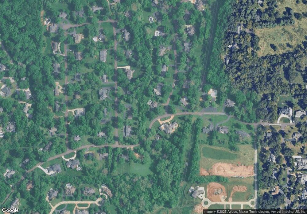
Map
Nearby Homes
- 13354 Thornhill Dr
- 1826 S Mason Rd
- 1652 Mason Knoll Rd
- 1536 S Mason Rd
- 1473 Mason Valley Rd
- 1824 Topping Rd
- 1515 Topping Rd
- 1359 S Mason Rd
- 2211 Viewroyal Dr
- 12841 Thornhill Ct
- 1369 Nykiel Ct
- 13527 Royal Glen Dr
- 2527 Barrett Place Dr
- 2522 Barrett Place Dr
- 1115 Dutch Mill Dr
- 831 Minarca Dr
- 29a Chapel Hill Estates Dr
- 2323 Hollyhead Dr
- 609 Vitry Dr
- 2405 Fairoyal Dr
- 1869 Nettlecreek Dr
- 1842 Manor Hill Rd
- 13300 Thornhill Dr
- 1850 Manor Hill Rd
- 13231 Thornhill Dr
- 13308 Thornhill Dr
- 1826 Manor Hill Rd
- 1857 Nettlecreek Dr
- 1864 Nettlecreek Dr
- 1835 Manor Hill Rd
- 13316 Thornhill Dr
- 1818 Manor Hill Rd
- 1845 Nettlecreek Dr
- 13224 Thornhill Dr
- 1827 Manor Hill Rd
- 1856 Nettlecreek Dr
- 13324 Thornhill Dr
- 13330 Thornhill Dr