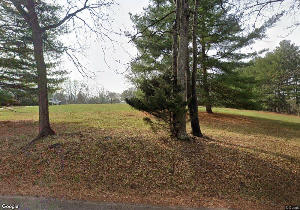
18823 Burnside Bridge Rd Sharpsburg, MD 21782
Estimated Value: $478,000 - $592,000
--
Bed
2
Baths
2,217
Sq Ft
$245/Sq Ft
Est. Value
About This Home
This home is located at 18823 Burnside Bridge Rd, Sharpsburg, MD 21782 and is currently estimated at $543,640, approximately $245 per square foot. 18823 Burnside Bridge Rd is a home located in Washington County with nearby schools including Sharpsburg Elementary School, Boonsboro Middle School, and Boonsboro High School.
Ownership History
Date
Name
Owned For
Owner Type
Purchase Details
Closed on
Nov 19, 2002
Sold by
Bambrick Martin J and Bambrick Ann P
Bought by
Sirico Nicholas J and Sirico Susan A
Current Estimated Value
Purchase Details
Closed on
Jan 31, 1994
Sold by
Beatty J R
Bought by
Bambrick Martin J
Home Financials for this Owner
Home Financials are based on the most recent Mortgage that was taken out on this home.
Original Mortgage
$148,500
Interest Rate
7.11%
Create a Home Valuation Report for This Property
The Home Valuation Report is an in-depth analysis detailing your home's value as well as a comparison with similar homes in the area
Home Values in the Area
Average Home Value in this Area
Purchase History
| Date | Buyer | Sale Price | Title Company |
|---|---|---|---|
| Sirico Nicholas J | $275,000 | -- | |
| Bambrick Martin J | $165,000 | -- |
Source: Public Records
Mortgage History
| Date | Status | Borrower | Loan Amount |
|---|---|---|---|
| Previous Owner | Bambrick Martin J | $148,500 | |
| Closed | Sirico Nicholas J | -- |
Source: Public Records
Tax History Compared to Growth
Tax History
| Year | Tax Paid | Tax Assessment Tax Assessment Total Assessment is a certain percentage of the fair market value that is determined by local assessors to be the total taxable value of land and additions on the property. | Land | Improvement |
|---|---|---|---|---|
| 2025 | -- | $343,133 | $0 | $0 |
| 2024 | -- | $312,367 | $0 | $0 |
| 2023 | $0 | $281,600 | $87,200 | $194,400 |
| 2022 | $60 | $275,300 | $0 | $0 |
| 2021 | $60 | $269,000 | $0 | $0 |
| 2020 | $60 | $262,700 | $87,200 | $175,500 |
| 2019 | $60 | $260,167 | $0 | $0 |
| 2018 | $60 | $257,633 | $0 | $0 |
| 2017 | $60 | $255,100 | $0 | $0 |
| 2016 | -- | $255,100 | $0 | $0 |
| 2015 | -- | $255,100 | $0 | $0 |
| 2014 | $30 | $259,700 | $0 | $0 |
Source: Public Records
Map
Nearby Homes
- 0 Burnside Bridge Rd
- 4720 Horizon Ln
- 5103 Red Hill Rd
- 4723 Harpers Ferry Rd
- 0 Chestnut Grove Rd
- 3931 Trego Mountain Rd
- 201 E Main St
- 3940 Trego Rd
- 4402 Main St
- 105 Rabbits Rest Ln
- 4330 Main St
- 364 Knott Rd
- 0 Harpers Ferry Rd Unit MDWA2033148
- 18637 Outpost Rd
- Lot 4L Symphony Ln
- Sec L Lot 1 Symphony Ln
- 3 Symphony Ln
- 6 Mallard Ln
- 130 Stonecrest Cir
- 3305 Gapland Rd
- 18809 Burnside Bridge Rd
- 18833 Burnside Bridge Rd
- 18825 Burnside Bridge Rd
- 18818 Burnside Bridge Rd
- 4431 Mills Rd
- 18725 Burnside Bridge Rd
- 18810 Burnside Bridge Rd
- 18845 Burnside Bridge Rd
- 4433 Mills Rd
- 18804 Burnside Bridge Rd
- 18726 Burnside Bridge Rd
- 18711 Burnside Bridge Rd
- 4411 Mills Rd
- 18865 Burnside Bridge Rd
- 4315 Mills Rd
- 4309 Mills Rd
- 4434 Mills Rd
- 4440 Mills Rd
- 18907 Burnside Bridge Rd
- 4444 Mills Rd
