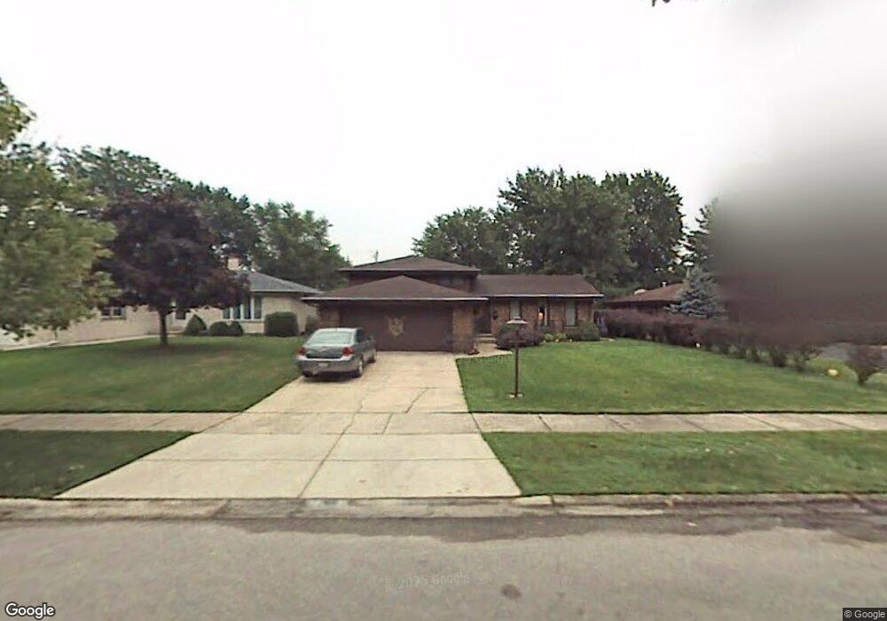
18823 Sherman St Lansing, IL 60438
Estimated Value: $212,000 - $268,000
3
Beds
2
Baths
1,276
Sq Ft
$193/Sq Ft
Est. Value
About This Home
This home is located at 18823 Sherman St, Lansing, IL 60438 and is currently estimated at $245,651, approximately $192 per square foot. 18823 Sherman St is a home located in Cook County with nearby schools including Nathan Hale Elementary School, Heritage Middle School, and Thornton Fractnl So High School.
Ownership History
Date
Name
Owned For
Owner Type
Purchase Details
Closed on
Oct 25, 1994
Sold by
Tengstrand Gail A
Bought by
Tengstrand Robert S
Current Estimated Value
Home Financials for this Owner
Home Financials are based on the most recent Mortgage that was taken out on this home.
Original Mortgage
$100,000
Interest Rate
10%
Create a Home Valuation Report for This Property
The Home Valuation Report is an in-depth analysis detailing your home's value as well as a comparison with similar homes in the area
Home Values in the Area
Average Home Value in this Area
Purchase History
| Date | Buyer | Sale Price | Title Company |
|---|---|---|---|
| Tengstrand Robert S | -- | 1St American Title |
Source: Public Records
Mortgage History
| Date | Status | Borrower | Loan Amount |
|---|---|---|---|
| Closed | Tengstrand Robert S | $100,000 |
Source: Public Records
Tax History Compared to Growth
Tax History
| Year | Tax Paid | Tax Assessment Tax Assessment Total Assessment is a certain percentage of the fair market value that is determined by local assessors to be the total taxable value of land and additions on the property. | Land | Improvement |
|---|---|---|---|---|
| 2024 | $7,266 | $21,204 | $3,468 | $17,736 |
| 2023 | $4,123 | $23,000 | $3,468 | $19,532 |
| 2022 | $4,123 | $13,181 | $3,060 | $10,121 |
| 2021 | $4,066 | $13,180 | $3,060 | $10,120 |
| 2020 | $4,023 | $13,180 | $3,060 | $10,120 |
| 2019 | $4,450 | $14,779 | $2,856 | $11,923 |
| 2018 | $4,322 | $14,779 | $2,856 | $11,923 |
| 2017 | $4,285 | $14,779 | $2,856 | $11,923 |
| 2016 | $5,429 | $13,823 | $2,652 | $11,171 |
| 2015 | $5,203 | $13,823 | $2,652 | $11,171 |
| 2014 | $5,107 | $13,823 | $2,652 | $11,171 |
| 2013 | $5,283 | $15,463 | $2,652 | $12,811 |
Source: Public Records
Map
Nearby Homes
- 18747 Sherman St
- 3461 S Manor Dr
- 3363 S Manor Dr
- 3240 N Manor Dr Unit 130
- 18855 Burnham Ave Unit 234
- 18855 Burnham Ave Unit 132
- 18855 Burnham Ave Unit 231
- 3225 Otto St
- 3320 191st St
- 19061 Wentworth Ave
- 3542 191st Place
- 18828 Greenbay Ave
- 18864 Greenbay Ave
- 3620 186th St Unit 405
- 3640 186th St Unit 101
- 18504 Wentworth Ave
- 19202 Sherman St
- 19205 Ada St
- 3109 190th St Unit 2
- 3251 N Schultz Dr
- 18815 Sherman St
- 18829 Sherman St
- 18809 Sherman St
- 18822 William St
- 18841 Sherman St
- 18828 William St
- 18814 William St
- 18801 Sherman St
- 18808 William St
- 18853 Sherman St
- 18836 William St
- 18822 Sherman St
- 18814 Sherman St
- 18828 Sherman St
- 18800 William St
- 18808 Sherman St
- 18834 Sherman St
- 18848 William St
- 18800 Sherman St
- 18773 Sherman St