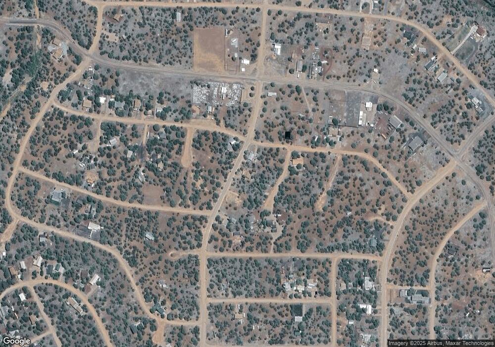
1883 Bourdon St Unit WML Show Low, AZ 85901
Estimated Value: $246,469 - $297,000
--
Bed
--
Bath
1,152
Sq Ft
$235/Sq Ft
Est. Value
About This Home
This home is located at 1883 Bourdon St Unit WML, Show Low, AZ 85901 and is currently estimated at $270,617, approximately $234 per square foot. 1883 Bourdon St Unit WML is a home located in Navajo County with nearby schools including Nikolaus Homestead Elementary School, Show Low High School, and Show Low Junior High School.
Ownership History
Date
Name
Owned For
Owner Type
Purchase Details
Closed on
Aug 15, 2020
Sold by
Maldonado Sherry Lynn and Dove Sherry Lynn
Bought by
Salters Loren E
Current Estimated Value
Purchase Details
Closed on
Apr 25, 2018
Sold by
Stone Sharon V
Bought by
Dove Sherry Lynn
Home Financials for this Owner
Home Financials are based on the most recent Mortgage that was taken out on this home.
Original Mortgage
$58,500
Interest Rate
4.44%
Mortgage Type
New Conventional
Purchase Details
Closed on
Jun 21, 2007
Sold by
Stone Sharon V
Bought by
Stone Sharon V
Home Financials for this Owner
Home Financials are based on the most recent Mortgage that was taken out on this home.
Original Mortgage
$86,000
Interest Rate
6.21%
Mortgage Type
New Conventional
Create a Home Valuation Report for This Property
The Home Valuation Report is an in-depth analysis detailing your home's value as well as a comparison with similar homes in the area
Home Values in the Area
Average Home Value in this Area
Purchase History
| Date | Buyer | Sale Price | Title Company |
|---|---|---|---|
| Salters Loren E | $165,000 | Lawyers Title Of Arizona Inc | |
| Dove Sherry Lynn | $133,500 | Lawyers Title | |
| Stone Sharon V | -- | Pioneer Title Agency |
Source: Public Records
Mortgage History
| Date | Status | Borrower | Loan Amount |
|---|---|---|---|
| Previous Owner | Dove Sherry Lynn | $58,500 | |
| Previous Owner | Stone Sharon V | $86,000 |
Source: Public Records
Tax History Compared to Growth
Tax History
| Year | Tax Paid | Tax Assessment Tax Assessment Total Assessment is a certain percentage of the fair market value that is determined by local assessors to be the total taxable value of land and additions on the property. | Land | Improvement |
|---|---|---|---|---|
| 2026 | $870 | -- | -- | -- |
| 2025 | $863 | $13,348 | $690 | $12,658 |
| 2024 | $825 | $11,091 | $565 | $10,526 |
| 2023 | $863 | $8,865 | $545 | $8,320 |
| 2022 | $825 | $0 | $0 | $0 |
| 2021 | $825 | $0 | $0 | $0 |
| 2020 | $682 | $0 | $0 | $0 |
| 2019 | $783 | $0 | $0 | $0 |
| 2018 | $665 | $0 | $0 | $0 |
| 2017 | $619 | $0 | $0 | $0 |
| 2016 | $617 | $0 | $0 | $0 |
| 2015 | $603 | $4,822 | $200 | $4,622 |
Source: Public Records
Map
Nearby Homes
- 8358 Silver Creek Dr
- 8356 Silver Creek Dr
- 8356 Silver Creek Dr Unit 14
- 8315 Lone Pine Dr
- 8319 Lakeside Dr
- 8379 Apache Dr Unit 9
- 1828 &1830 Daggs St
- 1866 Daggs St
- 8330 Skyline Dr Unit 59
- 8330 Skyline Dr
- 8314 Silver Creek Dr
- 1939 Daggs Cir Unit 24
- 8337 Navajo Dr
- 1836 Shumway St Unit 10
- 8426 Silver Creek Dr Unit 1
- 1916 Daggs Cir
- 1916 Daggs Cir Unit H
- 1944,1945 Fishing Place
- 8332 Pinon Dr
- 8332 Pinon Dr Unit 3
- 1883 Bourdon St
- 1887 Bourdon St
- 1877 Bourdon St
- 8359 Bear Meadow Dr
- 1879 Turkey Flat Place
- 8389 Bear Meadow Dr
- 8389 Bear Meadow Dr Unit 4
- 1843 Bourdon St
- 1852 Bourdon St
- 1875 Bourdon St
- 1885 White Tail Place Unit Latitude/Longitude34
- 1872 Turkey Flat Place
- 1887 White Tail Place Unit Latitude/Longitude 3
- 1887 White Tail Place
- 1871 Bourdon St Unit 1
- 1869 Turkey Flat Place
- 8375 Bear Meadow Dr
- 8372 Bear Meadow Dr
- 8360 Juniper Dr
- 1884 White Tail Place
