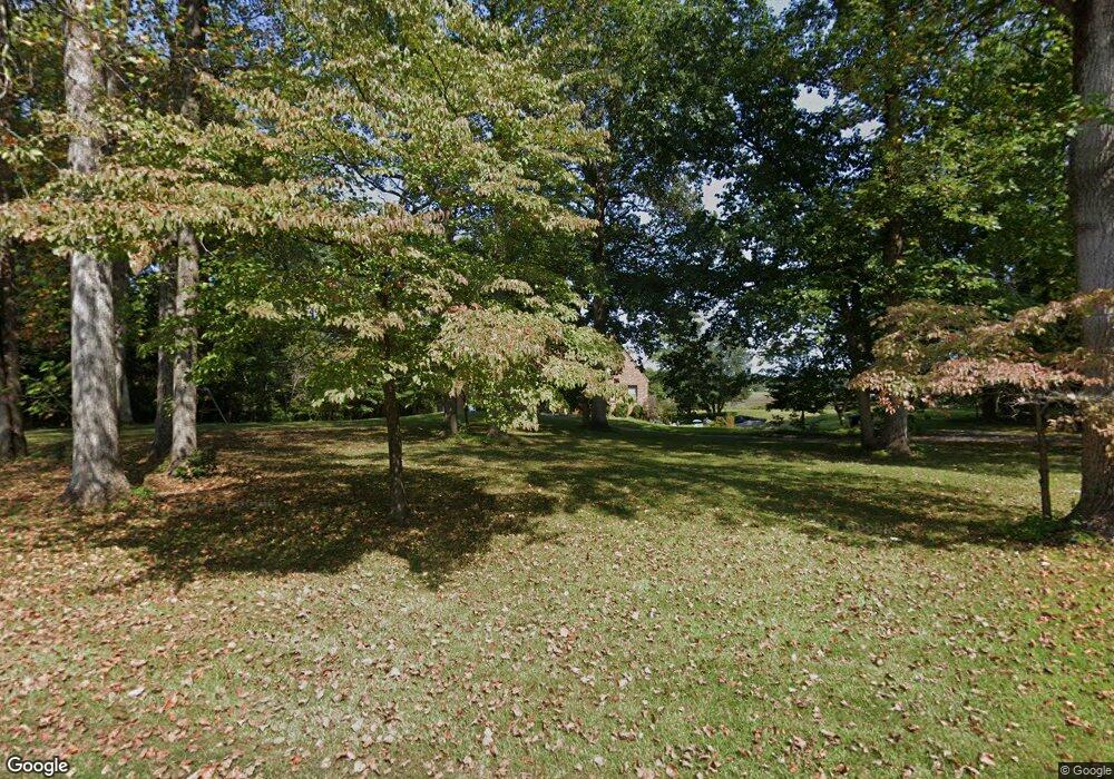
1883 Mustang Trail Suffolk, VA 23432
Chuckatuck NeighborhoodEstimated Value: $632,000 - $724,013
5
Beds
5
Baths
3,423
Sq Ft
$199/Sq Ft
Est. Value
About This Home
This home is located at 1883 Mustang Trail, Suffolk, VA 23432 and is currently estimated at $682,253, approximately $199 per square foot. 1883 Mustang Trail is a home located in Suffolk City with nearby schools including Oakland Elementary School, King's Fork Middle School, and King's Fork High School.
Ownership History
Date
Name
Owned For
Owner Type
Purchase Details
Closed on
Nov 23, 2020
Sold by
Charles Elster
Bought by
Dorsey Brittany Marianne and Dorsey Carl Estel
Current Estimated Value
Home Financials for this Owner
Home Financials are based on the most recent Mortgage that was taken out on this home.
Original Mortgage
$400,500
Outstanding Balance
$356,388
Interest Rate
2.8%
Mortgage Type
New Conventional
Estimated Equity
$325,865
Create a Home Valuation Report for This Property
The Home Valuation Report is an in-depth analysis detailing your home's value as well as a comparison with similar homes in the area
Home Values in the Area
Average Home Value in this Area
Purchase History
| Date | Buyer | Sale Price | Title Company |
|---|---|---|---|
| Dorsey Brittany Marianne | $445,000 | None Available |
Source: Public Records
Mortgage History
| Date | Status | Borrower | Loan Amount |
|---|---|---|---|
| Open | Dorsey Brittany Marianne | $400,500 |
Source: Public Records
Tax History Compared to Growth
Tax History
| Year | Tax Paid | Tax Assessment Tax Assessment Total Assessment is a certain percentage of the fair market value that is determined by local assessors to be the total taxable value of land and additions on the property. | Land | Improvement |
|---|---|---|---|---|
| 2024 | $6,531 | $540,400 | $171,000 | $369,400 |
| 2023 | $6,175 | $525,500 | $171,000 | $354,500 |
| 2022 | $5,185 | $475,700 | $171,000 | $304,700 |
| 2021 | $5,280 | $475,700 | $171,000 | $304,700 |
| 2020 | $5,299 | $477,400 | $171,000 | $306,400 |
| 2019 | $5,299 | $477,400 | $171,000 | $306,400 |
| 2018 | $5,292 | $473,100 | $171,000 | $302,100 |
| 2017 | $5,062 | $473,100 | $171,000 | $302,100 |
| 2016 | $5,062 | $473,100 | $171,000 | $302,100 |
| 2015 | $2,431 | $473,100 | $171,000 | $302,100 |
| 2014 | $2,431 | $473,100 | $171,000 | $302,100 |
Source: Public Records
Map
Nearby Homes
- 1857 Palomino Trail
- 23028 Lake Ct
- 16177 Greenfield Ct
- 1696 Cherry Grove Rd N
- 15421 Rollingwood Dr
- 15380 Cedar Grove Rd
- 15501 Carrollton Blvd
- 1628 Holly Point Ln
- 15516 Gayle Way
- 22500 Britt Way
- 15138 Batiste Ct
- 1 Gayle Way
- 15097 Larkspur Ct
- 303 Tributary Ln
- 8369 Crittenden Rd
- 13+ac Sugar Hill Rd
- 108 Patricks Ct
- 408 Kathy Ann Way W
- 419 Hastings Place
- 601 Kathy Ann Way W
- 1879 Mustang Trail
- 1887 Mustang Trail
- 1886 Mustang Trail
- 1882 Mustang Trail
- 1875 Mustang Trail
- 1881 Horseshoe Point Rd
- 1874 Mustang Trail
- 1871 Mustang Trail
- 1874 Horseshoe Point Rd
- 1877 Horseshoe Point Rd
- 1870 Mustang Trail
- 1870 Horseshoe Point Rd
- 1869 Horseshoe Point Rd
- 1866 Horseshoe Point Rd
- 1865 Horseshoe Point Rd
- 1862 Horseshoe Point Rd
- 15533 New Towne Haven Ln
- 213 Deep Water Way
- 211 Deep Water Way
- 315 Lakeview Ln
