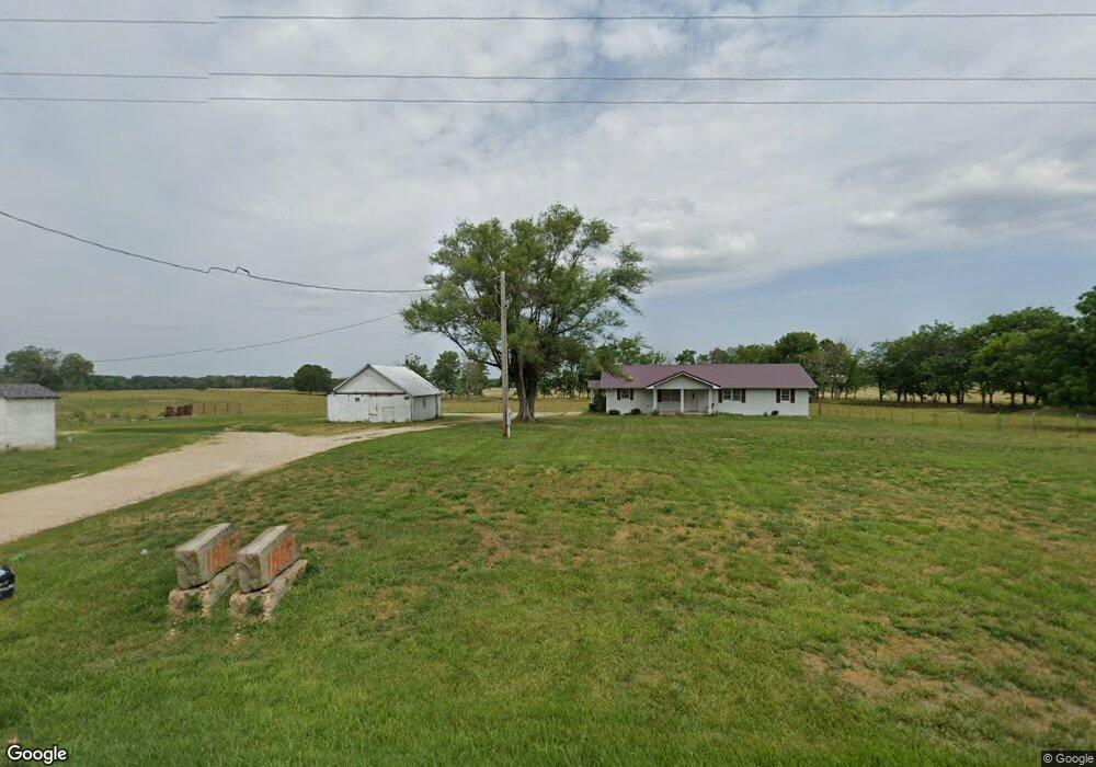
1883 State Highway 32 Phillipsburg, MO 65722
Estimated Value: $221,580 - $390,000
--
Bed
1
Bath
1,800
Sq Ft
$169/Sq Ft
Est. Value
About This Home
This home is located at 1883 State Highway 32, Phillipsburg, MO 65722 and is currently estimated at $304,193, approximately $168 per square foot. 1883 State Highway 32 is a home with nearby schools including Buffalo High School.
Ownership History
Date
Name
Owned For
Owner Type
Purchase Details
Closed on
Sep 2, 2022
Sold by
Knapp Reginald J
Bought by
Harold H Storck And Linda M Storck Revocable
Current Estimated Value
Purchase Details
Closed on
Sep 9, 2009
Sold by
Storck Harold and Storck Linda
Bought by
Knapp Reginald J
Purchase Details
Closed on
Feb 23, 2005
Sold by
Three Springs Farm L L C
Bought by
Storck Harold and Storck Linda
Home Financials for this Owner
Home Financials are based on the most recent Mortgage that was taken out on this home.
Original Mortgage
$350,000
Interest Rate
5.71%
Mortgage Type
Future Advance Clause Open End Mortgage
Create a Home Valuation Report for This Property
The Home Valuation Report is an in-depth analysis detailing your home's value as well as a comparison with similar homes in the area
Home Values in the Area
Average Home Value in this Area
Purchase History
| Date | Buyer | Sale Price | Title Company |
|---|---|---|---|
| Harold H Storck And Linda M Storck Revocable | -- | -- | |
| Knapp Reginald J | -- | None Available | |
| Storck Harold | -- | None Available |
Source: Public Records
Mortgage History
| Date | Status | Borrower | Loan Amount |
|---|---|---|---|
| Previous Owner | Storck Harold | $350,000 |
Source: Public Records
Tax History Compared to Growth
Tax History
| Year | Tax Paid | Tax Assessment Tax Assessment Total Assessment is a certain percentage of the fair market value that is determined by local assessors to be the total taxable value of land and additions on the property. | Land | Improvement |
|---|---|---|---|---|
| 2024 | $723 | $17,640 | $0 | $0 |
| 2023 | $715 | $16,120 | $0 | $0 |
| 2022 | $690 | $17,040 | $0 | $0 |
| 2021 | $690 | $15,420 | $0 | $0 |
| 2020 | $689 | $15,420 | $0 | $0 |
| 2019 | $690 | $15,420 | $0 | $0 |
| 2018 | $615 | $15,440 | $0 | $0 |
| 2017 | $615 | $15,440 | $0 | $0 |
| 2016 | $575 | $16,090 | $0 | $0 |
| 2015 | -- | $14,430 | $0 | $0 |
| 2014 | -- | $14,430 | $0 | $0 |
Source: Public Records
Map
Nearby Homes
- 1956 State Highway 32
- 1956 State Highway 32 Unit LotWP001
- TBD Sage Trail Unit WP001
- 0 Tbd Sage Trail Unit Lot WP001
- 166 State Road P
- 000 County Road 64-879m
- 0 County Road Oo-870
- 140 State Highway V
- 140 State Road V
- 18 Cheek Ln
- 000 State Highway P
- 117 Flintlock Rd
- 117 Flintlock Ln
- 1356 State Highway 32
- 95 Deerfield Ln
- 14675 Edison Rd
- TBD Jackson Ave
- 11050 Gingham Ln
- 000 W Pine St
- TBD W Pine St
- 1864 State Highway 32
- 1908 State Highway 32
- 40 Cave Creek Rd
- 1832 State Highway 32
- 1939 State Highway 32
- 1910 State Highway 32
- 1956 State Highway 32
- 63 Cave Creek Rd
- 41 Saddle Trail
- 1974 State Highway 32
- 21 Antler Trail
- 1793 State Highway 32
- 1792 State Highway 32
- 29 Cedar Ridge Rd
- 32 X W Hwy 32
- 56 Cedar Ridge Rd
- 1782 State Highway 32