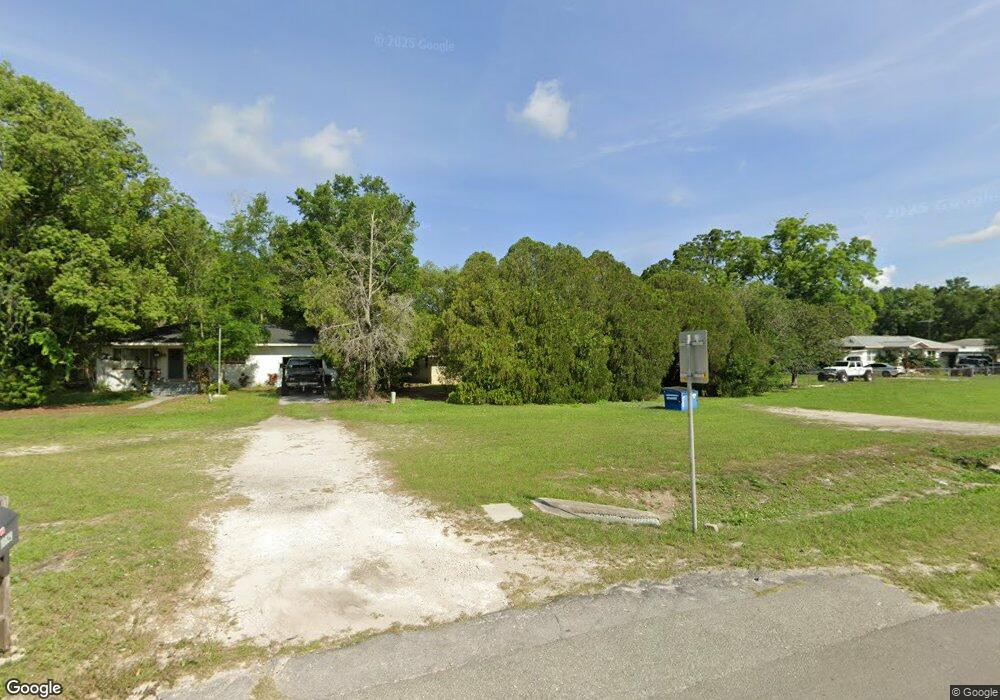
18837 Us Highway 41 Spring Hill, FL 34610
Estimated Value: $163,442 - $252,000
2
Beds
2
Baths
1,050
Sq Ft
$204/Sq Ft
Est. Value
About This Home
This home is located at 18837 Us Highway 41, Spring Hill, FL 34610 and is currently estimated at $214,361, approximately $204 per square foot. 18837 Us Highway 41 is a home located in Pasco County with nearby schools including Dr. Mary Giella Elementary School, Crews Lake Middle School, and Land O' Lakes High School.
Ownership History
Date
Name
Owned For
Owner Type
Purchase Details
Closed on
Jul 7, 1999
Sold by
Risk William R and Risk Mildred
Bought by
Albury Louise A
Current Estimated Value
Home Financials for this Owner
Home Financials are based on the most recent Mortgage that was taken out on this home.
Original Mortgage
$27,500
Outstanding Balance
$7,074
Interest Rate
7.23%
Mortgage Type
New Conventional
Estimated Equity
$207,287
Create a Home Valuation Report for This Property
The Home Valuation Report is an in-depth analysis detailing your home's value as well as a comparison with similar homes in the area
Home Values in the Area
Average Home Value in this Area
Purchase History
| Date | Buyer | Sale Price | Title Company |
|---|---|---|---|
| Albury Louise A | $37,500 | -- |
Source: Public Records
Mortgage History
| Date | Status | Borrower | Loan Amount |
|---|---|---|---|
| Open | Albury Louise A | $27,500 |
Source: Public Records
Tax History
| Year | Tax Paid | Tax Assessment Tax Assessment Total Assessment is a certain percentage of the fair market value that is determined by local assessors to be the total taxable value of land and additions on the property. | Land | Improvement |
|---|---|---|---|---|
| 2026 | $1,480 | $47,410 | -- | -- |
| 2025 | $1,480 | $47,410 | -- | -- |
| 2024 | $1,480 | $44,790 | -- | -- |
| 2023 | $1,450 | $43,490 | $17,534 | $25,956 |
| 2022 | $1,468 | $42,230 | $0 | $0 |
| 2021 | $1,445 | $41,000 | $13,150 | $27,850 |
| 2020 | $1,430 | $40,440 | $13,150 | $27,290 |
| 2019 | $1,411 | $39,540 | $0 | $0 |
| 2018 | $1,403 | $38,812 | $0 | $0 |
| 2017 | $367 | $38,812 | $0 | $0 |
| 2016 | $315 | $37,232 | $0 | $0 |
| 2015 | $315 | $36,973 | $0 | $0 |
| 2014 | $297 | $44,268 | $13,150 | $31,118 |
Source: Public Records
Map
Nearby Homes
- 0 Dvorak Dr Unit MFRTB8418974
- 0 Broad St Unit MFRW7875797
- 0 Broad St Unit W7825015
- 0 Broad St Unit MFRTB8439418
- 0 Broad St Unit 2253954
- 00 Broad St
- 0 US Hwy 41 Unit MFRTB8481864
- 00 Broad Ave SW
- 100 Kostka Dr
- 220 Monroe Ave
- 237 Monroe Ave
- 0 Dade Ln
- 284 Roosevelt Ave
- 288 Roosevelt Ave
- 286 Broad St
- 343 Lincoln Ave
- 18133 Us Highway 41
- 396 Korbus Rd
- 18127 US Highway 41
- 20600 Moreland Dr
- 18829 U S 41
- 18829 Us Highway 41
- 18853 Us Highway 41
- 18821 Us Highway 41
- 18848 Dvorak Dr
- 18858 Dvorak Dr
- 18903 Us Highway 41
- 18813 Us Highway 41
- 18903 U S 41
- 18840 Dvorak Dr
- 18906 Dvorak Dr
- 18832 Dvorak Dr
- 18914 Dvorak Dr
- 18807 U S 41 Unit o
- 18807 Us Highway 41 Unit o
- 18807 Us Highway 41
- 18824 Dvorak Dr
- 18907 Us Highway 41
- 18923 U S 41
Your Personal Tour Guide
Ask me questions while you tour the home.