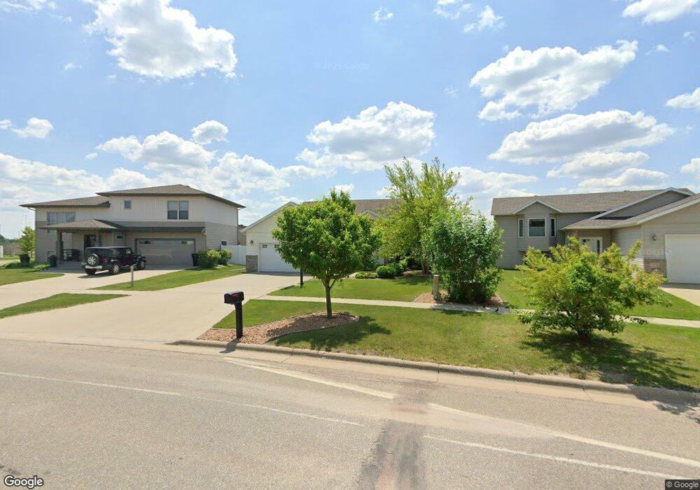
1884 10th St W West Fargo, ND 58078
Elmwood Court NeighborhoodEstimated Value: $372,000 - $424,286
4
Beds
3
Baths
2,304
Sq Ft
$173/Sq Ft
Est. Value
About This Home
This home is located at 1884 10th St W, West Fargo, ND 58078 and is currently estimated at $398,143, approximately $172 per square foot. 1884 10th St W is a home located in Cass County with nearby schools including Westside Elementary School, Cheney Middle School, and West Fargo High School.
Ownership History
Date
Name
Owned For
Owner Type
Purchase Details
Closed on
Feb 27, 2015
Sold by
Sessler Bradley C
Bought by
Griffith Jon M and Griffith Brittany P
Current Estimated Value
Home Financials for this Owner
Home Financials are based on the most recent Mortgage that was taken out on this home.
Original Mortgage
$214,200
Outstanding Balance
$163,934
Interest Rate
3.66%
Mortgage Type
New Conventional
Estimated Equity
$234,209
Purchase Details
Closed on
Apr 6, 2007
Sold by
Feser Mark C
Bought by
Sessler Bradley C
Home Financials for this Owner
Home Financials are based on the most recent Mortgage that was taken out on this home.
Original Mortgage
$46,450
Interest Rate
6.25%
Mortgage Type
Purchase Money Mortgage
Create a Home Valuation Report for This Property
The Home Valuation Report is an in-depth analysis detailing your home's value as well as a comparison with similar homes in the area
Home Values in the Area
Average Home Value in this Area
Purchase History
| Date | Buyer | Sale Price | Title Company |
|---|---|---|---|
| Griffith Jon M | $238,000 | Title Co | |
| Sessler Bradley C | -- | -- |
Source: Public Records
Mortgage History
| Date | Status | Borrower | Loan Amount |
|---|---|---|---|
| Open | Griffith Jon M | $214,200 | |
| Previous Owner | Sessler Bradley C | $46,450 |
Source: Public Records
Tax History Compared to Growth
Tax History
| Year | Tax Paid | Tax Assessment Tax Assessment Total Assessment is a certain percentage of the fair market value that is determined by local assessors to be the total taxable value of land and additions on the property. | Land | Improvement |
|---|---|---|---|---|
| 2024 | $4,212 | $161,450 | $25,750 | $135,700 |
| 2023 | $4,655 | $159,050 | $25,750 | $133,300 |
| 2022 | $4,576 | $149,750 | $25,750 | $124,000 |
| 2021 | $4,470 | $137,250 | $20,600 | $116,650 |
| 2020 | $4,199 | $131,250 | $20,600 | $110,650 |
| 2019 | $3,955 | $127,000 | $20,600 | $106,400 |
| 2018 | $4,156 | $128,200 | $20,600 | $107,600 |
| 2017 | $4,768 | $127,150 | $20,600 | $106,550 |
| 2016 | $4,414 | $124,050 | $20,600 | $103,450 |
| 2015 | $3,958 | $93,950 | $10,850 | $83,100 |
| 2014 | $3,959 | $87,800 | $10,850 | $76,950 |
| 2013 | $3,874 | $85,550 | $10,850 | $74,700 |
Source: Public Records
Map
Nearby Homes
- 1264 Marlys Dr W
- 723 16th Ave W
- 1029 Highland Ln W
- 2101 10th St W
- 1043 Barnes Dr W
- 1179 Highland Ln W
- 1633 3rd St W
- 1447 Elmwood Ct
- 2054 12th St W
- 1844 1st St
- 2170 Dock Dr
- 1234 Highland Ln W
- 154 W Beaton Dr
- 2216 10th Ct W
- 232 15th Ave W
- 517 18th Ave E
- 2124 14th St W
- 830 12th Ave W
- 713 23rd Ave W
- 1220 Legion Ln W
- 1890 10th St W
- 1872 10th St W
- 1872 1872 10th-Street-w
- 1872 7th St W
- 1866 10th St W
- 627 19th Ave W
- 1860 10th St W
- 1866 7th St W
- 621 19th Ave W
- 1858 10th St W
- 1867 10th St W
- 1875 7th St W
- 1860 7th St W
- 1854 10th St W
- 1869 7th St W
- 1869 7th St W
- 615 19th Ave W
- 1852 10th St W
- 1854 7th St W
- 1855 10th St W