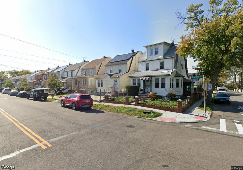
18843 Mangin Ave Saint Albans, NY 11412
Hollis NeighborhoodEstimated Value: $723,302 - $991,000
--
Bed
--
Bath
1,680
Sq Ft
$501/Sq Ft
Est. Value
About This Home
This home is located at 18843 Mangin Ave, Saint Albans, NY 11412 and is currently estimated at $841,076, approximately $500 per square foot. 18843 Mangin Ave is a home located in Queens County with nearby schools including P.S. 118 Lorraine Hansberry, I.S. 192 The Linden, and Riverton Street Charter School.
Ownership History
Date
Name
Owned For
Owner Type
Purchase Details
Closed on
Apr 15, 2016
Sold by
Lloyd Hercott R
Bought by
Lloyd Claudette M
Current Estimated Value
Purchase Details
Closed on
Aug 24, 2007
Sold by
Lloyd Claudette M
Bought by
Lloyd Hercott
Purchase Details
Closed on
Oct 4, 1996
Sold by
Pogue Orphelia
Bought by
Lloyd Claudette M
Home Financials for this Owner
Home Financials are based on the most recent Mortgage that was taken out on this home.
Original Mortgage
$125,750
Interest Rate
7.83%
Mortgage Type
FHA
Create a Home Valuation Report for This Property
The Home Valuation Report is an in-depth analysis detailing your home's value as well as a comparison with similar homes in the area
Home Values in the Area
Average Home Value in this Area
Purchase History
| Date | Buyer | Sale Price | Title Company |
|---|---|---|---|
| Lloyd Claudette M | -- | -- | |
| Lloyd Hercott | -- | -- | |
| Lloyd Claudette M | $127,000 | First American Title Ins Co |
Source: Public Records
Mortgage History
| Date | Status | Borrower | Loan Amount |
|---|---|---|---|
| Previous Owner | Lloyd Claudette M | $125,750 |
Source: Public Records
Tax History Compared to Growth
Tax History
| Year | Tax Paid | Tax Assessment Tax Assessment Total Assessment is a certain percentage of the fair market value that is determined by local assessors to be the total taxable value of land and additions on the property. | Land | Improvement |
|---|---|---|---|---|
| 2025 | $5,570 | $29,393 | $7,212 | $22,181 |
| 2024 | $5,570 | $27,730 | $7,675 | $20,055 |
| 2023 | $5,254 | $26,161 | $7,035 | $19,126 |
| 2022 | $3,764 | $42,480 | $11,940 | $30,540 |
| 2021 | $4,308 | $35,520 | $11,940 | $23,580 |
| 2020 | $4,298 | $36,960 | $11,940 | $25,020 |
| 2019 | $4,834 | $34,740 | $11,940 | $22,800 |
| 2018 | $4,444 | $21,801 | $9,514 | $12,287 |
| 2017 | $4,193 | $20,568 | $9,475 | $11,093 |
| 2016 | $4,112 | $20,568 | $9,475 | $11,093 |
| 2015 | $2,340 | $20,412 | $9,639 | $10,773 |
| 2014 | $2,340 | $19,257 | $10,534 | $8,723 |
Source: Public Records
Map
Nearby Homes
- 188-25 Mangin Ave
- 187-44 Jordan Ave
- 18823 Mangin Ave
- 188-07 Mangin Ave
- 18833 Keeseville Ave
- 188-31 Jordan Ave
- 111-06 Farmers Blvd
- 186-16 Hilburn Ave
- 19022 111th Rd
- 191-40 112th Rd
- 183-34 Fonda Ave
- 18908 114th Rd
- 190-59 112th Ave
- 187-23 Brinkerhoff Ave
- 190-63 112th Ave
- 183-29 Brinkerhoff Ave
- 10533 Farmers Blvd
- 194-16 112th Ave
- 19404 110th Rd
- 19027 109th Rd
- 18847 Mangin Ave
- 18841 Mangin Ave
- 18837 Mangin Ave
- 18835 Mangin Ave
- 18835 Mangin Ave
- 18744 Jordan Ave
- 18748 Jordan Ave
- 18901 Mangin Ave
- 189-01 Mangin Ave
- 18740 Jordan Ave
- 18831 Mangin Ave
- 18831 Mangin Ave
- 187-48 Jordan Ave Unit 1
- 18736 Jordan Ave
- 18905 Mangin Ave
- 189-13 Mangin Ave
- 189-05 Mangin Ave
- 18829 Mangin Ave
- 18804 Jordan Ave
- 188-04 Jordan Ave