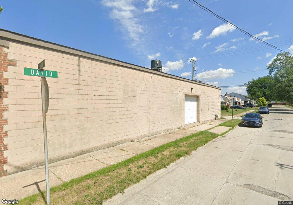
18844 Dix Rd Melvindale, MI 48122
Estimated Value: $40,288
Studio
--
Bath
1,680
Sq Ft
$24/Sq Ft
Est. Value
About This Home
This home is located at 18844 Dix Rd, Melvindale, MI 48122 and is currently estimated at $40,288, approximately $23 per square foot. 18844 Dix Rd is a home located in Wayne County with nearby schools including Rogers Early Elementary School, Allendale Elementary School, and Julian O. Strong Middle School.
Ownership History
Date
Name
Owned For
Owner Type
Purchase Details
Closed on
Jul 10, 2013
Sold by
S & C Property Llc
Bought by
18844 Dix Llc
Current Estimated Value
Purchase Details
Closed on
Aug 15, 2006
Sold by
Meconi Nick
Bought by
S & C Property Llc
Purchase Details
Closed on
Sep 29, 2000
Sold by
Burns Bradley B
Bought by
Hamzeh Abbas
Purchase Details
Closed on
Sep 6, 2000
Sold by
Burns Bradley B
Bought by
Hamzeh Abbas
Create a Home Valuation Report for This Property
The Home Valuation Report is an in-depth analysis detailing your home's value as well as a comparison with similar homes in the area
Home Values in the Area
Average Home Value in this Area
Purchase History
| Date | Buyer | Sale Price | Title Company |
|---|---|---|---|
| 18844 Dix Llc | -- | None Available | |
| S & C Property Llc | $30,000 | General Title Agency | |
| Hamzeh Abbas | -- | -- | |
| Hamzeh Abbas | -- | -- |
Source: Public Records
Tax History
| Year | Tax Paid | Tax Assessment Tax Assessment Total Assessment is a certain percentage of the fair market value that is determined by local assessors to be the total taxable value of land and additions on the property. | Land | Improvement |
|---|---|---|---|---|
| 2025 | $1,598 | $31,200 | $0 | $0 |
| 2024 | $1,551 | $31,300 | $0 | $0 |
| 2023 | $1,475 | $29,700 | $0 | $0 |
| 2022 | $2,371 | $26,500 | $0 | $0 |
| 2021 | $2,297 | $25,500 | $0 | $0 |
| 2020 | $2,307 | $25,400 | $0 | $0 |
| 2019 | $2,355 | $29,700 | $0 | $0 |
| 2018 | $1,594 | $26,500 | $0 | $0 |
| 2017 | $1,391 | $26,100 | $0 | $0 |
| 2016 | $2,268 | $26,100 | $0 | $0 |
| 2015 | $2,660 | $26,600 | $0 | $0 |
| 2013 | $2,590 | $25,900 | $0 | $0 |
| 2012 | $1,551 | $25,900 | $2,400 | $23,500 |
Source: Public Records
Map
Nearby Homes
- 2735 Margaret St
- 19120 Dix Rd
- 19305 Wall St
- 19238 Harlow St
- 2140 Olive Ave
- 000 Harlow St
- 19504 Roger St
- 3603 Harlow Ave
- 1862 Montie Rd
- 1836 Reo Ave
- 24558 Outer Dr
- 18666 Reed St
- 2190 Morris Ave
- 2065 Morris Ave
- 2105 Morris Ave
- 2091 Morris Ave
- 14633 College Ave
- 14828 College Ave
- 1011 Lafayette Blvd
- 2146 University Ave
Your Personal Tour Guide
Ask me questions while you tour the home.