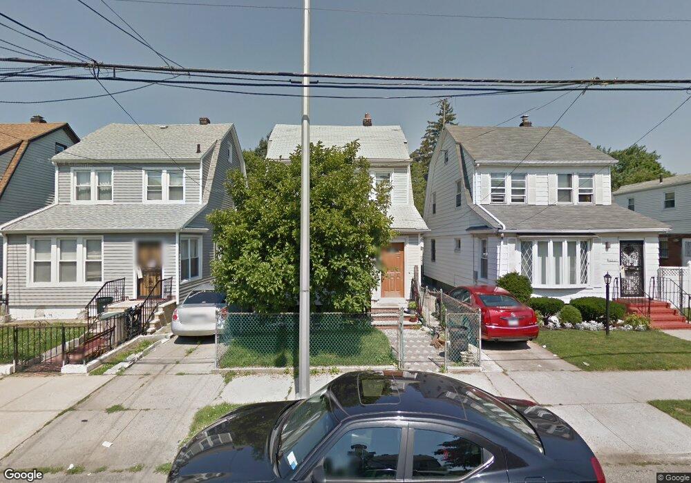
18845 Keeseville Ave Saint Albans, NY 11412
Hollis NeighborhoodEstimated Value: $638,000 - $733,000
--
Bed
--
Bath
1,380
Sq Ft
$494/Sq Ft
Est. Value
About This Home
This home is located at 18845 Keeseville Ave, Saint Albans, NY 11412 and is currently estimated at $681,236, approximately $493 per square foot. 18845 Keeseville Ave is a home located in Queens County with nearby schools including P.S. 118 Lorraine Hansberry, I.S. 192 The Linden, and Riverton Street Charter School.
Ownership History
Date
Name
Owned For
Owner Type
Purchase Details
Closed on
Oct 22, 2008
Sold by
Graham Richard and Graham Rosanna
Bought by
Esdelle Delbert and Esdelle Halcyon
Current Estimated Value
Home Financials for this Owner
Home Financials are based on the most recent Mortgage that was taken out on this home.
Original Mortgage
$354,438
Outstanding Balance
$230,728
Interest Rate
6.08%
Mortgage Type
Purchase Money Mortgage
Estimated Equity
$450,508
Create a Home Valuation Report for This Property
The Home Valuation Report is an in-depth analysis detailing your home's value as well as a comparison with similar homes in the area
Home Values in the Area
Average Home Value in this Area
Purchase History
| Date | Buyer | Sale Price | Title Company |
|---|---|---|---|
| Esdelle Delbert | $360,000 | -- | |
| Esdelle Delbert | $360,000 | -- |
Source: Public Records
Mortgage History
| Date | Status | Borrower | Loan Amount |
|---|---|---|---|
| Open | Esdelle Delbert | $354,438 | |
| Closed | Esdelle Delbert | $354,438 |
Source: Public Records
Tax History Compared to Growth
Tax History
| Year | Tax Paid | Tax Assessment Tax Assessment Total Assessment is a certain percentage of the fair market value that is determined by local assessors to be the total taxable value of land and additions on the property. | Land | Improvement |
|---|---|---|---|---|
| 2025 | $5,171 | $27,271 | $7,786 | $19,485 |
| 2024 | $5,171 | $25,747 | $6,998 | $18,749 |
| 2023 | $4,931 | $24,552 | $6,587 | $17,965 |
| 2022 | $4,901 | $39,300 | $11,220 | $28,080 |
| 2021 | $5,069 | $35,280 | $11,220 | $24,060 |
| 2020 | $4,810 | $30,360 | $11,220 | $19,140 |
| 2019 | $4,488 | $29,040 | $11,220 | $17,820 |
| 2018 | $4,171 | $20,460 | $11,220 | $9,240 |
| 2017 | $4,261 | $20,901 | $10,126 | $10,775 |
| 2016 | $4,013 | $20,901 | $10,126 | $10,775 |
| 2015 | $2,378 | $18,938 | $11,003 | $7,935 |
| 2014 | $2,378 | $17,880 | $12,480 | $5,400 |
Source: Public Records
Map
Nearby Homes
- 18833 Keeseville Ave
- 188-25 Mangin Ave
- 18823 Mangin Ave
- 188-07 Mangin Ave
- 187-44 Jordan Ave
- 188-31 Jordan Ave
- 111-06 Farmers Blvd
- 186-16 Hilburn Ave
- 19022 111th Rd
- 18908 114th Rd
- 191-40 112th Rd
- 190-59 112th Ave
- 190-63 112th Ave
- 183-34 Fonda Ave
- 188-45 Quencer Rd
- 187-23 Brinkerhoff Ave
- 194-16 112th Ave
- 191-16 114th Rd
- 183-29 Brinkerhoff Ave
- 194- 24 111th Rd
- 18841 Keeseville Ave
- 18847 Keeseville Ave
- 188-47 Keeseville Ave
- 18833 Keeseville Ave
- 11144 Hannibal St
- 18829 Keeseville Ave
- 18838 Mangin Ave
- 18836 Mangin Ave
- 18842 Mangin Ave
- 188-32 Mangin Ave
- 18832 Mangin Ave
- 18844 Mangin Ave
- 18825 Keeseville Ave Unit 1
- 18825 Keeseville Ave
- 18836 Mangin Ave
- 18830 Mangin Ave
- 18848 Mangin Ave
- 18823 Keeseville Ave
- 18834 Keeseville Ave