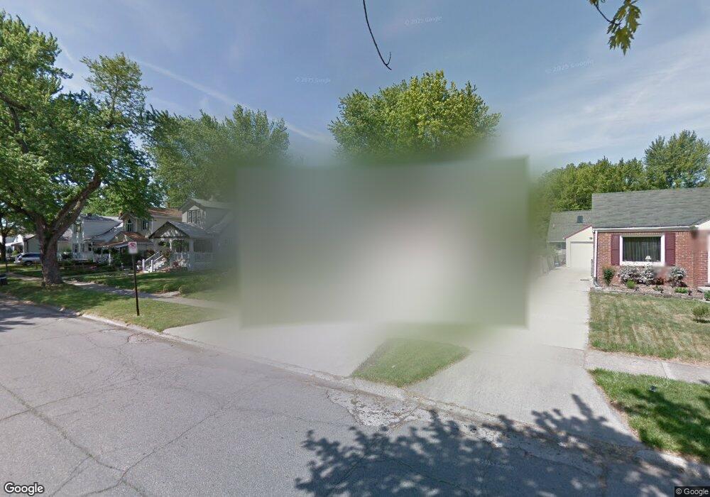
1885 Gardner Ave Unit Bldg-Unit Berkley, MI 48072
Estimated Value: $334,000 - $413,000
2
Beds
3
Baths
1,534
Sq Ft
$244/Sq Ft
Est. Value
About This Home
This home is located at 1885 Gardner Ave Unit Bldg-Unit, Berkley, MI 48072 and is currently estimated at $373,734, approximately $243 per square foot. 1885 Gardner Ave Unit Bldg-Unit is a home located in Oakland County with nearby schools including Angell Elementary School, Anderson Middle School, and Berkley High School.
Ownership History
Date
Name
Owned For
Owner Type
Purchase Details
Closed on
Oct 29, 2018
Sold by
Thompson Andrew and Thompson Jamie Rae
Bought by
Corso Blaise
Current Estimated Value
Purchase Details
Closed on
Jul 7, 2016
Sold by
Whybrew Ben and Whybrew Amanda
Bought by
Thompson Andrew and Thompson Jamie Rae
Purchase Details
Closed on
Jul 19, 2011
Sold by
Rouse Gail B
Bought by
Whybrew Ben and Whybrew Amanda
Purchase Details
Closed on
Oct 23, 2009
Sold by
Stone Jonathan E and Stone Melanie
Bought by
Rouse Gail B
Purchase Details
Closed on
Oct 27, 1999
Sold by
Mast James G
Bought by
Stone Jonathan E
Create a Home Valuation Report for This Property
The Home Valuation Report is an in-depth analysis detailing your home's value as well as a comparison with similar homes in the area
Home Values in the Area
Average Home Value in this Area
Purchase History
| Date | Buyer | Sale Price | Title Company |
|---|---|---|---|
| Corso Blaise | $313,500 | None Available | |
| Thompson Andrew | $280,000 | None Available | |
| Whybrew Ben | $183,000 | Parks | |
| Rouse Gail B | $174,900 | Title Direct Agency Llc | |
| Stone Jonathan E | $139,000 | -- |
Source: Public Records
Tax History Compared to Growth
Tax History
| Year | Tax Paid | Tax Assessment Tax Assessment Total Assessment is a certain percentage of the fair market value that is determined by local assessors to be the total taxable value of land and additions on the property. | Land | Improvement |
|---|---|---|---|---|
| 2024 | $5,739 | $171,500 | $0 | $0 |
| 2023 | $5,172 | $157,740 | $0 | $0 |
| 2022 | $5,169 | $144,980 | $0 | $0 |
| 2021 | $5,054 | $138,680 | $0 | $0 |
| 2020 | $4,834 | $133,580 | $0 | $0 |
| 2019 | $5,075 | $125,540 | $0 | $0 |
| 2018 | $4,412 | $113,210 | $0 | $0 |
| 2017 | $4,356 | $109,170 | $0 | $0 |
| 2016 | $3,172 | $101,590 | $0 | $0 |
| 2015 | -- | $93,310 | $0 | $0 |
| 2014 | -- | $84,220 | $0 | $0 |
| 2011 | -- | $78,170 | $0 | $0 |
Source: Public Records
Map
Nearby Homes
- 1888 Griffith Ave
- 2085 Gardner Ave
- 2863 Columbia Rd
- 14421 Labelle St
- 1799 Phillips Ave
- 14231 Borgman St
- 2679 Columbia Rd
- 14670 Talbot St
- 2907 Sunnyknoll Ave
- 14710 Loretta Place
- 13680 Borgman St
- 3325 Catalpa Dr
- 26040 Marlowe Place
- 2519 Phillips Ave
- 2112 Ellwood Ave
- 2756 Buckingham Ave
- 2435 Sunnyknoll Ave
- 2783 Royal Ave
- 2678 Bacon Ave
- 14420 Vernon St
- 1885 Gardner Ave
- 1933 Gardner Ave
- 1861 Gardner Ave
- 1853 Gardner Ave
- 1943 Gardner Ave
- 1910 Tyler Ave
- 1944 Tyler Ave
- 1928 Tyler Ave
- 1880 Tyler Ave
- 1860 Tyler Ave
- 1843 Gardner Ave
- 1957 Gardner Ave
- 1958 Tyler Ave
- 1829 Gardner Ave
- 1920 Gardner Ave
- 1844 Tyler Ave
- 1934 Gardner Ave
- 1900 Gardner Ave
- 1944 Gardner Ave
- 1979 Gardner Ave