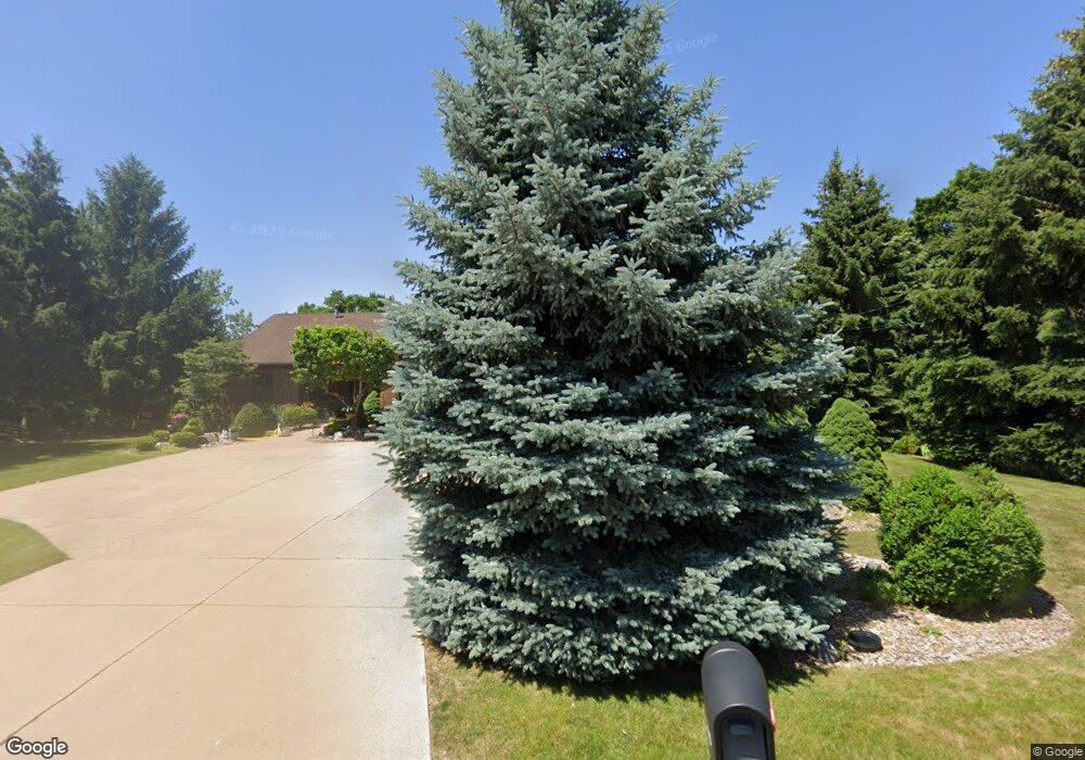
1885 Perkins Ave NE Grand Rapids, MI 49505
North East Citizens Action NeighborhoodEstimated Value: $419,000 - $459,000
2
Beds
3
Baths
1,331
Sq Ft
$332/Sq Ft
Est. Value
About This Home
This home is located at 1885 Perkins Ave NE, Grand Rapids, MI 49505 and is currently estimated at $441,691, approximately $331 per square foot. 1885 Perkins Ave NE is a home located in Kent County with nearby schools including Riverside Middle School, Union High School, and Knapp Charter Academy.
Ownership History
Date
Name
Owned For
Owner Type
Purchase Details
Closed on
Mar 10, 2016
Sold by
Hansen Gary L and Vandertill Shirley J
Bought by
Gary L Hansen & Shirley J Vandertill Tru
Current Estimated Value
Purchase Details
Closed on
Feb 27, 1990
Sold by
Potter Potter A A and Potter Hansen G
Bought by
Hansen Gary Vandertill Shirley
Purchase Details
Closed on
Apr 5, 1988
Purchase Details
Closed on
Apr 28, 1987
Bought by
Hansen Gary Vandertill Shirley
Create a Home Valuation Report for This Property
The Home Valuation Report is an in-depth analysis detailing your home's value as well as a comparison with similar homes in the area
Home Values in the Area
Average Home Value in this Area
Purchase History
| Date | Buyer | Sale Price | Title Company |
|---|---|---|---|
| Gary L Hansen & Shirley J Vandertill Tru | -- | Attorney | |
| Hansen Gary Vandertill Shirley | $129,000 | -- | |
| -- | $129,000 | -- | |
| Hansen Gary Vandertill Shirley | $14,500 | -- |
Source: Public Records
Tax History Compared to Growth
Tax History
| Year | Tax Paid | Tax Assessment Tax Assessment Total Assessment is a certain percentage of the fair market value that is determined by local assessors to be the total taxable value of land and additions on the property. | Land | Improvement |
|---|---|---|---|---|
| 2025 | $3,714 | $219,100 | $0 | $0 |
| 2024 | $3,714 | $211,800 | $0 | $0 |
| 2023 | $3,768 | $199,300 | $0 | $0 |
| 2022 | $3,577 | $173,300 | $0 | $0 |
| 2021 | $3,498 | $165,300 | $0 | $0 |
| 2020 | $3,344 | $150,100 | $0 | $0 |
| 2019 | $3,502 | $140,100 | $0 | $0 |
| 2018 | $3,382 | $120,600 | $0 | $0 |
| 2017 | $3,293 | $105,500 | $0 | $0 |
| 2016 | $3,332 | $101,200 | $0 | $0 |
| 2015 | $3,099 | $101,200 | $0 | $0 |
| 2013 | -- | $92,200 | $0 | $0 |
Source: Public Records
Map
Nearby Homes
- 2127 Krislin Dr NE
- 2041 Krislin St
- 2046 Dean Lake Ave NE
- 2070 Dean Lake Ave NE
- 2156 Ter van Dr NE Unit 48
- 1849 Ball Ave NE
- 2112 Jo Dean Ct NE
- 2165 Remington Way NE Unit 176
- 1455 Tenby Ct NE
- 2200 S Eventide Dr NE
- 1307 Cranbrook Terrace NE
- 1804 Carlton Ave NE
- 1283 Cranbrook Terrace NE Unit 18
- 1410 Rothbury Dr NE
- 2753 Dean Lake Ave NE
- 2020 Dean Lake Ave NE
- 2014 Dean Lake Ave NE
- 1701 Carlton Ave NE
- 1649 Carlton Ave NE
- 1335 Knapp St NE
- 1909 Perkins Ave NE
- 1925 Perkins Ave NE
- 1865 Perkins Ave NE
- 1888 Perkins Ave NE
- 1874 Perkins Ave NE
- 1920 Perkins Ave NE
- 1941 Perkins Ave NE
- 1855 Perkins Ave NE
- 1846 Brookmoor Ct NE
- 1850 Brookmoor Ct NE
- 1845 Perkins Ave NE
- 1930 Perkins Ave NE
- 1961 Perkins Ave NE
- 1840 Brookmoor Ct NE
- 1950 Knapp St NE
- 1847 Brookmoor Ct NE
- 1950 Perkins Ave NE
- 1810 Perkins Ave NE
- 1944 Knapp St NE
- 1834 Brookmoor Ct NE