1885 Rosedale St West Bloomfield, MI 48324
Estimated Value: $204,000 - $481,000
3
Beds
1
Bath
864
Sq Ft
$350/Sq Ft
Est. Value
About This Home
This home is located at 1885 Rosedale St, West Bloomfield, MI 48324 and is currently estimated at $302,372, approximately $349 per square foot. 1885 Rosedale St is a home located in Oakland County with nearby schools including Waterford Montessori Academy, Our Lady Of Refuge School, and Lakecrest Baptist School.
Ownership History
Date
Name
Owned For
Owner Type
Purchase Details
Closed on
Feb 26, 2002
Sold by
Stieler Carl J
Bought by
Stieler Carl J
Current Estimated Value
Home Financials for this Owner
Home Financials are based on the most recent Mortgage that was taken out on this home.
Original Mortgage
$105,000
Interest Rate
6.87%
Purchase Details
Closed on
Aug 21, 1996
Sold by
Glover Patrick M
Bought by
Stieler Carl J
Home Financials for this Owner
Home Financials are based on the most recent Mortgage that was taken out on this home.
Original Mortgage
$100,000
Interest Rate
8.3%
Create a Home Valuation Report for This Property
The Home Valuation Report is an in-depth analysis detailing your home's value as well as a comparison with similar homes in the area
Home Values in the Area
Average Home Value in this Area
Purchase History
| Date | Buyer | Sale Price | Title Company |
|---|---|---|---|
| Stieler Carl J | -- | -- | |
| Stieler Carl J | $132,500 | -- |
Source: Public Records
Mortgage History
| Date | Status | Borrower | Loan Amount |
|---|---|---|---|
| Previous Owner | Stieler Carl J | $105,000 | |
| Previous Owner | Stieler Carl J | $100,000 |
Source: Public Records
Tax History Compared to Growth
Tax History
| Year | Tax Paid | Tax Assessment Tax Assessment Total Assessment is a certain percentage of the fair market value that is determined by local assessors to be the total taxable value of land and additions on the property. | Land | Improvement |
|---|---|---|---|---|
| 2024 | $2,503 | $104,990 | $0 | $0 |
| 2022 | $2,386 | $84,520 | $30,000 | $54,520 |
| 2021 | $2,980 | $78,150 | $0 | $0 |
| 2020 | $2,149 | $75,170 | $30,000 | $45,170 |
| 2018 | $2,808 | $73,470 | $37,500 | $35,970 |
| 2015 | -- | $55,660 | $0 | $0 |
| 2014 | -- | $50,430 | $0 | $0 |
| 2011 | -- | $50,920 | $0 | $0 |
Source: Public Records
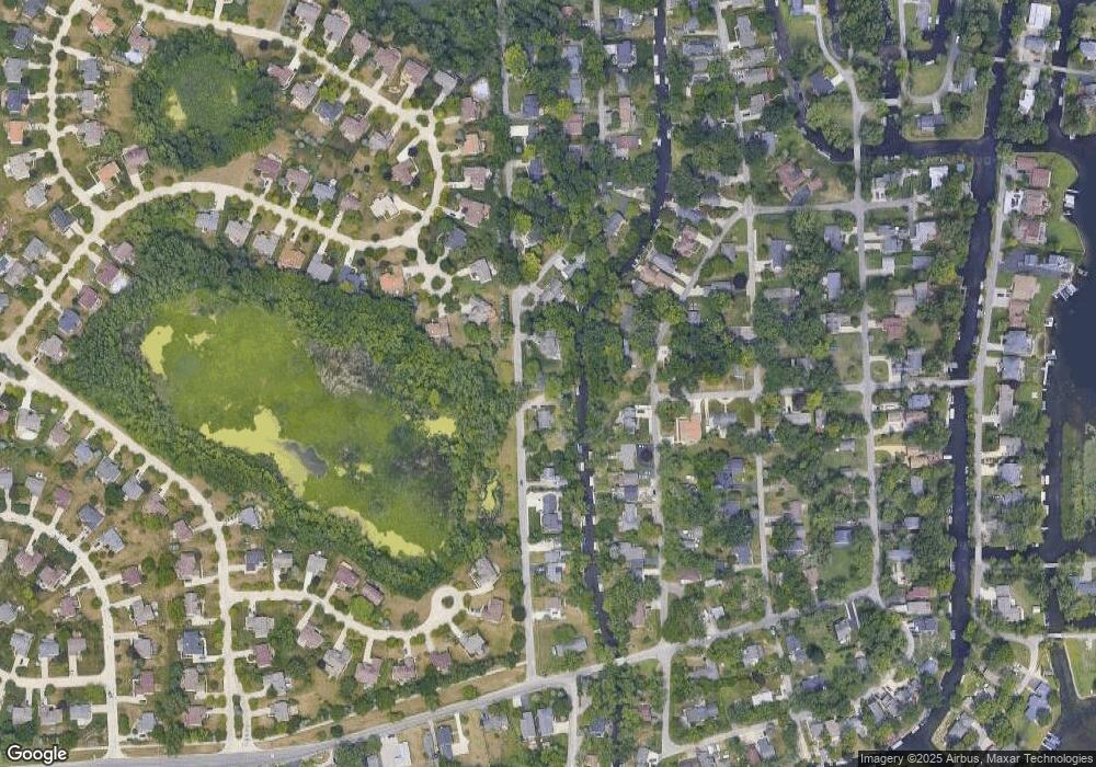
Map
Nearby Homes
- 2115 Aldwin Dr
- 1677 Parkview Ave
- 5145 Greer Rd
- 5149 Latimer St
- 1522 Oregon Ct
- 1859 Poppleton Dr
- 1753 Dawncrest Dr
- 1844 Poppleton Dr
- 4796 Dow Ridge Rd
- 4764 Dow Ridge Rd
- 00000 Muskingum
- 2110 Peachtree Ct
- 1265 Oregon Blvd
- 4098 Parkway
- 1036 Pelham Blvd
- 5699 Applegrove Dr
- 5094 Coshocton Dr
- 2140 Timberridge Ct
- 4773 Chipman Dr
- 5190 Westcombe Ln
- 1895 Rosedale St
- 1865 Rosedale St
- 1876 Allendale Ave
- 1876 Allendale Ave
- 1926 Allendale Ave
- 1870 Allendale Ave
- 1819 Post Ave
- 1915 Rosedale St
- 4983 Arbor Ct
- 1940 Allendale Ave
- 4790 Algonquin Ave
- 1809 Post Ave
- 1860 Allendale Ave
- 0000 Allendale Ave
- 1929 Rosedale St
- 1952 Allendale Ave
- 4785 Algonquin Ave
- 4979 Arbor Ct
- 4987 Arbor Ct
- 1755 Rosedale St