1885 Wildcat Trace Cir Lawrenceville, GA 30043
Estimated Value: $360,000 - $390,000
4
Beds
3
Baths
1,734
Sq Ft
$218/Sq Ft
Est. Value
About This Home
This home is located at 1885 Wildcat Trace Cir, Lawrenceville, GA 30043 and is currently estimated at $378,634, approximately $218 per square foot. 1885 Wildcat Trace Cir is a home located in Gwinnett County with nearby schools including Taylor Elementary School, Creekland Middle School, and Collins Hill High School.
Ownership History
Date
Name
Owned For
Owner Type
Purchase Details
Closed on
Jul 28, 2005
Sold by
Whitehall Builders Llc
Bought by
Durfee Robert
Current Estimated Value
Home Financials for this Owner
Home Financials are based on the most recent Mortgage that was taken out on this home.
Original Mortgage
$41,900
Interest Rate
5.14%
Mortgage Type
New Conventional
Create a Home Valuation Report for This Property
The Home Valuation Report is an in-depth analysis detailing your home's value as well as a comparison with similar homes in the area
Home Values in the Area
Average Home Value in this Area
Purchase History
| Date | Buyer | Sale Price | Title Company |
|---|---|---|---|
| Durfee Robert | $209,500 | -- |
Source: Public Records
Mortgage History
| Date | Status | Borrower | Loan Amount |
|---|---|---|---|
| Closed | Durfee Robert | $41,900 | |
| Open | Durfee Robert | $167,600 |
Source: Public Records
Tax History Compared to Growth
Tax History
| Year | Tax Paid | Tax Assessment Tax Assessment Total Assessment is a certain percentage of the fair market value that is determined by local assessors to be the total taxable value of land and additions on the property. | Land | Improvement |
|---|---|---|---|---|
| 2025 | $4,546 | $164,560 | $26,320 | $138,240 |
| 2024 | $4,456 | $153,560 | $28,000 | $125,560 |
| 2023 | $4,456 | $153,560 | $28,000 | $125,560 |
| 2022 | $4,101 | $138,040 | $28,000 | $110,040 |
| 2021 | $3,408 | $102,200 | $19,200 | $83,000 |
| 2020 | $3,190 | $91,040 | $19,200 | $71,840 |
| 2019 | $3,022 | $87,880 | $17,720 | $70,160 |
| 2018 | $3,023 | $87,880 | $17,720 | $70,160 |
| 2016 | $2,699 | $74,000 | $14,000 | $60,000 |
| 2015 | $2,457 | $66,400 | $11,200 | $55,200 |
| 2014 | -- | $62,080 | $10,800 | $51,280 |
Source: Public Records
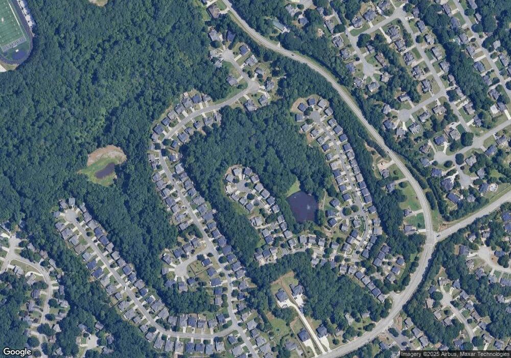
Map
Nearby Homes
- 2140 Wildcat Cliffs Way
- 2061 Wildcat Cliffs Ln
- 205 Camden Creek Ct
- 2205 Parliament Dr
- 1838 Prince Dr
- 275 Rose Ivy Ct
- 2155 Parliament Dr
- 1909 McLennon Ct
- 665 Rosedown Way
- 1885 Spring Rose Glen
- 1839 Stonebrook Way
- 2276 & 2286 Lake Ridge Terrace
- 2276 & Lake Ridge Terrace
- 525 Provence Gate Ln
- 2050 Fortuna St
- 307 Creek Front Way Unit 2
- 1707 Tidewell Trace
- 1795 Laurel Creek Dr
- 48 Russell Rd
- 398 Dunleven Manor Walk
- 1875 Wildcat Trace Cir
- 1895 Wildcat Trace Cir
- 1865 Wildcat Trace Cir
- 1905 Wildcat Trace Cir
- 1900 Wildcat Trace Cir
- 1855 Wildcat Trace Cir
- 1880 Wildcat Trace Cir
- 1860 Wildcat Trace Cir
- 1890 Wildcat Trace Cir
- 1845 Wildcat Trace Cir
- 1840 Wildcat Trace Cir
- 1835 Wildcat Trace Cir
- 1824 Wildcat Trace Cir
- 1825 Wildcat Trace Cir
- 2075 Wildcat Cliffs Way
- 2065 Wildcat Cliffs Way
- 2085 Wildcat Cliffs Way Unit 2
- 2055 Wildcat Cliffs Way
- 2095 Wildcat Cliffs Way Unit 2
- 1814 Wildcat Trace Cir