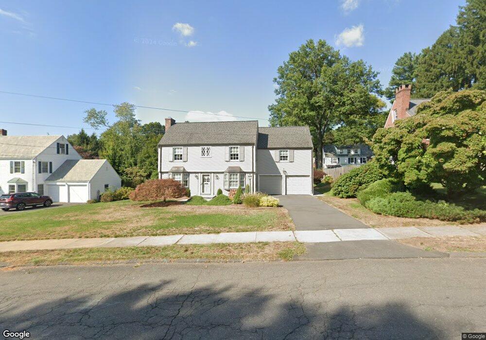
1886 Asylum Ave West Hartford, CT 06117
Estimated Value: $576,000 - $686,000
3
Beds
3
Baths
1,977
Sq Ft
$325/Sq Ft
Est. Value
About This Home
This home is located at 1886 Asylum Ave, West Hartford, CT 06117 and is currently estimated at $642,922, approximately $325 per square foot. 1886 Asylum Ave is a home located in Hartford County with nearby schools including Bugbee School, King Philip Middle School, and Hall High School.
Ownership History
Date
Name
Owned For
Owner Type
Purchase Details
Closed on
Feb 14, 2023
Sold by
Cicchetti Alan J and Cicchetti Cynthia T
Bought by
Cicchetti T
Current Estimated Value
Purchase Details
Closed on
Mar 18, 1988
Sold by
Maffett B H
Bought by
Cocchetti A J
Create a Home Valuation Report for This Property
The Home Valuation Report is an in-depth analysis detailing your home's value as well as a comparison with similar homes in the area
Home Values in the Area
Average Home Value in this Area
Purchase History
| Date | Buyer | Sale Price | Title Company |
|---|---|---|---|
| Cicchetti T | -- | None Available | |
| Cocchetti A J | $295,000 | -- |
Source: Public Records
Mortgage History
| Date | Status | Borrower | Loan Amount |
|---|---|---|---|
| Previous Owner | Cocchetti A J | $168,900 | |
| Previous Owner | Cocchetti A J | $248,924 | |
| Previous Owner | Cocchetti A J | $263,200 | |
| Previous Owner | Cocchetti A J | $60,000 |
Source: Public Records
Tax History Compared to Growth
Tax History
| Year | Tax Paid | Tax Assessment Tax Assessment Total Assessment is a certain percentage of the fair market value that is determined by local assessors to be the total taxable value of land and additions on the property. | Land | Improvement |
|---|---|---|---|---|
| 2025 | $12,081 | $269,780 | $118,860 | $150,920 |
| 2024 | $11,425 | $269,780 | $118,860 | $150,920 |
| 2023 | $11,039 | $269,780 | $118,860 | $150,920 |
| 2022 | $10,975 | $269,780 | $118,860 | $150,920 |
| 2021 | $10,360 | $244,230 | $118,860 | $125,370 |
| 2020 | $9,603 | $229,740 | $111,300 | $118,440 |
| 2019 | $9,603 | $229,740 | $111,300 | $118,440 |
| 2018 | $9,419 | $229,740 | $111,300 | $118,440 |
| 2017 | $9,429 | $229,740 | $111,300 | $118,440 |
| 2016 | $9,384 | $237,510 | $117,180 | $120,330 |
| 2015 | $9,099 | $237,510 | $117,180 | $120,330 |
| 2014 | $8,876 | $237,510 | $117,180 | $120,330 |
Source: Public Records
Map
Nearby Homes
- 62 Blue Ridge Ln
- 47 Flagg Rd
- 2581 Albany Ave
- 30 Farmstead Ln
- 56 Fox Chase Ln
- 1294 Trout Brook Dr
- 132 N Main St
- 129 Middlebrook Rd
- 1272 Trout Brook Dr
- 1268 Trout Brook Dr
- 50 Magnolia Hill
- 11 Rye Ridge Pkwy
- 11 Lawler Rd
- 26 Berwyn Rd
- 1196 Trout Brook Dr
- 592 Mountain Rd Unit A
- 139 Mohawk Dr
- 183 Loomis Dr Unit 109
- 1110 Trout Brook Dr
- 37 W Normandy Dr
- 1890 Asylum Ave
- 21 Mountain View Dr
- 25 Mountain View Dr
- 1883 Asylum Ave
- 4 Blue Ridge Ln
- 1885 Asylum Ave
- 10 Blue Ridge Ln
- 1889 Asylum Ave
- 1893 Asylum Ave
- 22 High Point Ln
- 1898 Asylum Ave
- 1895 Asylum Ave
- 2 Hatheway Dr
- 24 Mountain View Dr
- 11 Blue Ridge Ln
- 6 Hatheway Dr
- 22 Mountain View Dr
- 11 Mountain View Dr
- 1872 Asylum Ave
- 16 Mountain View Dr