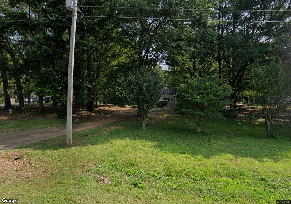
1886 Clifford Ct NW Monroe, GA 30656
Estimated Value: $261,000 - $323,000
--
Bed
--
Bath
1,500
Sq Ft
$192/Sq Ft
Est. Value
About This Home
This home is located at 1886 Clifford Ct NW, Monroe, GA 30656 and is currently estimated at $287,332, approximately $191 per square foot. 1886 Clifford Ct NW is a home located in Walton County with nearby schools including Walker Park Elementary School, Carver Middle School, and Monroe Area High School.
Ownership History
Date
Name
Owned For
Owner Type
Purchase Details
Closed on
Jun 27, 2023
Sold by
Campbell Dorsey
Bought by
Spence Michael Lee
Current Estimated Value
Purchase Details
Closed on
Jul 31, 2007
Sold by
Suntrust Mtg Inc
Bought by
Campbell Dorsey Y
Purchase Details
Closed on
Apr 3, 2007
Sold by
Holly William
Bought by
Suntrust Mtg Inc
Purchase Details
Closed on
Apr 22, 1999
Sold by
Moran Stacy B
Bought by
Holly William
Home Financials for this Owner
Home Financials are based on the most recent Mortgage that was taken out on this home.
Original Mortgage
$84,250
Interest Rate
7%
Mortgage Type
New Conventional
Purchase Details
Closed on
May 25, 1995
Sold by
Anderson Curtis
Bought by
Moran Stacy
Purchase Details
Closed on
Jul 6, 1988
Bought by
Anderson W Curtis
Create a Home Valuation Report for This Property
The Home Valuation Report is an in-depth analysis detailing your home's value as well as a comparison with similar homes in the area
Home Values in the Area
Average Home Value in this Area
Purchase History
| Date | Buyer | Sale Price | Title Company |
|---|---|---|---|
| Spence Michael Lee | -- | -- | |
| Campbell Dorsey Y | $85,000 | -- | |
| Suntrust Mtg Inc | $84,539 | -- | |
| Holly William | $86,900 | -- | |
| Moran Stacy | $64,000 | -- | |
| Anderson W Curtis | $59,900 | -- |
Source: Public Records
Mortgage History
| Date | Status | Borrower | Loan Amount |
|---|---|---|---|
| Previous Owner | Holly William | $84,250 | |
| Closed | Moran Stacy | $0 |
Source: Public Records
Tax History Compared to Growth
Tax History
| Year | Tax Paid | Tax Assessment Tax Assessment Total Assessment is a certain percentage of the fair market value that is determined by local assessors to be the total taxable value of land and additions on the property. | Land | Improvement |
|---|---|---|---|---|
| 2024 | $946 | $80,720 | $18,800 | $61,920 |
| 2023 | $2,414 | $79,600 | $18,800 | $60,800 |
| 2022 | $2,221 | $70,240 | $14,800 | $55,440 |
| 2021 | $1,725 | $52,960 | $10,000 | $42,960 |
| 2020 | $1,632 | $48,840 | $8,000 | $40,840 |
| 2019 | $1,467 | $41,160 | $8,000 | $33,160 |
| 2018 | $1,376 | $41,160 | $8,000 | $33,160 |
| 2017 | $1,308 | $37,960 | $8,000 | $29,960 |
| 2016 | $996 | $29,320 | $6,000 | $23,320 |
| 2015 | $842 | $24,400 | $6,000 | $18,400 |
| 2014 | $735 | $20,760 | $6,000 | $14,760 |
Source: Public Records
Map
Nearby Homes
- 1909 Clifford Ct NW
- 1909 Clifford Ct NW
- 1869 Clifford Ct NW
- 1929 Clifford Ct NW
- 0 Clifford Ct Unit 8669429
- 0 Clifford Ct Unit 8585590
- 0 Clifford Ct
- 596 Phillips Dr
- 616 Phillips Dr
- 1983 State Highway 11
- 1930 Clifford Ct NW
- 1930 Clifford Ct NW Unit 109
- 1930 Clifford Ct NW
- 1930 Clifford Ct NW
- 1870 Clifford Ct NW
- 1910 Clifford Ct NW
- 1983 Highway 11 NW
- 1890 Clifford Ct NW
- 1963 Georgia 11
- 1906 Phillips Ct NW